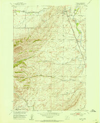
1951 Map of Wilsall
USGS Topo · Published 1953About this map
Wilsall serves as the focal point of this 1951 survey, situated at the confluence of the Northern Pacific railroad and the Shields River. The settlement pattern reflects the early development of Park County, with the town’s layout and the Wilsall Cemetery clearly defined against the backdrop of the high Battle Ridge to the west. The map illustrates a landscape transitioning from the river bottomlands into the foothills of the Little Belt Mountains.
Find a feature on this map
17 named features on this map. Tap any name to fly to it.
Don’t see what you’re looking for? This feature index may not catch every label — zoom into the map to look around manually.
Map Details
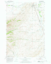
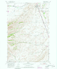
Editions of this 1951 Wilsall Map
3 editions found
Other maps of this area

1886 · Little Belt Mts.
USGS Topo · 1:250,000

1891 · Livingston
USGS Topo · 1:250,000

1893 · Livingston
USGS Topo · 1:250,000

1894 · Little Belt Mts.
USGS Topo · 1:250,000

1897 · Little Belt Mts.
USGS Topo · 1:250,000

1898 · Little Belt Mts.
USGS Topo · 1:250,000

1902 · Little Belt Mts.
USGS Topo · 1:250,000

1947 · Bozeman
USGS Topo · 1:250,000

1948 · Bozeman
USGS Topo · 1:250,000

1948 · White Sulphur Springs
USGS Topo · 1:250,000