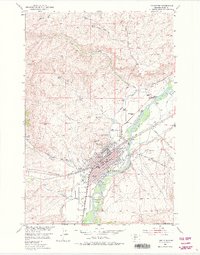
1951 Map of Livingston
USGS Topo · Published 1975About this map
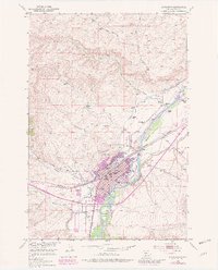
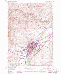
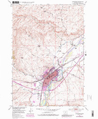
The Yellowstone River anchors this 1951 study of the Park County area, where the waterway splits around Livingston Island and Siebeck Island as it passes the regional hub of Livingston. The town's grid is dense with civic landmarks, including the Court House, City Hall, and several educational facilities like the North Side School and Winans School. To the east and west, the landscape is defined by the legacy of early Montana ranching, with family names appearing on properties such as Perry Ranch, Tandy Ranch, and the Mitchell Ranch (Aband). Industrial and transportation infrastructure is prominent, featuring the Northern Pacific railroad tracks and the Livingston Airport. This survey captures a moment of established settlement where agriculture and mountain hydrology meet, evidenced by the network of irrigation ditches and flumes near Dry Creek and Fleshman Creek.
Find a feature on this map
52 named features on this map. Tap any name to fly to it.
Don’t see what you’re looking for? This feature index may not catch every label — zoom into the map to look around manually.
Map Details
Editions of this 1951 Livingston Map
7 editions found
Other maps of this area

1891 · Livingston
USGS Topo · 1:250,000

1893 · Livingston
USGS Topo · 1:250,000

1947 · Bozeman
USGS Topo · 1:250,000

1948 · Bozeman
USGS Topo · 1:250,000

1951 · Gobblers Knob
USGS Topo · 1:24,000

1951 · Chadborn
USGS Topo · 1:24,000

1951 · Grannis
USGS Topo · 1:24,000

1951 · Brisbin
USGS Topo · 1:24,000

1951 · Hoppers
USGS Topo · 1:24,000

1951 · Livingston Peak
USGS Topo · 1:24,000