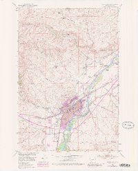
1951 Map of Livingston
USGS Topo · Published 1981About this map
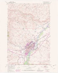
The Yellowstone River anchors this study of Livingston, Montana, as it appeared before the turn of the 1980s. The landscape is defined by the river’s braids around Livingston Island and Siebeck Island, and a network of irrigation ditches and flumes serving the surrounding rangeland. Within the city, social and civic landmarks are prominently noted, from the High School and Winans School to the Civic Center and Sacajawea Park.
Find a feature on this map
50 named features on this map. Tap any name to fly to it.
Don’t see what you’re looking for? This feature index may not catch every label — zoom into the map to look around manually.
Map Details
Editions of this 1951 Livingston Map
7 editions found
Other maps of this area

1891 · Livingston
USGS Topo · 1:250,000

1893 · Livingston
USGS Topo · 1:250,000

1947 · Bozeman
USGS Topo · 1:250,000

1948 · Bozeman
USGS Topo · 1:250,000

1951 · Gobblers Knob
USGS Topo · 1:24,000

1951 · Chadborn
USGS Topo · 1:24,000

1951 · Grannis
USGS Topo · 1:24,000

1951 · Brisbin
USGS Topo · 1:24,000

1951 · Hoppers
USGS Topo · 1:24,000

1951 · Livingston Peak
USGS Topo · 1:24,000