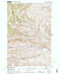
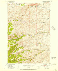
1951 Map of Hoppers
USGS Topo · Published 1981About this map
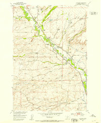
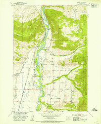
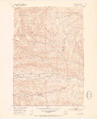
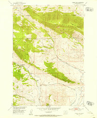
Industrial remains of the coal mining era define the southern reaches of this landscape near the Gallatin National Forest boundary. Significant infrastructure associated with the extraction industry is documented here, including the Cokedale Mines No 1, Cokedale Mines No 2, and nearby Coke Ovens, all marked as abandoned by the mid-twentieth century. The Cokedale School and various ruins indicate the presence of a once-active community supported by these operations. The Northern Pacific railroad corridor runs through the center of the sheet, connecting the settlement of Hoppers to the broader regional network. To the north, the terrain is shaped by numerous waterways such as Fleshman Creek, Perkins Creek, and Billman Creek, which carve through the foothills and provide a stark contrast to the heavy industrial activity found along the southern valleys.
Find a feature on this map
20 named features on this map. Tap any name to fly to it.
Don’t see what you’re looking for? This feature index may not catch every label — zoom into the map to look around manually.
Map Details
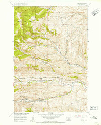
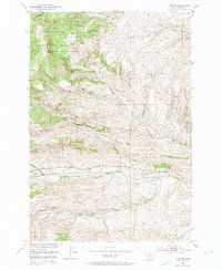
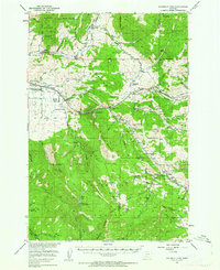
Editions of this 1951 Hoppers Map
5 editions found

Other maps of this area

1891 · Livingston
USGS Topo · 1:250,000

1893 · Livingston
USGS Topo · 1:250,000

1947 · Bozeman
USGS Topo · 1:250,000

1948 · Bozeman
USGS Topo · 1:250,000
1951 · Bozeman Pass
USGS Topo · 1:62,500
1951 · Gobblers Knob
USGS Topo · 1:24,000
1951 · Chadborn
USGS Topo · 1:24,000
1951 · Brisbin
USGS Topo · 1:24,000
1951 · Hoppers
USGS Topo · 1:24,000
1951 · Chimney Rock
USGS Topo · 1:24,000