Old Maps of Kotke, Montana for Metal Detecting
Plan your next treasure hunt with 16 historic maps of Kotke. Find old homesites, ghost towns, trails, and gathering spots that may be lost to time — perfect for identifying promising metal detecting locations.
- Locate forgotten sites: Uncover places like long-lost settlements, abandoned rail lines, or gathering spots.
- Plan better hunts: Use map overlays combined with LiDAR or satellite views to narrow in on historically rich areas.
- Made for detectorists: Thousands of hobbyists use these maps to discover relics, coins, and hidden history.
Use these historic maps to boost your research and find new opportunities beneath the surface of Kotke.
Kotke, MT maps
(16)- 1891 Map of Livingston
 1891 Livingston1891 Print · USGSUpper Yellowstone River country is documented here in the late nineteenth century as the railroad transformed the valley. Genealogists and historians can trace rail-stop towns like Cokedale, the military grounds at Ft. Ellis, and the Old Crow Agency.
 - 1893 Map of Livingston
 1893 Livingston1893 Print · USGSThe Montana mountain country and the gateway to the national park are captured here in the late nineteenth century. Trace the industrial rail corridor through Livingston to mining sites like Coke and the historic Old Crow Agency.5 unique versions available
 - 1947 Map of Bozeman, 1948 Print
 1947 Bozeman1948 Print · USGSBozeman and the surrounding mountain ranges are captured here just after the war, showing the vital rail and river networks of southwestern Montana. Genealogists and historians can trace routes to early settlements like Virginia City, Gallatin Gateway, and the mountain community of Jardine.
 - 1948 Map of Bozeman, 1951 Print
 1948 Bozeman1951 Print · USGSSouthern Montana in the late 1940s is shown as a high-country crossroads of rail lines and river headwaters. Genealogists and historians can trace old town sites like Virginia City and McLeod alongside the Northern Pacific and Milwaukee Road railroads.
 - 1955 Map of Bozeman
 1955 Bozeman1955 Print · USGSBozeman and the upper Missouri River headwaters are captured here during the mid-fifties, showing the vital rail and river networks of southwestern Montana. Local historians can trace the routes of the Northern Pacific railroad through Livingston and locate smaller settlements like Trident, Anceney, and Jardine.
 - 1955 Map of Fridley Peak, 1957 Print
 1955 Fridley Peak1957 Print · USGSThe Yellowstone River valley and the high Gallatin range are shown here in the mid-1950s. Researchers can locate the Northern Pacific line, the Mountain View School, and family landmarks like Ox Yoke Ranch.4 unique versions available
 - 1958 Map of Bozeman, 1968 Print
 1958 Bozeman1968 Print · USGSThe Gallatin and Madison River valleys are captured here in the late fifties, showing the region's transition into a modern mountain hub. Genealogists and historians can trace the paths of the Northern Pacific RR, locate the Anceney School, and see the early layout of Bozeman.3 unique versions available
 - 1965 Map of Bozeman
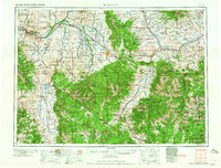 1965 Bozeman1965 Print · USGSSouthwestern Montana's river valleys and mountain ranges appear in detail during the early 1960s. Genealogists and historians can trace rail-era settlements like Trident, locate the Anceney School, and see the early footprint of Montana State College.
 - 1988 Map of Lewis Creek
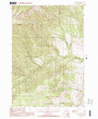 1988 Lewis Creek1988 Print · USGSGallatin National Forest was a wilderness of high basins and creek forks during the late 1980s. Local researchers can trace old mountain routes like the Pack Trail or locate remote landmarks including the Forest Service Station and Sunny Brook Spring.2 unique versions available
 - 1992 Map of Gardiner, 1993 Print
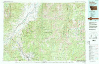 1992 Gardiner1993 Print · USGSThe northern gateway to Yellowstone and the high peaks of the Absaroka Range are captured here in the early nineties. Researchers can trace historic settlements like Jardine and Chico Hot Springs or locate the North Entrance near Gardiner.2 unique versions available
 - 2000 Map of Lewis Creek, 2005 Print
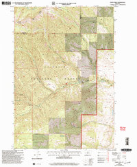 2000 Lewis Creek2005 Print · USGSGallatin and Park Counties at the turn of the millennium are defined here by high-mountain drainage basins and national forest boundaries. Researchers can trace historical surveying lines and water sources like Sunny Brook Spring, Horseshoe Basin, and Big Creek.
 - 2011 Map of Lewis Creek, 2011 Print
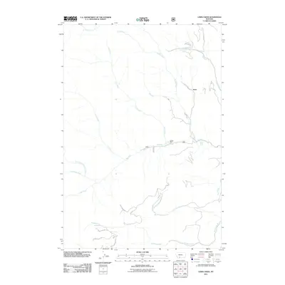 2011 Lewis Creek2011 Print · USGSSouth of the Gallatin Range in the early twenty-first century, this Montana landscape is defined by the headwaters of numerous mountain streams. Researchers can trace land use through the Ox Yoke Ranch and the settlement of Kotke, alongside natural features like Sunny Brook Spring.
 - 2014 Map of Lewis Creek, 2014 Print
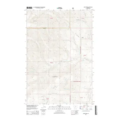 2014 Lewis Creek2014 Print · USGSThe high peaks of the Gallatin Range are captured here during the early twenty-first century, showing a landscape of deep canyons and mountain springs. Hikers and local historians can trace the paths of Hyalite Creek and Swan Creek past Kotke and Sunny Brook Spring.
 - 2017 Map of Lewis Creek, 2017 Print
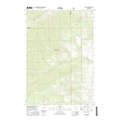 2017 Lewis Creek2017 Print · USGSThe Gallatin Range and Gallatin National Forest appear in high detail during the mid-2010s, showing the intersection of Park and Gallatin counties. Trace remote mountain hydrology and landmarks like Sunny Brook Spring, Cooper Bench, and Big Creek.
 - 2020 Map of Lewis Creek, 2020 Print
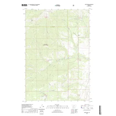 2020 Lewis Creek2020 Print · USGSThe high peaks of the Gallatin Range dominate this 2020 topographic map of the Park and Gallatin County border. Historians and outdoor researchers can trace the drainages of Lewis Creek and Big Creek or locate the settlement at Kotke.
 - 2024 Map of Lewis Creek, 2024 Print
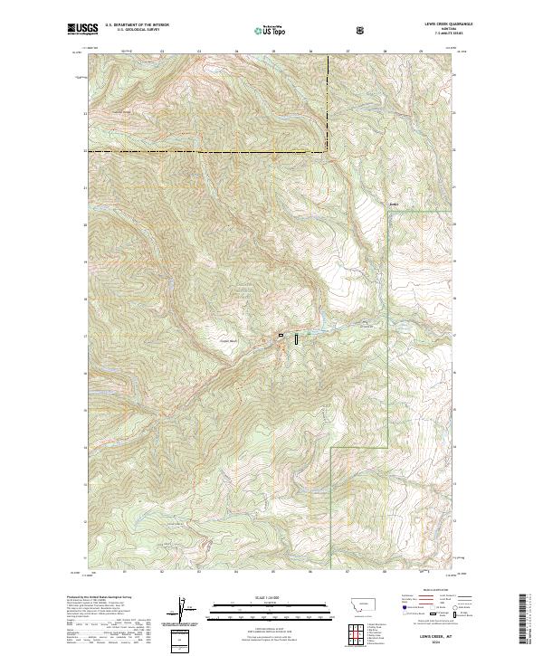 2024 Lewis Creek2024 Print · USGSThe Gallatin Range and Park County line are captured in this modern survey of the Montana wilderness. Hikers and researchers can trace backcountry routes like the Lewis Creek Trl and Cliff Creek Trl or locate the site at Kotke.
End of results
Showing maps 1-16 of 16
Frequently asked questions
- What are the different types of historical maps available for Kotke?
- What is the oldest map of Kotke?
- Where can I purchase historical maps of Kotke for my home or office?
- Where can I download high-res historical maps of Kotke?
- Are there historical topographic maps available for Kotke?
- Is there historical aerial imagery available for Kotke?
- Where are historical maps of Kotke sourced from?