
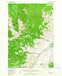
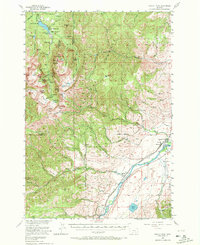
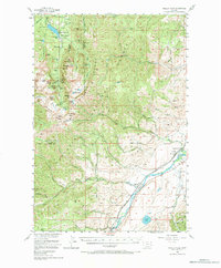
1955 Map of Fridley Peak
USGS Topo · Published 1957About this map
Northern Pacific railroad tracks parallel the Yellowstone River through the eastern corridor of this terrain, connecting small sidings and communities during the mid-1950s. The landscape is defined by the high elevations of the Gallatin National Forest, where numerous waterfalls like Grotto Falls and Palisade Falls drain from the Hyalite Ridge. Human activity is concentrated along the river valley and scattered mountain camps, including the Junior Hyalite Camp and the Ox Yoke Ranch. The presence of the Mountain View School and the now-vacant Big Creek School reflects the changing educational footprint of rural Park County. Notable landmarks such as a Historical Marker near the river and the Chisholm Cabin suggest a layer of early settlement and frontier history preserved within the timbered slopes of Fridley Peak.
Find a feature on this map
81 named features on this map. Tap any name to fly to it.
Don’t see what you’re looking for? This feature index may not catch every label — zoom into the map to look around manually.
Map Details
Editions of this 1955 Fridley Peak Map
4 editions found
Other maps of this area

1888 · Three Forks
USGS Topo · 1:250,000

1891 · Livingston
USGS Topo · 1:250,000

1893 · Livingston
USGS Topo · 1:250,000

1894 · Three Forks
USGS Topo · 1:250,000

1895 · Three Forks
USGS Topo · 1:250,000

1947 · Bozeman
USGS Topo · 1:250,000

1948 · Bozeman
USGS Topo · 1:250,000

1951 · Bozeman Pass
USGS Topo · 1:62,500

1951 · Chimney Rock
USGS Topo · 1:24,000

1953 · Bozeman
USGS Topo · 1:62,500