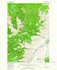
1955 Map of Fridley Peak
USGS Topo · Published 1963About this map
The Gallatin National Forest dominates this mid-century landscape, where the dramatic peaks of the Gallatin Range meet the fertile valley of the Yellowstone River. At the northern edge, the Middle Creek Dam impounds the Hyalite Reservoir, serving as a central point for early recreation and water management near the Junior Hyalite Camp. The transition from the high alpine environment of Fridley Peak and Hyalite Peak down to the river valley illustrates the area's dual character as both a protected wilderness and a ranching corridor.
Find a feature on this map
83 named features on this map. Tap any name to fly to it.
Don’t see what you’re looking for? This feature index may not catch every label — zoom into the map to look around manually.
Map Details
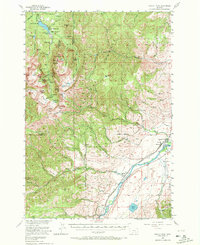
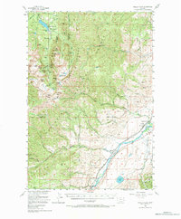
Editions of this 1955 Fridley Peak Map
4 editions found

Other maps of this area

1888 · Three Forks
USGS Topo · 1:250,000

1891 · Livingston
USGS Topo · 1:250,000

1893 · Livingston
USGS Topo · 1:250,000

1894 · Three Forks
USGS Topo · 1:250,000

1895 · Three Forks
USGS Topo · 1:250,000

1947 · Bozeman
USGS Topo · 1:250,000

1948 · Bozeman
USGS Topo · 1:250,000

1951 · Bozeman Pass
USGS Topo · 1:62,500

1951 · Chimney Rock
USGS Topo · 1:24,000

1953 · Bozeman
USGS Topo · 1:62,500