Old Maps of Sumner, Montana for Hiking & Exploration
Hike through history with 10 historic maps of Sumner. Explore old trails, ghost towns, and forgotten backroads — perfect for outdoor adventurers and local explorers.
- Rediscover forgotten places: Map out old mining camps, roads, and footpaths that no longer exist on modern maps.
- Layer with modern tools: Combine with LiDAR or satellite views to plan hikes through historical terrain.
- Made for exploration: Popular among hikers, overlanders, and local history lovers.
Use these maps to find adventure and explore the hidden past of Sumner.
Sumner, MT maps
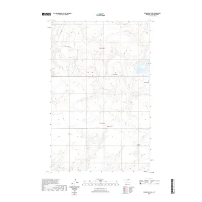
(10)- 1920 Map of Avery
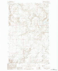
 1920 Avery1920 Print · USGSPhillips and Blaine counties appear here just after the Great War, showing the rural network of the Montana high plains along the Canadian border. Genealogists can locate early community hubs like Caldwell P.O., Turner, and rural schools such as Hubert S.H..
 - 1953 Map of Havre, 1967 Print
 1953 Havre1967 Print · USGSNorthern Montana’s Hi-Line comes into focus in the mid-fifties, centered on the Milk River and the critical Great Northern rail link. Genealogists can trace small sidings and settlements like Assinniboine, Laredo, and Box Elder alongside the Fort Belknap Agency.3 unique versions available
 - 1957 Map of Havre
 1957 Havre1957 Print · USGSNorth-central Montana at the mid-century is defined by the vital Great Northern rail corridor and the winding Milk River. Researchers can trace old settlements like Laredo and Savoy, or locate historic sites such as the Hays (old) Sub Agency and the Chinook No 1 mine.
 - 1958 Map of Havre
 1958 Havre1958 Print · USGSUpper Montana in the late fifties was a landscape of remote rail towns and vast high-plain ranges. Genealogists and historians can trace the Great Northern railroad through Havre, Chinook, and the Fort Belknap Indian Reservation.
 - 1984 Map of Horseshoe Lake
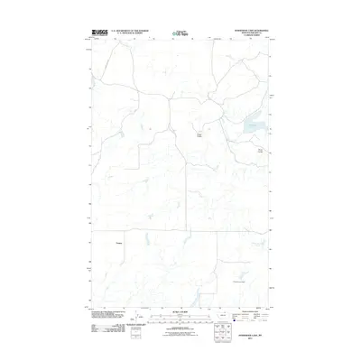
 1984 Horseshoe Lake1984 Print · USGSThe northern Montana prairie comes into focus in the mid-1980s, revealing a landscape shaped by rural agriculture and natural drainage. Researchers can trace the winding paths of Alkali Coulee and Lambing Coulee or locate isolated Storage Bins near the banks of Horseshoe Lake.
 - 2011 Map of Horseshoe Lake, 2011 Print
 2011 Horseshoe Lake2011 Print · USGSCovers Sumner, including Phillips County, United States, and other nearby areas
 - 2014 Map of Horseshoe Lake, 2014 Print
 2014 Horseshoe Lake2014 Print · USGSCovers Sumner, including Phillips County, United States, and other nearby areas
 - 2017 Map of Horseshoe Lake, 2017 Print
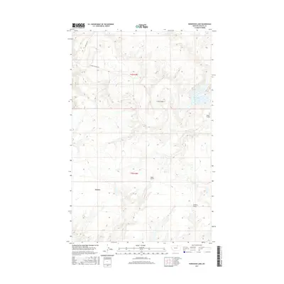 2017 Horseshoe Lake2017 Print · USGSCovers Sumner, including Phillips County, United States, and other nearby areas
 - 2020 Map of Horseshoe Lake, 2020 Print
 2020 Horseshoe Lake2020 Print · USGSCovers Sumner, including Phillips County, United States, and other nearby areas
 - 2024 Map of Horseshoe Lake, 2024 Print
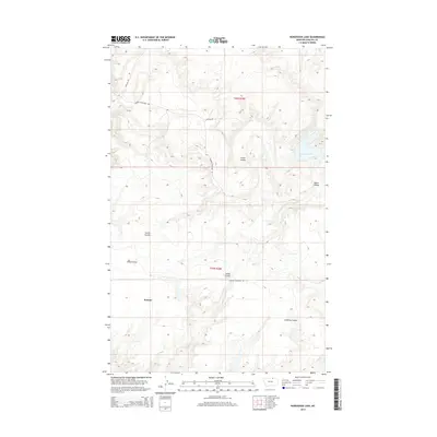
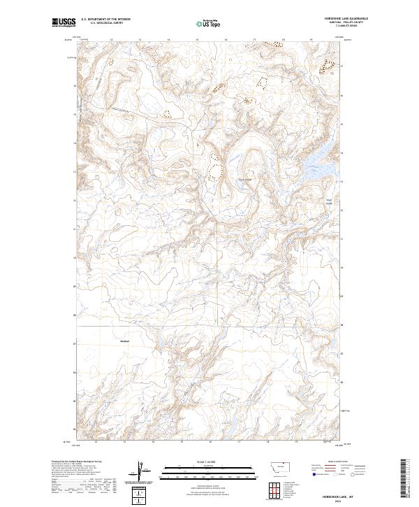 2024 Horseshoe Lake2024 Print · USGSPhillips County is captured here in the 2020s, showing a high plains landscape defined by its deep coulees and remote ranch roads. Genealogists and land researchers can locate Sumner and trace the drainage of Woody Island Coulee and Horseshoe Lake.
End of results
Showing maps 1-10 of 10
Frequently asked questions
- What are the different types of historical maps available for Sumner?
- What is the oldest map of Sumner?
- Where can I purchase historical maps of Sumner for my home or office?
- Where can I download high-res historical maps of Sumner?
- Are there historical topographic maps available for Sumner?
- Is there historical aerial imagery available for Sumner?
- Where are historical maps of Sumner sourced from?