Old Maps of Otter, Montana
Explore 11 old maps of Otter, spanning from 1954 to today. These high-resolution historic maps reveal how streets, neighborhoods, landmarks, and natural features evolved over time — perfect for genealogy, metal detecting, research, and local history exploration.
What you can do with these maps:
- See how Otter changed over time: Compare historical maps to modern-day views to trace roads, homesites, rail lines & more.
- View detailed metadata: Each map includes creators, publishers, year, scale, and archive source.
- Overlay maps with satellite & LiDAR: Visualize the past alongside modern tools to explore terrain & human change.
- Trusted historical sources: Maps sourced from the USGS, Library of Congress, and other archives.
- Access maps your way: View online, download high-res files, or order prints for personal or research use.
Start exploring old maps of Otter to uncover forgotten places, hidden landmarks, and the deep history beneath your feet.
Otter, MT maps
(11)- 1954 Map of Hardin, 1964 Print
 1954 Hardin1964 Print · USGSSoutheastern Montana is documented here during the mid-fifties, showing the vast tribal lands and historic battle sites before modern highway expansion. Researchers can trace the Chicago Burlington and Quincy rail line through Hardin or locate the Custer National Cemetery and Museum.2 unique versions available
 - 1957 Map of Hardin
 1957 Hardin1957 Print · USGSSoutheastern Montana in the mid-fifties reveals a landscape shaped by tribal lands and the historic Bighorn river valleys. Researchers can trace the Chicago Burlington and Quincy RR through Hardin and locate the National Cemetery and Custer Battlefield Monument.
 - 1958 Map of Hardin
 1958 Hardin1958 Print · USGSSoutheastern Montana in the mid-fifties presents a landscape defined by significant tribal lands and national monuments. Researchers can trace the geography of the Little Bighorn at Custer Battlefield National Monument and locate settlements like Lame Deer and Birney.
 - 1972 Map of Otter, 1976 Print
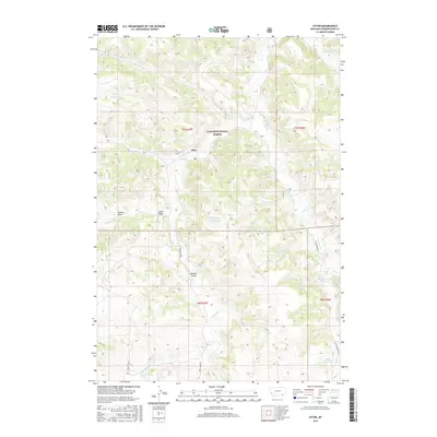
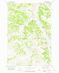 1972 Otter1976 Print · USGSPowder River County ranching and water management are on display in the early 1970s, centered on the community of Otter. Genealogists and historians can trace livestock water sources and remote landmarks like Lost Creek Reservoir and Happy Coulee Reservoir.2 unique versions available
 - 1980 Map of Birney
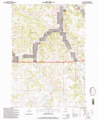
 1980 Birney1980 Print · USGSSoutheastern Montana enters a period of intensive energy development in the early 1980s as coal mines expand across the Big Horn County line. Researchers can trace the industrial footprints of the Spring Creek Mine and West Decker Mine or locate rural landmarks like the Birney Day School.
 - 1995 Map of Otter, 1998 Print
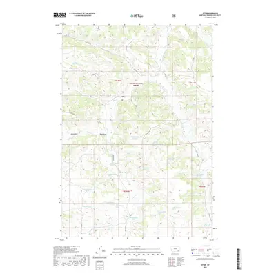
 1995 Otter1998 Print · USGSPowder River County in the mid-1990s reveals a ranching and forestry landscape defined by its vital water sources. Researchers can trace land use through numerous named stock ponds like Happy Coulee Reservoir and Fletcher Reservoir, or locate landmarks such as Hoover Draw.
 - 2011 Map of Otter, 2011 Print
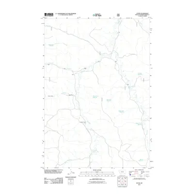 2011 Otter2011 Print · USGSCovers Otter, including Powder River County, United States, and other nearby areas
 - 2014 Map of Otter, 2014 Print
 2014 Otter2014 Print · USGSCovers Otter, including Powder River County, United States, and other nearby areas
 - 2017 Map of Otter, 2017 Print
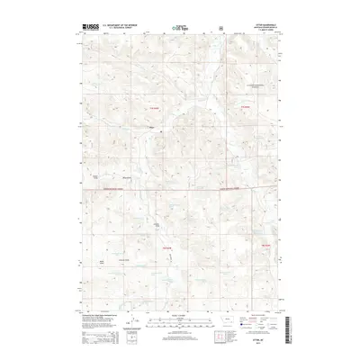
 2017 Otter2017 Print · USGSCovers Otter, including Powder River County, United States, and other nearby areas
 - 2020 Map of Otter, 2020 Print
 2020 Otter2020 Print · USGSCovers Otter, including Powder River County, United States, and other nearby areas
 - 2024 Map of Otter, 2024 Print
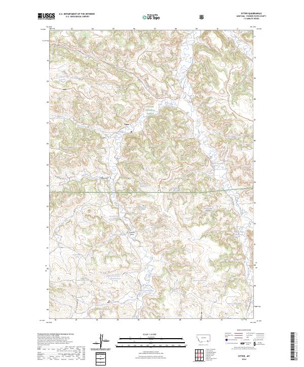 2024 Otter2024 Print · USGSPowder River County ranchlands and forest tracts are mapped here as they appear today, centering on the small settlement of Otter. Researchers can trace vital water sources and access routes like Bear Creek Rd, Lost Creek Reservoir, and Tooley Divide.
End of results
Showing maps 1-11 of 11
Frequently asked questions
- What are the different types of historical maps available for Otter?
- What is the oldest map of Otter?
- Where can I purchase historical maps of Otter for my home or office?
- Where can I download high-res historical maps of Otter?
- Are there historical topographic maps available for Otter?
- Is there historical aerial imagery available for Otter?
- Where are historical maps of Otter sourced from?