Old Maps of Stacey, Montana for Academic Research
Study the evolution of Stacey with 11 high-resolution historic maps. Whether you're teaching, researching, or modeling changes in land use, these maps provide essential visual documentation of urban, environmental, and geographic change.
- Analyze long-term change: Track patterns in development, transportation, and natural features.
- Ideal for environmental or urban studies: Support academic projects with primary historical map data.
- Use in the classroom or lab: Educators and researchers rely on these maps to bring historical context to life.
These maps are a powerful tool for teaching, research, and visualizing how Stacey has changed over the decades.
Stacey, MT maps
(11)- 1954 Map of Ekalaka, 1966 Print
 1954 Ekalaka1966 Print · USGSSoutheastern Montana and its borderlands with the Dakotas and Wyoming appear here in the mid-fifties, showing a remote ranching landscape. Genealogists can trace family roots through numerous rural landmarks like the Sherwin School, St Marys Ch, and Powderville.3 unique versions available
 - 1956 Map of Ekalaka
 1956 Ekalaka1956 Print · USGSSoutheast Montana and the Wyoming borderlands are shown here in the mid-fifties, capturing a landscape of remote ranching outposts and isolated country schools. Genealogists can trace family roots through landmarks like Boyes, Alzada, and Peabody School.
 - 1958 Map of Ekalaka
 1958 Ekalaka1958 Print · USGSSoutheast Montana in the mid-fifties remains a landscape of isolated ranching outposts and scattered schoolhouses. Genealogists and researchers can trace rural life through landmarks like Belltower, the McClary Ranger Station, and numerous family-named schools such as Davidson School.
 - 1965 Map of Ekalaka
 1965 Ekalaka1965 Print · USGSThe High Plains of Montana and Wyoming appear here in the mid-1950s, as a sprawling landscape of remote ranchlands and rural school districts. Researchers can trace the locations of many small landmarks like Mitchell School, Broadus, and the Humbolt Hills.
 - 1966 Map of Stacey, 1969 Print
 1966 Stacey1969 Print · USGSPowder River County is shown here in the 1960s, documenting a landscape of federal forest lands and small-scale ranching. Genealogists can trace the rural community near Stacey, while researchers can locate the South Stacey Sch and the Whitetail Ranger Sta.2 unique versions available
 - 1995 Map of Stacey, 1998 Print
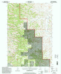 1995 Stacey1998 Print · USGSPowder River County ranching and forest lands are captured in detail during the late twentieth century. Researchers can locate remote landmarks like the South Stacey School, Whitetail Cabin, and the fire lookout atop Liscom Butte.
 - 2011 Map of Stacey, 2011 Print
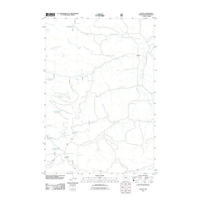 2011 Stacey2011 Print · USGSPowder River County ranchlands are documented here during the early twenty-first century, showing a remote landscape of schools and springs. Researchers can trace local education and water sources through Stacey School, Holiday Campground, and Horse Pasture Reservoir.
 - 2014 Map of Stacey, 2014 Print
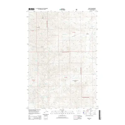 2014 Stacey2014 Print · USGSThe ranching country of Powder River County is documented here during the early 21st century, centered on the small settlement of Stacey. Researchers can trace the water sources vital to this area, from Liscom Butte Spring to the scattered Sheep Cr Reservoir and Oil Well Reservoir.
 - 2017 Map of Stacey, 2017 Print
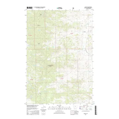 2017 Stacey2017 Print · USGSPowder River County ranchlands and forest tracts are documented here in the early twenty-first century. Researchers can trace the water-rights history of the region through numerous named landmarks like Horse Pasture Reservoir, Split Rock Spring, and Oil Well Reservoir.
 - 2020 Map of Stacey, 2020 Print
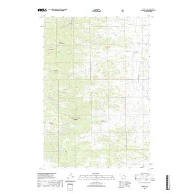 2020 Stacey2020 Print · USGSStacey and the surrounding Powder River County uplands appear in this modern survey of Montana's high plains and timberlands. Local historians can trace water rights and land use through features like Horse Pasture Reservoir, Liscom Butte, and the Custer National Forest.
 - 2024 Map of Stacey, 2024 Print
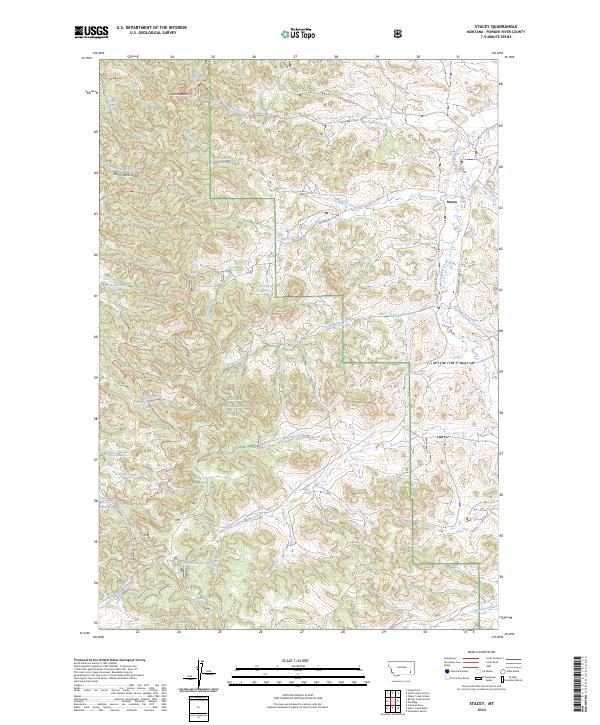 2024 Stacey2024 Print · USGSPowder River County ranching and forest lands are detailed here in the 2020s, centered on the settlement of Stacey. Researchers can locate historic rural education sites like North Stacey School and Beaver Creek School alongside landmarks such as Samuelson Ranch.
End of results
Showing maps 1-11 of 11
Frequently asked questions
- What are the different types of historical maps available for Stacey?
- What is the oldest map of Stacey?
- Where can I purchase historical maps of Stacey for my home or office?
- Where can I download high-res historical maps of Stacey?
- Are there historical topographic maps available for Stacey?
- Is there historical aerial imagery available for Stacey?
- Where are historical maps of Stacey sourced from?