Old Maps of Culbertson, Montana for Genealogy
Trace your family roots with 15 historic maps of Culbertson. These high-res maps reveal old neighborhoods, homesites, landmarks, and streets — helping you uncover where your ancestors lived and how the area evolved over time.
- Explore historic neighborhoods: Identify where your relatives may have lived in the 1800s or 1900s.
- Compare maps over time: Trace the changes in streets, buildings, and landmarks for multi-generational research.
- Perfect for genealogy & ancestry research: Used by family historians and researchers to map out lineage and migration.
These maps are an incredible resource for exploring your personal connection to Culbertson's past.
Culbertson, MT maps
(15)- 1954 Map of Wolf Point, 1967 Print
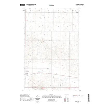
 1954 Wolf Point1967 Print · USGSNortheastern Montana and the North Dakota borderlands are shown here in the mid-fifties, dominated by the Missouri River and the Fort Peck Indian Reservation. Genealogists and historians can trace the Great Northern rail line through river towns like Poplar and Culbertson or locate northern border outposts like the U S Custom Office at Raymond.2 unique versions available
 - 1958 Map of Wolf Point
 1958 Wolf Point1958 Print · USGSNortheastern Montana is shown during the mid-fifties, featuring the extensive Fort Peck Indian Reservation and the Missouri River valley. Researchers can trace the Great Northern railroad through Wolf Point or locate sites like Slab Crossing and the Coal Mine near Medicine Lake.
 - 1969 Map of Culbertson, 1973 Print
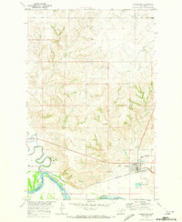 1969 Culbertson1973 Print · USGSCulbertson and the Missouri River bottomlands are captured here in the late sixties as the regional rail and ranching economy thrived. Researchers can find Hillside Cem, the historic Burlington Northern line, and the local Rodeo Ground.2 unique versions available
 - 1982 Map of Culbertson, 1983 Print
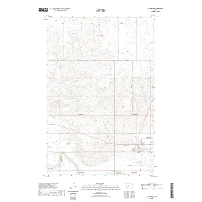
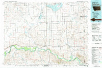 1982 Culbertson1983 Print · USGSNortheastern Montana at the start of the 1980s reveals a high-plains landscape defined by the Missouri River and the rail lines that served its valley. Genealogists and researchers can trace the townships surrounding Culbertson, Bainville, and the Fort Union Trading Post.
 - 1983 Map of Mc Cabe West, 1984 Print
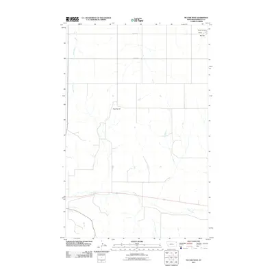
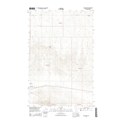
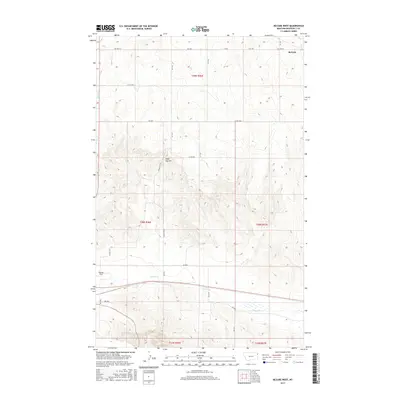
 1983 Mc Cabe West1984 Print · USGSRoosevelt County's high plains are captured here in the late seventies, showing a landscape defined by the railroad and local industry. Genealogists and local historians can trace the Burlington Northern line and locate sites like Mc Cabe and the Ebenezer Ch.
 - 2011 Map of McCabe West, 2011 Print
 2011 McCabe West2011 Print · USGSCovers Culbertson, including McCabe, Roosevelt County, and other nearby areas
 - 2011 Map of Culbertson, 2011 Print
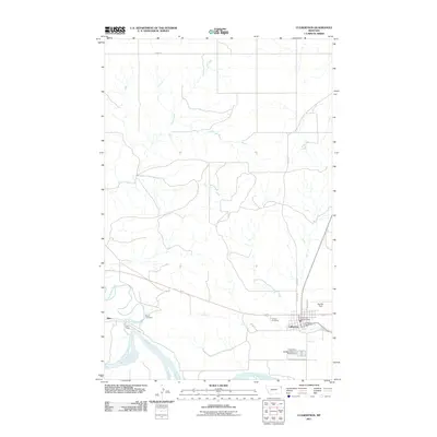 2011 Culbertson2011 Print · USGSCovers Culbertson, including Fort Kipp District, Averill, and other nearby areas
 - 2014 Map of McCabe West, 2014 Print
 2014 McCabe West2014 Print · USGSCovers Culbertson, including McCabe, Roosevelt County, and other nearby areas
 - 2014 Map of Culbertson, 2014 Print
 2014 Culbertson2014 Print · USGSCovers Culbertson, including Fort Kipp District, Averill, and other nearby areas
 - 2017 Map of Culbertson, 2017 Print
 2017 Culbertson2017 Print · USGSCovers Culbertson, including Fort Kipp District, Averill, and other nearby areas
 - 2017 Map of McCabe West, 2017 Print
 2017 McCabe West2017 Print · USGSCovers Culbertson, including McCabe, Roosevelt County, and other nearby areas
 - 2020 Map of McCabe West, 2020 Print
 2020 McCabe West2020 Print · USGSCovers Culbertson, including McCabe, Roosevelt County, and other nearby areas
 - 2020 Map of Culbertson, 2020 Print
 2020 Culbertson2020 Print · USGSCovers Culbertson, including Fort Kipp District, Averill, and other nearby areas
 - 2024 Map of Culbertson, 2024 Print
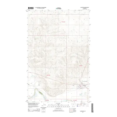
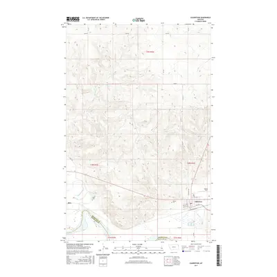
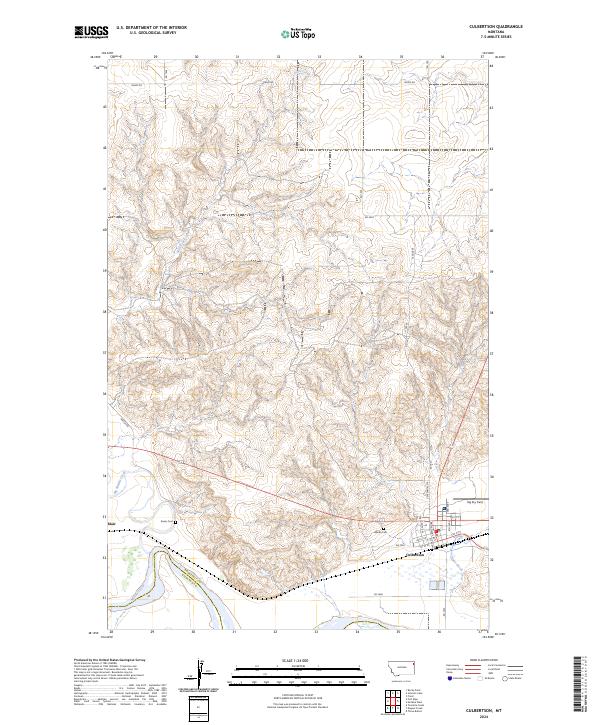 2024 Culbertson2024 Print · USGSNortheastern Montana’s river breaks and prairie highlands are captured here in the 2020s as the Missouri River winds along the Roosevelt and Richland county line. Genealogists can locate Hillside Cem and Bauer Cem near the settlements of Culbertson and Blair.
 - 2024 Map of McCabe West, 2024 Print
 2024 McCabe West2024 Print · USGSEastern Montana’s high plains are mapped here in the modern era, showing the resilient rural layout of Roosevelt County. Genealogists and historians can locate Ebenezer Lutheran Church, the local Cem, and landmarks like Big Sky Field or Sugar Top Hill.
End of results
Showing maps 1-15 of 15
Top cities near Culbertson
Top neighborhoods of Culbertson
Frequently asked questions
- What are the different types of historical maps available for Culbertson?
- What is the oldest map of Culbertson?
- Where can I purchase historical maps of Culbertson for my home or office?
- Where can I download high-res historical maps of Culbertson?
- Are there historical topographic maps available for Culbertson?
- Is there historical aerial imagery available for Culbertson?
- Where are historical maps of Culbertson sourced from?