Old Maps of Roosevelt County, Montana
Explore 101 old maps of Roosevelt County, spanning from 1909 to today. These high-resolution historic maps reveal how streets, neighborhoods, landmarks, and natural features evolved over time — perfect for genealogy, metal detecting, research, and local history exploration.
What you can do with these maps:
- See how Roosevelt County changed over time: Compare historical maps to modern-day views to trace roads, homesites, rail lines & more.
- View detailed metadata: Each map includes creators, publishers, year, scale, and archive source.
- Overlay maps with satellite & LiDAR: Visualize the past alongside modern tools to explore terrain & human change.
- Trusted historical sources: Maps sourced from the USGS, Library of Congress, and other archives.
- Access maps your way: View online, download high-res files, or order prints for personal or research use.
Start exploring old maps of Roosevelt County to uncover forgotten places, hidden landmarks, and the deep history beneath your feet.
Roosevelt County, MT maps
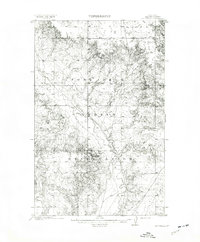
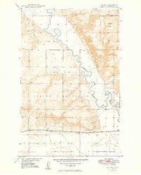
(101)- 1909 Map of Glendive
 1909 Glendive1909 Print · USGSCovers Roosevelt County, including Sidney, Glendive, and other nearby areas
 - 1909 Map of Smoke Creek, 1964 Print
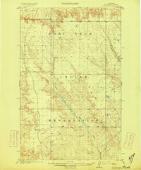
 1909 Smoke Creek1964 Print · USGSCovers Roosevelt County, including Brockton District, Fort Kipp District, and other nearby areas
 - 1910 Map of Todd Lakes, 1975 Print
 1910 Todd Lakes1975 Print · USGSCovers Roosevelt County, including Wolf Point District, Frazer District, and other nearby areas2 unique versions available
 - 1910 Map of Cuskers, 1975 Print
 1910 Cuskers1975 Print · USGSCovers Roosevelt County, including Wolf Point District, Poplar District, and other nearby areas2 unique versions available
 - 1912 Map of Chelsea
 1912 Chelsea1912 Print · USGSCovers Roosevelt County, including Wolf Point District, Poplar District, and other nearby areas2 unique versions available
 - 1912 Map of Hay Creek
 1912 Hay Creek1912 Print · USGSCovers Roosevelt County, including Poplar District, Brockton District, and other nearby areas2 unique versions available
 - 1912 Map of Poplar
 1912 Poplar1912 Print · USGSCovers Roosevelt County, including Poplar, Poplar District, and other nearby areas
 - 1912 Map of Smoke Creek
 1912 Smoke Creek1912 Print · USGSCovers Roosevelt County, including Brockton District, Fort Kipp District, and other nearby areas
 - 1914 Map of Brockton
 1914 Brockton1914 Print · USGSCovers Roosevelt County, including Brockton, Brockton District, and other nearby areas3 unique versions available
 - 1914 Map of Homestead
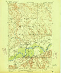
 1914 Homestead1914 Print · USGSCovers Roosevelt County, including Medicine Lake, Fort Kipp District, and other nearby areas
 - 1915 Map of Tule Valley
 1915 Tule Valley1915 Print · USGSCovers Roosevelt County, including Wolf Point District, Volt, and other nearby areas2 unique versions available
 - 1915 Map of Oswego
 1915 Oswego1915 Print · USGSCovers Roosevelt County, including Wolf Point District, Prairie Elk Hutterite Colony, and other nearby areas2 unique versions available
 - 1915 Map of Cuskers
 1915 Cuskers1915 Print · USGSCovers Roosevelt County, including Wolf Point District, Poplar District, and other nearby areas
 - 1915 Map of Todd Lakes
 1915 Todd Lakes1915 Print · USGSCovers Roosevelt County, including Wolf Point District, Frazer District, and other nearby areas
 - 1916 Map of Wolf Point
 1916 Wolf Point1916 Print · USGSCovers Roosevelt County, including Wolf Point District, Wolf Point, and other nearby areas2 unique versions available
 - 1947 Map of Rocky Point, 1976 Print
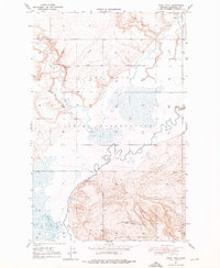 1947 Rocky Point1976 Print · USGSCovers Roosevelt County, including Fort Kipp District, Slab Crossing, and other nearby areas2 unique versions available
 - 1947 Map of Capeneys Lake, 1989 Print
 1947 Capeneys Lake1989 Print · USGSCovers Roosevelt County, including Sheridan County, United States, and other nearby areas
 - 1947 Map of Homestead, 1989 Print
 1947 Homestead1989 Print · USGSCovers Roosevelt County, including Medicine Lake, Fort Kipp District, and other nearby areas
 - 1948 Map of Homestead
 1948 Homestead1948 Print · USGSCovers Roosevelt County, including Medicine Lake, Fort Kipp District, and other nearby areas2 unique versions available
 - 1948 Map of Capeneys Lake
 1948 Capeneys Lake1948 Print · USGSCovers Roosevelt County, including Sheridan County, United States, and other nearby areas2 unique versions available
 - 1948 Map of Rocky Point
 1948 Rocky Point1948 Print · USGSCovers Roosevelt County, including Fort Kipp District, Slab Crossing, and other nearby areas
 - 1948 Map of Sunnyhill School, 1976 Print
 1948 Sunnyhill School1976 Print · USGSCovers Roosevelt County, including Sheridan County, United States, and other nearby areas
 - 1948 Map of Medicine Lake, 1976 Print
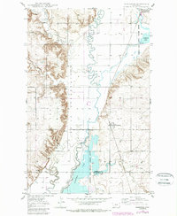
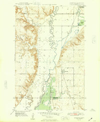
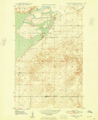
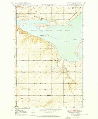 1948 Medicine Lake1976 Print · USGSCovers Roosevelt County, including Medicine Lake, Sheridan County, and other nearby areas3 unique versions available
 - 1948 Map of Fort Kipp, 1989 Print
 1948 Fort Kipp1989 Print · USGSCovers Roosevelt County, including Fort Kipp District, Fort Kipp, and other nearby areas
 - 1949 Map of Fort Kipp
 1949 Fort Kipp1949 Print · USGSCovers Roosevelt County, including Fort Kipp District, Fort Kipp, and other nearby areas2 unique versions available
Showing maps 1-25 of 101
Top cities of Roosevelt County
- Wolf Point District historical maps
- Poplar District historical maps
- Culbertson historical maps
- Brockton District historical maps
- Froid historical maps
- Bainville historical maps
Frequently asked questions
- What are the different types of historical maps available for Roosevelt County?
- What is the oldest map of Roosevelt County?
- Where can I purchase historical maps of Roosevelt County for my home or office?
- Where can I download high-res historical maps of Roosevelt County?
- Are there historical topographic maps available for Roosevelt County?
- Is there historical aerial imagery available for Roosevelt County?
- Where are historical maps of Roosevelt County sourced from?