Old Maps of Forsyth, Montana for Hiking & Exploration
Hike through history with 11 historic maps of Forsyth. Explore old trails, ghost towns, and forgotten backroads — perfect for outdoor adventurers and local explorers.
- Rediscover forgotten places: Map out old mining camps, roads, and footpaths that no longer exist on modern maps.
- Layer with modern tools: Combine with LiDAR or satellite views to plan hikes through historical terrain.
- Made for exploration: Popular among hikers, overlanders, and local history lovers.
Use these maps to find adventure and explore the hidden past of Forsyth.
Forsyth, MT maps
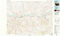
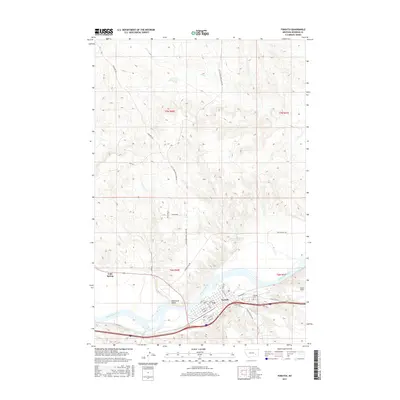
(11)- 1954 Map of Forsyth, 1966 Print
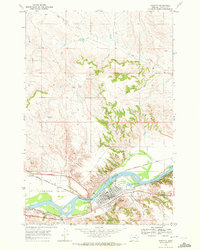
 1954 Forsyth1966 Print · USGSThe Yellowstone River valley and the northern high plains are captured here in the mid-1950s during a period of expanding energy and rail infrastructure. Genealogists and historians can trace rail sidings and cattle-country outposts like Ingomar, Vananda, and Angela.3 unique versions available
 - 1957 Map of Forsyth
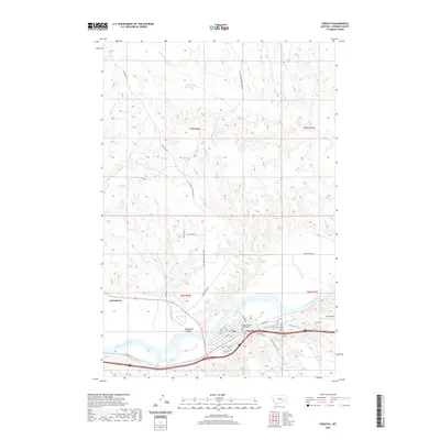
 1957 Forsyth1957 Print · USGSSouth-central Montana in the late fifties is captured here through its dual-river geography and emergent energy economy. Researchers can trace the path of the Northern Pacific through Forsyth, locate the Ragged Point Oil Field, and find early sidings like Ahles Siding.
 - 1958 Map of Forsyth
 1958 Forsyth1958 Print · USGSMid-century Montana comes alive along the Yellowstone River and the competing transcontinental rail lines. Local historians can trace the legacy of the Northern Pacific through Forsyth or explore early oil developments at the Ragged Point Oil Field.
 - 1968 Map of Forsyth, 1972 Print
 1968 Forsyth1972 Print · USGSForsyth thrived as a busy river and rail corridor in the late sixties, where the Yellowstone River meets a network of major western railroads. Genealogists and historians can trace the town's footprint through the Forsyth Cem, the Fairground, and the Cartersville Canal.2 unique versions available
 - 1979 Map of Forsyth
 1979 Forsyth1979 Print · USGSThe Yellowstone River valley is captured here in the late seventies, showing a landscape defined by competing rail lines and riverside towns. Researchers can trace the routes of the Burlington Northern, locate the Rosebud State Rec Area, or find old outposts like Hathaway and Sheffield.
 - 1983 Map of Forsyth
 1983 Forsyth1983 Print · USGSEastern Montana's high plains and river valleys come into focus in the early eighties as the rail-and-ranching economy centered on the Yellowstone River. Researchers can trace the development of small rail towns like Hysham, Angela, and Ingomar alongside the Burlington Northern line.
 - 2011 Map of Forsyth, 2011 Print
 2011 Forsyth2011 Print · USGSCovers Forsyth, including Rosebud County, United States, and other nearby areas
 - 2014 Map of Forsyth, 2014 Print
 2014 Forsyth2014 Print · USGSCovers Forsyth, including Rosebud County, United States, and other nearby areas
 - 2017 Map of Forsyth, 2017 Print
 2017 Forsyth2017 Print · USGSCovers Forsyth, including Rosebud County, United States, and other nearby areas
 - 2020 Map of Forsyth, 2020 Print
 2020 Forsyth2020 Print · USGSCovers Forsyth, including Rosebud County, United States, and other nearby areas
 - 2024 Map of Forsyth, 2024 Print
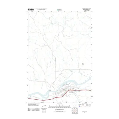
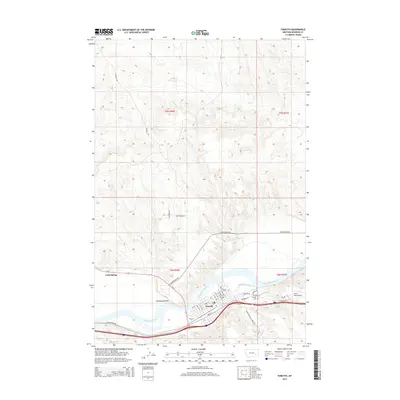
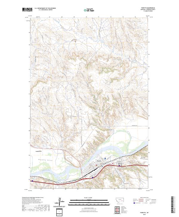 2024 Forsyth2024 Print · USGSThe Yellowstone River valley and the county seat of Forsyth are documented here in a detailed modern survey of this Montana landscape. Researchers can trace local landmarks and topography, from the Rosebud County Courthouse to Tillitt Field and the waters of Cold Spring.
End of results
Showing maps 1-11 of 11
Frequently asked questions
- What are the different types of historical maps available for Forsyth?
- What is the oldest map of Forsyth?
- Where can I purchase historical maps of Forsyth for my home or office?
- Where can I download high-res historical maps of Forsyth?
- Are there historical topographic maps available for Forsyth?
- Is there historical aerial imagery available for Forsyth?
- Where are historical maps of Forsyth sourced from?