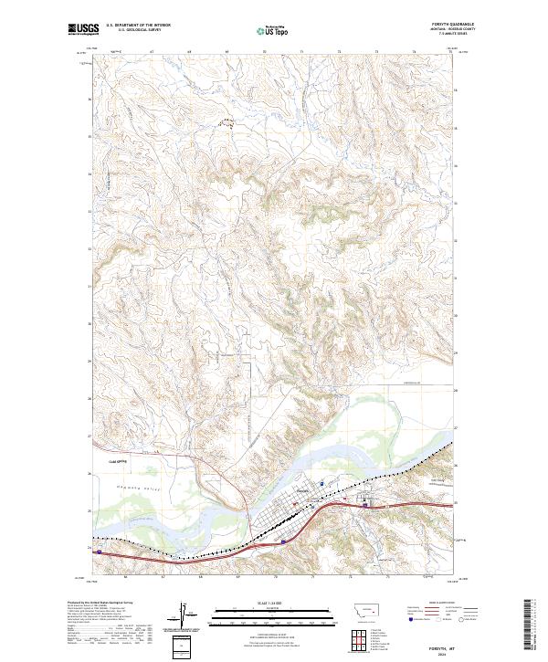
2024 Map of Forsyth
USGS Topo · Published 2024About this map
Forsyth sits along the southern bank of the Yellowstone River, serving as a vital focal point for transportation and local governance in Rosebud County. The town's grid is anchored by the Rosebud County Courthouse and extends toward the river, with prominent local infrastructure like the Forsyth Cem and the Tillitt Field landing strip defining its eastern perimeter. To the north and west, the landscape transitions into the dissected drainages of McGraw Coulee and Hammond Valley, where the terrain rises toward Wild Ridge. This contemporary survey details a complex network of rural access roads, such as Little Porcupine Creek Rd and Gerhardt Rd, which connect the upland coulees to the river valley. Notable hydrological features like Cold Spring and several seasonal drainages, including Short Creek and Slaughterhouse Creek, illustrate the natural irrigation and drainage patterns that have historically shaped ranching and settlement in this section of the Yellowstone valley.
Find a feature on this map
40 named features on this map. Tap any name to fly to it.
Don’t see what you’re looking for? This feature index may not catch every label — zoom into the map to look around manually.
Map Details
Editions of this 2024 Forsyth Map
This is the sole edition of this map. No revisions or reprints were ever made.
Other maps of this area

1954 · Forsyth
USGS Topo · 1:250,000

1957 · Forsyth
USGS Topo · 1:250,000

1958 · Forsyth
USGS Topo · 1:250,000

1968 · Orinoco
USGS Topo · 1:24,000

1968 · Nichols
USGS Topo · 1:24,000

1968 · Forsyth
USGS Topo · 1:24,000

1968 · Schultz Coulee
USGS Topo · 1:24,000

1968 · Finch NE
USGS Topo · 1:24,000

1968 · Black Coulee
USGS Topo · 1:24,000

1971 · Griffin Coulee NE
USGS Topo · 1:24,000