
1968 Map of Black Coulee
USGS Topo · Published 1972About this map
Little Porcupine Creek and Stellar Creek define the drainage patterns of this Rosebud County landscape as it appeared in the late 1960s. The terrain is marked by significant hydrological management, evidenced by the presence of the Hay Creek Reservoir, Corny Coulee Reservoir, and Black Coulee Reservoir. These man-made features suggest a ranching or agricultural economy reliant on captured runoff in a territory where seasonal water flow is critical.
Find a feature on this map
15 named features on this map. Tap any name to fly to it.
Don’t see what you’re looking for? This feature index may not catch every label — zoom into the map to look around manually.
Map Details
Editions of this 1968 Black Coulee Map
This is the sole edition of this map. No revisions or reprints were ever made.
Other maps of this area

1954 · Forsyth
USGS Topo · 1:250,000

1957 · Forsyth
USGS Topo · 1:250,000

1958 · Forsyth
USGS Topo · 1:250,000

1968 · Orinoco
USGS Topo · 1:24,000

1968 · Nichols
USGS Topo · 1:24,000

1968 · Forsyth
USGS Topo · 1:24,000

1968 · Schultz Coulee
USGS Topo · 1:24,000

1968 · Finch NE
USGS Topo · 1:24,000
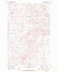
1969 · Rough Creek SE
USGS Topo · 1:24,000
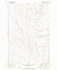
1969 · Rough Creek SW
USGS Topo · 1:24,000