
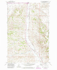
1971 Map of Griffin Coulee NE
USGS Topo · Published 1974About this map
Armells Creek carves a central path through this Rosebud County landscape, serving as a primary drainage corridor for the surrounding drainages. The Burlington Northern railroad runs parallel to the creek, reflecting a classic Western development pattern where industrial infrastructure follows the natural low-gradient routes through otherwise complex terrain. This 1971-checked survey reveals a sparsely populated area defined by physical landmarks rather than towns, with specialized activity indicated by a Gravel Pit and scattered Drill Hole locations.
Find a feature on this map
11 named features on this map. Tap any name to fly to it.
Don’t see what you’re looking for? This feature index may not catch every label — zoom into the map to look around manually.
Map Details
Editions of this 1971 Griffin Coulee NE Map
2 editions found
Other maps of this area

1954 · Forsyth
USGS Topo · 1:250,000

1957 · Forsyth
USGS Topo · 1:250,000

1958 · Forsyth
USGS Topo · 1:250,000

1968 · Nichols
USGS Topo · 1:24,000

1968 · Forsyth
USGS Topo · 1:24,000

1968 · Finch
USGS Topo · 1:24,000

1971 · Griffin Coulee SW
USGS Topo · 1:24,000
1971 · Smith Creek
USGS Topo · 1:24,000
1971 · Sheep Creek Camp
USGS Topo · 1:24,000
1971 · Griffin Coulee
USGS Topo · 1:24,000