Old Maps of Thurlow, Montana for Metal Detecting
Plan your next treasure hunt with 11 historic maps of Thurlow. Find old homesites, ghost towns, trails, and gathering spots that may be lost to time — perfect for identifying promising metal detecting locations.
- Locate forgotten sites: Uncover places like long-lost settlements, abandoned rail lines, or gathering spots.
- Plan better hunts: Use map overlays combined with LiDAR or satellite views to narrow in on historically rich areas.
- Made for detectorists: Thousands of hobbyists use these maps to discover relics, coins, and hidden history.
Use these historic maps to boost your research and find new opportunities beneath the surface of Thurlow.
Thurlow, MT maps
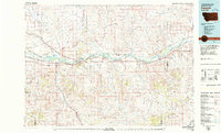
(11)- 1954 Map of Forsyth, 1966 Print
 1954 Forsyth1966 Print · USGSThe Yellowstone River valley and the northern high plains are captured here in the mid-1950s during a period of expanding energy and rail infrastructure. Genealogists and historians can trace rail sidings and cattle-country outposts like Ingomar, Vananda, and Angela.3 unique versions available
 - 1957 Map of Forsyth
 1957 Forsyth1957 Print · USGSSouth-central Montana in the late fifties is captured here through its dual-river geography and emergent energy economy. Researchers can trace the path of the Northern Pacific through Forsyth, locate the Ragged Point Oil Field, and find early sidings like Ahles Siding.
 - 1958 Map of Forsyth
 1958 Forsyth1958 Print · USGSMid-century Montana comes alive along the Yellowstone River and the competing transcontinental rail lines. Local historians can trace the legacy of the Northern Pacific through Forsyth or explore early oil developments at the Ragged Point Oil Field.
 - 1968 Map of Thurlow, 1972 Print
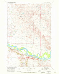 1968 Thurlow1972 Print · USGSThe Yellowstone River valley in the late sixties reveals a critical transport hub where historic trails and modern rails converge. Researchers can trace the Lewis and Clark Trail alongside the Chicago Milwaukee St Paul and Pacific railroad and the remote outpost of Thurlow.2 unique versions available
 - 1979 Map of Forsyth
 1979 Forsyth1979 Print · USGSThe Yellowstone River valley is captured here in the late seventies, showing a landscape defined by competing rail lines and riverside towns. Researchers can trace the routes of the Burlington Northern, locate the Rosebud State Rec Area, or find old outposts like Hathaway and Sheffield.
 - 1983 Map of Forsyth
 1983 Forsyth1983 Print · USGSEastern Montana's high plains and river valleys come into focus in the early eighties as the rail-and-ranching economy centered on the Yellowstone River. Researchers can trace the development of small rail towns like Hysham, Angela, and Ingomar alongside the Burlington Northern line.
 - 2011 Map of Thurlow, 2011 Print
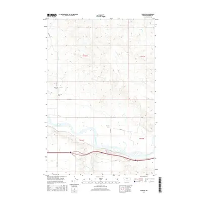
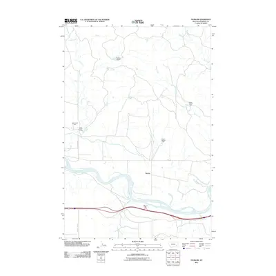 2011 Thurlow2011 Print · USGSCovers Thurlow, including Rosebud County, United States, and other nearby areas
 - 2014 Map of Thurlow, 2014 Print
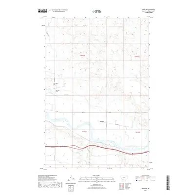
 2014 Thurlow2014 Print · USGSCovers Thurlow, including Rosebud County, United States, and other nearby areas
 - 2017 Map of Thurlow, 2017 Print
 2017 Thurlow2017 Print · USGSCovers Thurlow, including Rosebud County, United States, and other nearby areas
 - 2020 Map of Thurlow, 2020 Print
 2020 Thurlow2020 Print · USGSCovers Thurlow, including Rosebud County, United States, and other nearby areas
 - 2024 Map of Thurlow, 2024 Print
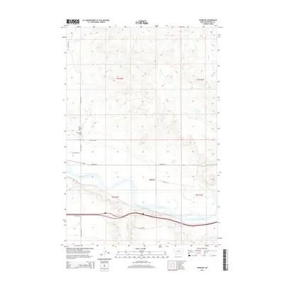
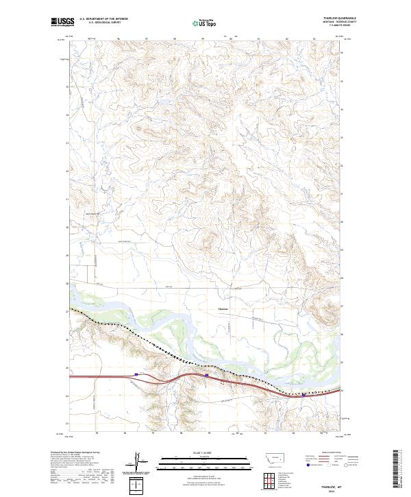 2024 Thurlow2024 Print · USGSThe Yellowstone River valley in Rosebud County comes into focus in this contemporary survey of the Montana prairie. Genealogists and local historians can trace the rural landscape around Thurlow and identify landmarks like Jack Creek Hill and Old Us Hwy 10.
End of results
Showing maps 1-11 of 11
Frequently asked questions
- What are the different types of historical maps available for Thurlow?
- What is the oldest map of Thurlow?
- Where can I purchase historical maps of Thurlow for my home or office?
- Where can I download high-res historical maps of Thurlow?
- Are there historical topographic maps available for Thurlow?
- Is there historical aerial imagery available for Thurlow?
- Where are historical maps of Thurlow sourced from?