Old Maps of Dixon, Montana for Metal Detecting
Plan your next treasure hunt with 9 historic maps of Dixon. Find old homesites, ghost towns, trails, and gathering spots that may be lost to time — perfect for identifying promising metal detecting locations.
- Locate forgotten sites: Uncover places like long-lost settlements, abandoned rail lines, or gathering spots.
- Plan better hunts: Use map overlays combined with LiDAR or satellite views to narrow in on historically rich areas.
- Made for detectorists: Thousands of hobbyists use these maps to discover relics, coins, and hidden history.
Use these historic maps to boost your research and find new opportunities beneath the surface of Dixon.
Dixon, MT maps
(9)- 1956 Map of Wallace, 1966 Print
 1956 Wallace1966 Print · USGSWestern Montana and the Idaho panhandle meet in this mid-century survey of the Bitterroot and Cabinet Mountains. Genealogists and historians can trace the rail-and-river economy through the Northern Pacific line and settlements like Thompson Falls or St. Ignatius.3 unique versions available
 - 1960 Map of Wallace
 1960 Wallace1960 Print · USGSNorthwestern Montana and the Idaho panhandle are captured in the late fifties, showing the vast Flathead Indian Reservation and the mining districts of the Bitterroot Range. Researchers can trace the rail lines of the Northern Pacific or locate early sites like the Morning Mine and the National Bison Range.
 - 1964 Map of Dixon, 1966 Print
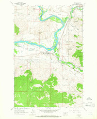 1964 Dixon1966 Print · USGSThe Flathead and Jocko rivers meet in this 1960s survey of the Sanders and Lake County line. Researchers can trace the mid-century rail-and-water economy through features like the Northern Pacific railroad, Dixon Indian Chapel, and the National Bison Range.
 - 1987 Map of Dixon
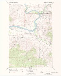 1987 Dixon1987 Print · USGSThe Flathead Indian Reservation in the late twentieth century reveals a landscape defined by river confluences and complex irrigation networks. Local historians can trace the paths of the Northern Pacific railroad through Dixon and locate the Dixon Indian Chapel and Moiese.
 - 2011 Map of Dixon, 2011 Print
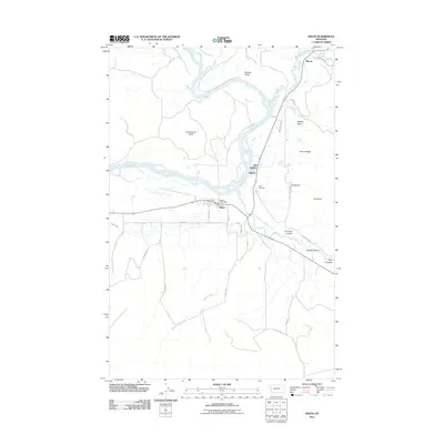 2011 Dixon2011 Print · USGSCovers Dixon, including Moiese, Old Agency, and other nearby areas
 - 2014 Map of Dixon, 2014 Print
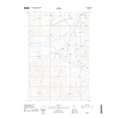
 2014 Dixon2014 Print · USGSCovers Dixon, including Moiese, Old Agency, and other nearby areas
 - 2017 Map of Dixon, 2017 Print
 2017 Dixon2017 Print · USGSCovers Dixon, including Moiese, Old Agency, and other nearby areas
 - 2020 Map of Dixon, 2020 Print
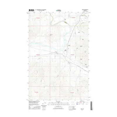
 2020 Dixon2020 Print · USGSCovers Dixon, including Moiese, Old Agency, and other nearby areas
 - 2024 Map of Dixon, 2024 Print
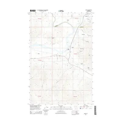
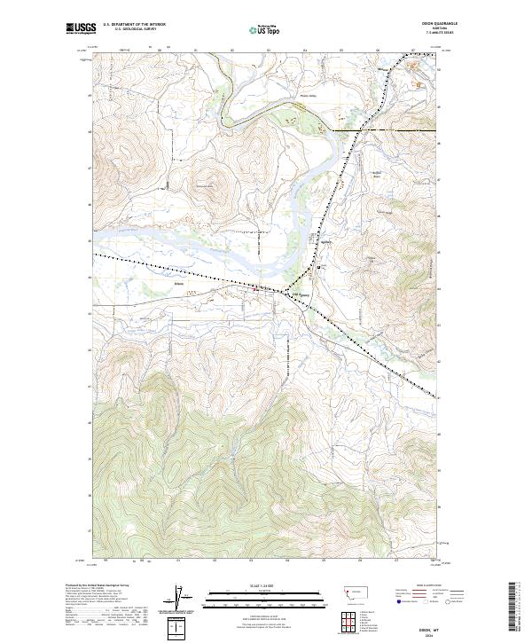 2024 Dixon2024 Print · USGSWestern Montana's river valleys and protected grasslands are captured here in recent detail, centered on the confluence of the Jocko and Flathead. Researchers can trace the extensive irrigation systems of the Revais Canal or locate local landmarks like Old Agency and the Dixon Cem.
End of results
Showing maps 1-9 of 9
Top cities near Dixon
Frequently asked questions
- What are the different types of historical maps available for Dixon?
- What is the oldest map of Dixon?
- Where can I purchase historical maps of Dixon for my home or office?
- Where can I download high-res historical maps of Dixon?
- Are there historical topographic maps available for Dixon?
- Is there historical aerial imagery available for Dixon?
- Where are historical maps of Dixon sourced from?