Old Maps of Knowles, Montana for Academic Research
Study the evolution of Knowles with 11 high-resolution historic maps. Whether you're teaching, researching, or modeling changes in land use, these maps provide essential visual documentation of urban, environmental, and geographic change.
- Analyze long-term change: Track patterns in development, transportation, and natural features.
- Ideal for environmental or urban studies: Support academic projects with primary historical map data.
- Use in the classroom or lab: Educators and researchers rely on these maps to bring historical context to life.
These maps are a powerful tool for teaching, research, and visualizing how Knowles has changed over the decades.
Knowles, MT maps
(11)- 1956 Map of Wallace, 1966 Print
 1956 Wallace1966 Print · USGSWestern Montana and the Idaho panhandle meet in this mid-century survey of the Bitterroot and Cabinet Mountains. Genealogists and historians can trace the rail-and-river economy through the Northern Pacific line and settlements like Thompson Falls or St. Ignatius.3 unique versions available
 - 1959 Map of Perma, 1961 Print
 1959 Perma1961 Print · USGSSanders County and the Flathead River valley are captured here in the late fifties as the rail and river economy defined life in the basin. Researchers can trace family history at Camas Cem or locate industrial sites like the Sunrise Mine and the Horse Ferry at Perma.2 unique versions available
 - 1960 Map of Wallace
 1960 Wallace1960 Print · USGSNorthwestern Montana and the Idaho panhandle are captured in the late fifties, showing the vast Flathead Indian Reservation and the mining districts of the Bitterroot Range. Researchers can trace the rail lines of the Northern Pacific or locate early sites like the Morning Mine and the National Bison Range.
 - 1984 Map of Knowles
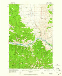
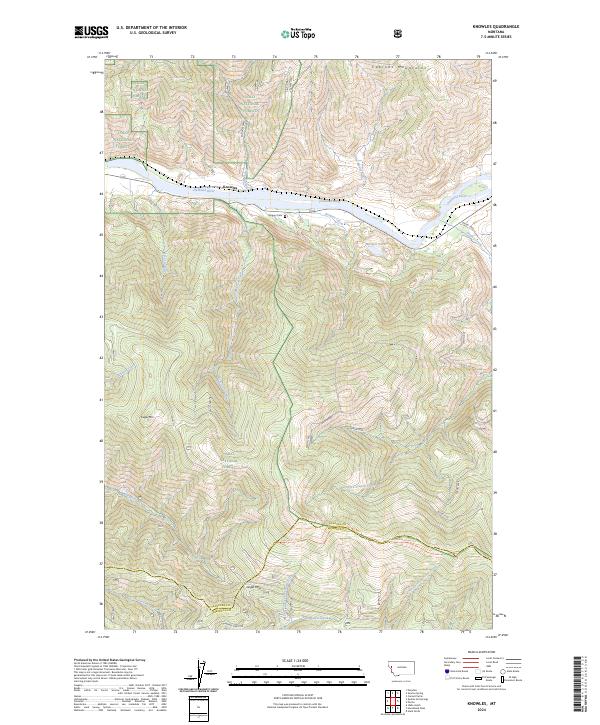
 1984 Knowles1984 Print · USGSWestern Montana in the mid-eighties was defined by the intersection of tribal lands and timber reserves along the Flathead River. Researchers can trace the Burlington Northern rail line through Knowles or locate family markers at Gingery Cem.
 - 1989 Map of Knowles
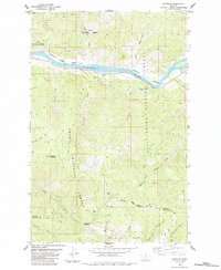
 1989 Knowles1989 Print · USGSThe Flathead River corridor in the late eighties serves as a vital artery for the Burlington Northern railroad and local ranching. Researchers can trace the Gingery Cem near Knowles and locate high-altitude landmarks like Siegel Mountain and the Strip Mine.
 - 1999 Map of Knowles, 2003 Print
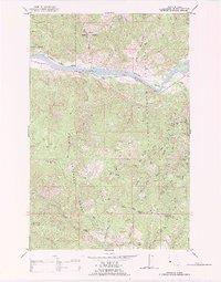
 1999 Knowles2003 Print · USGSThe Flathead River valley and its mountain surrounds were captured in the late twentieth century as timber and transit defined the land. Genealogists and historians can locate the Gingery Cem, the riverfront site of Knowles, and the historic Ferry crossing.
 - 2011 Map of Knowles, 2011 Print
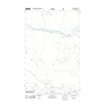 2011 Knowles2011 Print · USGSCovers Knowles, including Missoula County, Sanders County, and other nearby areas
 - 2014 Map of Knowles, 2014 Print
 2014 Knowles2014 Print · USGSCovers Knowles, including Missoula County, Sanders County, and other nearby areas
 - 2017 Map of Knowles, 2017 Print
 2017 Knowles2017 Print · USGSCovers Knowles, including Missoula County, Sanders County, and other nearby areas
 - 2020 Map of Knowles, 2020 Print
 2020 Knowles2020 Print · USGSCovers Knowles, including Missoula County, Sanders County, and other nearby areas
 - 2024 Map of Knowles, 2024 Print
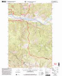
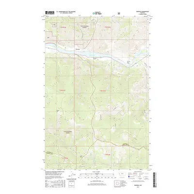
 2024 Knowles2024 Print · USGSWestern Montana's riverfront and mountain passes are documented here in the early twenty-first century as they border the Missoula and Sanders county line. Researchers can locate the Gingery Cem near the Flathead River or trace the high-country Reservation-Divide Trl past Siegel Mtn.
End of results
Showing maps 1-11 of 11
Top cities near Knowles
Frequently asked questions
- What are the different types of historical maps available for Knowles?
- What is the oldest map of Knowles?
- Where can I purchase historical maps of Knowles for my home or office?
- Where can I download high-res historical maps of Knowles?
- Are there historical topographic maps available for Knowles?
- Is there historical aerial imagery available for Knowles?
- Where are historical maps of Knowles sourced from?