Old Maps of Niarada, Montana for Metal Detecting
Plan your next treasure hunt with 10 historic maps of Niarada. Find old homesites, ghost towns, trails, and gathering spots that may be lost to time — perfect for identifying promising metal detecting locations.
- Locate forgotten sites: Uncover places like long-lost settlements, abandoned rail lines, or gathering spots.
- Plan better hunts: Use map overlays combined with LiDAR or satellite views to narrow in on historically rich areas.
- Made for detectorists: Thousands of hobbyists use these maps to discover relics, coins, and hidden history.
Use these historic maps to boost your research and find new opportunities beneath the surface of Niarada.
Niarada, MT maps
(10)- 1956 Map of Wallace, 1966 Print
 1956 Wallace1966 Print · USGSWestern Montana and the Idaho panhandle meet in this mid-century survey of the Bitterroot and Cabinet Mountains. Genealogists and historians can trace the rail-and-river economy through the Northern Pacific line and settlements like Thompson Falls or St. Ignatius.3 unique versions available
 - 1960 Map of Wallace
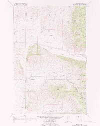
 1960 Wallace1960 Print · USGSNorthwestern Montana and the Idaho panhandle are captured in the late fifties, showing the vast Flathead Indian Reservation and the mining districts of the Bitterroot Range. Researchers can trace the rail lines of the Northern Pacific or locate early sites like the Morning Mine and the National Bison Range.
 - 1964 Map of Niarada, 1967 Print
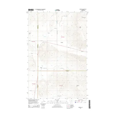
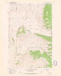 1964 Niarada1967 Print · USGSNiarada and the surrounding ranchlands are captured in the mid-1960s at the intersection of three Montana counties. Genealogists and local historians can trace family-named landmarks and rural infrastructure like Battle Butte Sch, the local Cem, and the winding Sullivan Creek.
 - 1980 Map of Polson, 1982 Print
 1980 Polson1982 Print · USGSThe Flathead Indian Reservation and its surrounding timberlands are captured here in the early eighties. Genealogists and historians can trace the development of Polson, locate remote sites like the Flathead Mine, and follow the Burlington Northern rail line through Pablo and Ronan.
 - 1988 Map of Niarada
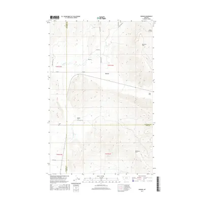
 1988 Niarada1988 Print · USGSIn the northwestern corner of the reservation during the late 1980s, the terrain around the border of Sanders, Flathead, and Lake counties reveals a remote ranching landscape. Researchers can locate the Battle Butte Sch, the Niarada townsite, and the local Cem tucked near Sullivan Creek.
 - 2011 Map of Niarada, 2011 Print
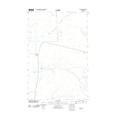 2011 Niarada2011 Print · USGSCovers Niarada, including Flathead County, Lake County, and other nearby areas
 - 2014 Map of Niarada, 2014 Print
 2014 Niarada2014 Print · USGSCovers Niarada, including Flathead County, Lake County, and other nearby areas
 - 2017 Map of Niarada, 2017 Print
 2017 Niarada2017 Print · USGSCovers Niarada, including Flathead County, Lake County, and other nearby areas
 - 2020 Map of Niarada, 2020 Print
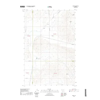 2020 Niarada2020 Print · USGSCovers Niarada, including Flathead County, Lake County, and other nearby areas
 - 2024 Map of Niarada, 2024 Print
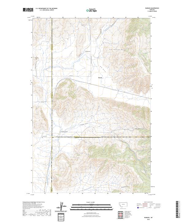 2024 Niarada2024 Print · USGSNiarada sits at the convergence of three Montana counties in this modern 2024 record of the region's mountain-and-valley landscape. Researchers can locate the Niarada Cem and trace rural routes through the Hog Heaven Range and Sullivan Gulch.
End of results
Showing maps 1-10 of 10
Top cities near Niarada
Frequently asked questions
- What are the different types of historical maps available for Niarada?
- What is the oldest map of Niarada?
- Where can I purchase historical maps of Niarada for my home or office?
- Where can I download high-res historical maps of Niarada?
- Are there historical topographic maps available for Niarada?
- Is there historical aerial imagery available for Niarada?
- Where are historical maps of Niarada sourced from?