Old Maps of Plains, Montana for Hiking & Exploration
Hike through history with 18 historic maps of Plains. Explore old trails, ghost towns, and forgotten backroads — perfect for outdoor adventurers and local explorers.
- Rediscover forgotten places: Map out old mining camps, roads, and footpaths that no longer exist on modern maps.
- Layer with modern tools: Combine with LiDAR or satellite views to plan hikes through historical terrain.
- Made for exploration: Popular among hikers, overlanders, and local history lovers.
Use these maps to find adventure and explore the hidden past of Plains.
Plains, MT maps
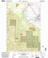
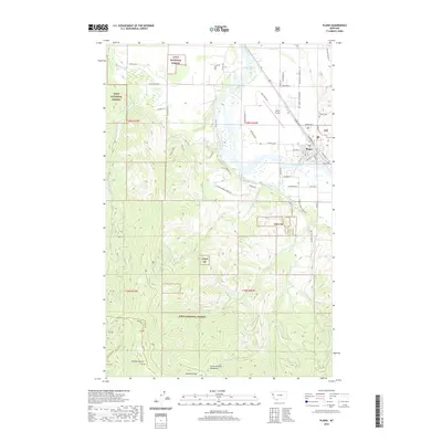
(18)- 1956 Map of Wallace, 1966 Print
 1956 Wallace1966 Print · USGSWestern Montana and the Idaho panhandle meet in this mid-century survey of the Bitterroot and Cabinet Mountains. Genealogists and historians can trace the rail-and-river economy through the Northern Pacific line and settlements like Thompson Falls or St. Ignatius.3 unique versions available
 - 1959 Map of Plains, 1961 Print
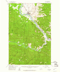 1959 Plains1961 Print · USGSThe Clark Fork and Flathead River valleys are captured here at mid-century, dominated by the timber and rail economy of the Lolo National Forest. Researchers can trace the Northern Pacific rail line to find vanished trackside sites like Donlan, the historic Quinns Hot Springs, or the Little Pittsburg Mine.2 unique versions available
 - 1960 Map of Wallace
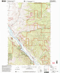
 1960 Wallace1960 Print · USGSNorthwestern Montana and the Idaho panhandle are captured in the late fifties, showing the vast Flathead Indian Reservation and the mining districts of the Bitterroot Range. Researchers can trace the rail lines of the Northern Pacific or locate early sites like the Morning Mine and the National Bison Range.
 - 1984 Map of Paradise
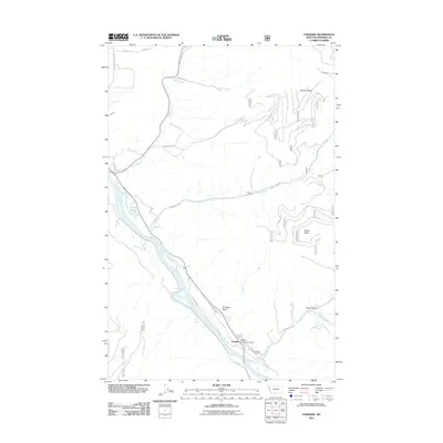
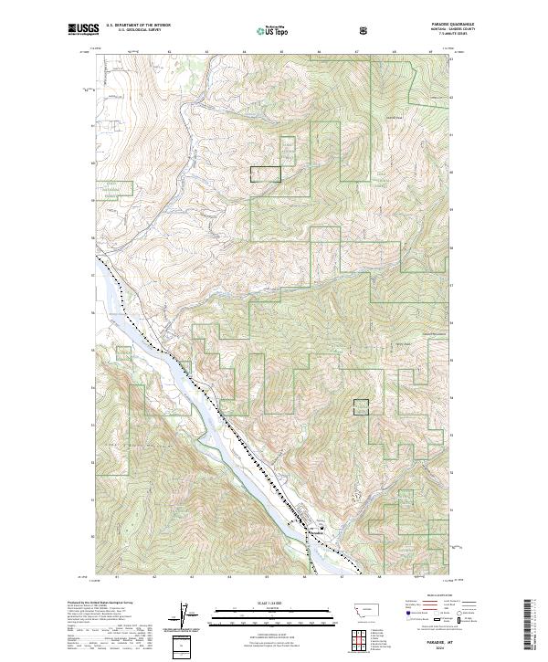
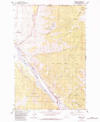 1984 Paradise1984 Print · USGSThe Clark Fork river valley in the 1980s shows the industrial and rail-centered life of this Montana mountain corridor. Trace the rail lines of the Burlington Northern past local landmarks like Smiley Slough, the town Cem, and Deemer Peak.
 - 1985 Map of Plains
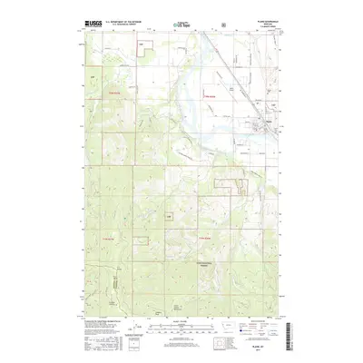
 1985 Plains1985 Print · USGSThe Clark Fork valley in the mid-1980s reveals the town of Plains as it follows the river's path through the Lolo National Forest. Researchers can trace old drainage routes and family-named landmarks like Combest Peak and Lynch Creek.
 - 1989 Map of Paradise
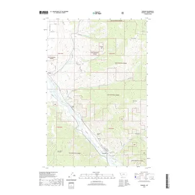
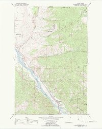 1989 Paradise1989 Print · USGSThe Clark Fork river valley in the late eighties served as a vital rail corridor through the Bitterroot mountains. Researchers can trace the Burlington Northern line through Paradise or locate the local Cem and the Flathead Indian Res boundary.
 - 1999 Map of Plains, 2003 Print
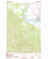
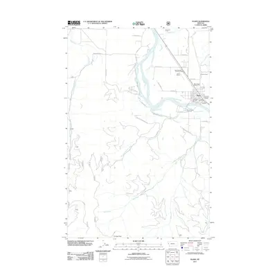
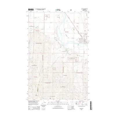
 1999 Plains2003 Print · USGSThe Clark Fork river valley and the town of Plains are captured here in the late twentieth century, showing a community defined by its timber and river-valley roots. Researchers can trace the town's footprint from the Fairground to the Cem, or head into the mountains to find Mines and the Plains Seed Orchard.
 - 1999 Map of Paradise, 2003 Print
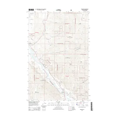
 1999 Paradise2003 Print · USGSParadise in the late 1990s serves as a critical junction where the river and rail meet beneath the mountains. Genealogists and local historians can trace the town layout and find landmarks like the Cem, Smiley Slough, and the Gaging Sta along the Clark Fork.
 - 2011 Map of Paradise, 2011 Print
 2011 Paradise2011 Print · USGSCovers Plains, including Paradise, Sanders County, and other nearby areas
 - 2011 Map of Plains, 2011 Print
 2011 Plains2011 Print · USGSCovers Plains, including Sanders County, Mineral County, and other nearby areas
 - 2014 Map of Plains, 2014 Print
 2014 Plains2014 Print · USGSCovers Plains, including Sanders County, Mineral County, and other nearby areas
 - 2014 Map of Paradise, 2014 Print
 2014 Paradise2014 Print · USGSCovers Plains, including Paradise, Sanders County, and other nearby areas
 - 2017 Map of Plains, 2017 Print
 2017 Plains2017 Print · USGSCovers Plains, including Sanders County, Mineral County, and other nearby areas
 - 2017 Map of Paradise, 2017 Print
 2017 Paradise2017 Print · USGSCovers Plains, including Paradise, Sanders County, and other nearby areas
 - 2020 Map of Paradise, 2020 Print
 2020 Paradise2020 Print · USGSCovers Plains, including Paradise, Sanders County, and other nearby areas
 - 2020 Map of Plains, 2020 Print
 2020 Plains2020 Print · USGSCovers Plains, including Sanders County, Mineral County, and other nearby areas
 - 2024 Map of Paradise, 2024 Print
 2024 Paradise2024 Print · USGSThe mountain town of Paradise is captured in this modern survey as it sits at the confluence of rail and river in Sanders County. Genealogists and local historians can trace the townsite at the Paradise Cem and the BNSF Railway corridor along the Clark Fork.
 - 2024 Map of Plains, 2024 Print
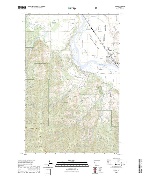 2024 Plains2024 Print · USGSPlains and the Clark Fork river valley are shown in this modern survey of western Montana. Researchers can trace the BNSF Railway corridor, find local family markers at Plains Cem, and explore the edges of the Lolo National Forest.
End of results
Showing maps 1-18 of 18
Top cities near Plains
Frequently asked questions
- What are the different types of historical maps available for Plains?
- What is the oldest map of Plains?
- Where can I purchase historical maps of Plains for my home or office?
- Where can I download high-res historical maps of Plains?
- Are there historical topographic maps available for Plains?
- Is there historical aerial imagery available for Plains?
- Where are historical maps of Plains sourced from?