Old Maps of Trout Creek, Montana for Hiking & Exploration
Hike through history with 13 historic maps of Trout Creek. Explore old trails, ghost towns, and forgotten backroads — perfect for outdoor adventurers and local explorers.
- Rediscover forgotten places: Map out old mining camps, roads, and footpaths that no longer exist on modern maps.
- Layer with modern tools: Combine with LiDAR or satellite views to plan hikes through historical terrain.
- Made for exploration: Popular among hikers, overlanders, and local history lovers.
Use these maps to find adventure and explore the hidden past of Trout Creek.
Trout Creek, MT maps
(13)- 1932 Map of Trout Creek, 1955 Print
 1932 Trout Creek1955 Print · USGSThe Clark Fork River corridor in the 1930s shows a landscape of mountain rail travel and early forest management. Genealogists and historians can locate rural schools like Ayers School, local industry at Tuscor Mill, and old mining sites such as the Jack White Mine.
 - 1935 Map of Trout Creek, 1949 Print
 1935 Trout Creek1949 Print · USGSThe Clark Fork valley and the mining districts of Shoshone County are caught in high detail in the 1930s. Genealogists and historians can trace rail-side schools like Tuscor Sch, the operations at Jack Waite Mine, and old settlements from Noxon to Mace.
 - 1936 Map of Trout Creek
 1936 Trout Creek1936 Print · USGSThe Clark Fork valley and the Bitterroot mountains are captured here in the mid-1930s, showing a landscape defined by timber and mining. Researchers can trace the industrial footprint of the Tuscor Mill, remote operations like the Jack Waite Mine, and old mountain schools such as Flat Sch.2 unique versions available
 - 1956 Map of Wallace, 1966 Print
 1956 Wallace1966 Print · USGSWestern Montana and the Idaho panhandle meet in this mid-century survey of the Bitterroot and Cabinet Mountains. Genealogists and historians can trace the rail-and-river economy through the Northern Pacific line and settlements like Thompson Falls or St. Ignatius.3 unique versions available
 - 1960 Map of Wallace
 1960 Wallace1960 Print · USGSNorthwestern Montana and the Idaho panhandle are captured in the late fifties, showing the vast Flathead Indian Reservation and the mining districts of the Bitterroot Range. Researchers can trace the rail lines of the Northern Pacific or locate early sites like the Morning Mine and the National Bison Range.
 - 1966 Map of Trout Creek, 1971 Print
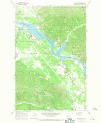 1966 Trout Creek1971 Print · USGSThe Clark Fork valley in the mid-sixties reveals a landscape transformed by the Noxon Reservoir. Genealogists and local historians can locate the Whitepine Cem and trace the original Northern Pacific rail line through Trout Creek.3 unique versions available
 - 1992 Map of Thompson Falls, 1993 Print
 1992 Thompson Falls1993 Print · USGSNorthwest Montana in the early nineties is defined here by the winding Clark Fork and its major impoundments. Researchers can trace the river-valley settlements of Noxon, Trout Creek, and Thompson Falls or locate mining sites like the Copper King Mine.
 - 1997 Map of Trout Creek, 2000 Print
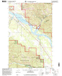 1997 Trout Creek2000 Print · USGSThe Clark Fork valley in the late twentieth century is shown here as the Noxon Reservoir reaches its full extent. Researchers can locate the Whitepine Cem, trace the Water Hill Trail, and examine the shoreline near Trout Creek and Honey Flat.
 - 2011 Map of Trout Creek, 2011 Print
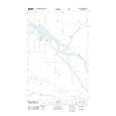 2011 Trout Creek2011 Print · USGSSanders County in the early twenty-first century reveals a landscape shaped by the impoundment of the Vermillion River at Noxon Reservoir. Researchers can locate civic sites like the Trout Creek Post Office or trace family history at the Whitepine Cemetery.
 - 2014 Map of Trout Creek, 2014 Print
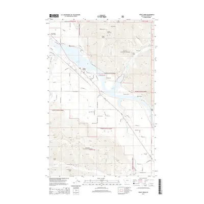 2014 Trout Creek2014 Print · USGSTrout Creek and the lower Clark Fork valley are documented here in the early twenty-first century, showing a landscape shaped by timber and water. Researchers can trace local landmarks like Whitepine Cem, the shoreline of Noxon Reservoir, and Honey Flat.
 - 2017 Map of Trout Creek, 2017 Print
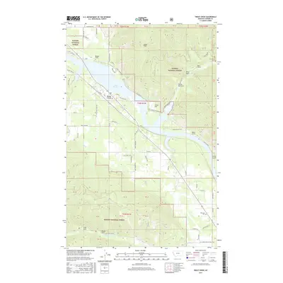 2017 Trout Creek2017 Print · USGSThe Clark Fork valley in Sanders County is shown here in the late twenty-teens, centered on the waters of Noxon Reservoir and the town of Trout Creek. Researchers can trace old timber roads and local landmarks like Honey Flat or the Whitepine Cem.
 - 2020 Map of Trout Creek, 2020 Print
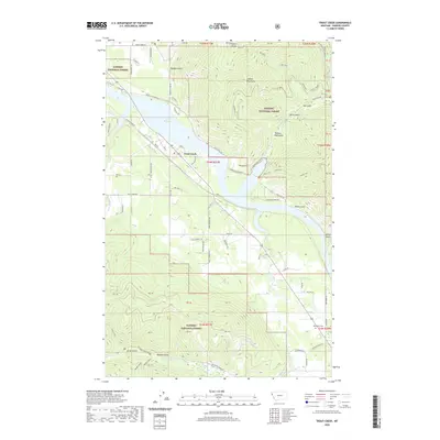 2020 Trout Creek2020 Print · USGSTrout Creek and the Clark Fork River valley are captured in this recent survey during a period of established forest management and recreation. Genealogists and local historians can locate the Whitepine Cem, trace the drainage of Belgian Gulch, and explore the roads around Whitepine.
 - 2024 Map of Trout Creek, 2024 Print
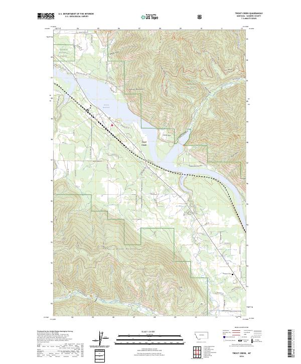 2024 Trout Creek2024 Print · USGSThe mountain valley around Trout Creek is shown in detail during the early 2020s, dominated by the Noxon Reservoir and the Cabinet Mountains. Family historians can locate the Whitepine Cem and trace old routes like Old Hwy through the Kaniksu National Forest.
End of results
Showing maps 1-13 of 13
Top cities near Trout Creek
Frequently asked questions
- What are the different types of historical maps available for Trout Creek?
- What is the oldest map of Trout Creek?
- Where can I purchase historical maps of Trout Creek for my home or office?
- Where can I download high-res historical maps of Trout Creek?
- Are there historical topographic maps available for Trout Creek?
- Is there historical aerial imagery available for Trout Creek?
- Where are historical maps of Trout Creek sourced from?