Old Maps of Westby, Montana for Hiking & Exploration
Hike through history with 14 historic maps of Westby. Explore old trails, ghost towns, and forgotten backroads — perfect for outdoor adventurers and local explorers.
- Rediscover forgotten places: Map out old mining camps, roads, and footpaths that no longer exist on modern maps.
- Layer with modern tools: Combine with LiDAR or satellite views to plan hikes through historical terrain.
- Made for exploration: Popular among hikers, overlanders, and local history lovers.
Use these maps to find adventure and explore the hidden past of Westby.
Westby, MT maps
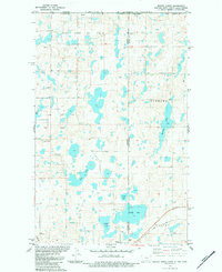
(14)- 1954 Map of Wolf Point, 1967 Print
 1954 Wolf Point1967 Print · USGSNortheastern Montana and the North Dakota borderlands are shown here in the mid-fifties, dominated by the Missouri River and the Fort Peck Indian Reservation. Genealogists and historians can trace the Great Northern rail line through river towns like Poplar and Culbertson or locate northern border outposts like the U S Custom Office at Raymond.2 unique versions available
 - 1958 Map of Wolf Point
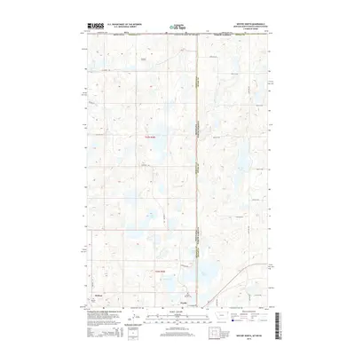
 1958 Wolf Point1958 Print · USGSNortheastern Montana is shown during the mid-fifties, featuring the extensive Fort Peck Indian Reservation and the Missouri River valley. Researchers can trace the Great Northern railroad through Wolf Point or locate sites like Slab Crossing and the Coal Mine near Medicine Lake.
 - 1983 Map of Westby South, 1984 Print
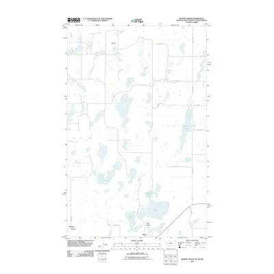
 1983 Westby South1984 Print · USGSThe Montana-North Dakota borderlands in the early eighties reveal a landscape shaped by rail travel and energy exploration. Researchers can locate family sites near the Daneville Cem, trace the Soo Line into Westby, or identify numerous oil wells and the central Goose Lake.
 - 1983 Map of Westby North, 1984 Print
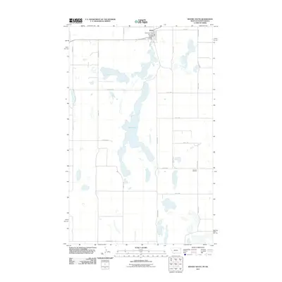
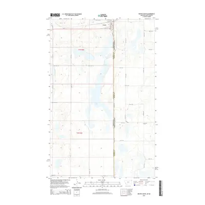
 1983 Westby North1984 Print · USGSSheridan County and the international border come to life in the early eighties as energy extraction meets traditional prairie life. Trace the rail-and-well economy through the Soo Line, the Flat Lake Oil Field, and the border town of Westby.2 unique versions available
 - 2011 Map of Westby South, 2011 Print
 2011 Westby South2011 Print · USGSCovers Westby, including Sheridan County, Divide County, and other nearby areas
 - 2011 Map of Westby North, 2011 Print
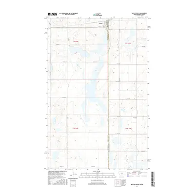
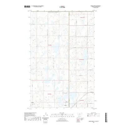
 2011 Westby North2011 Print · USGSCovers Westby, including McElroy, Lake Alma No. 8, and other nearby areas
 - 2014 Map of Westby North, 2014 Print
 2014 Westby North2014 Print · USGSCovers Westby, including McElroy, Lake Alma No. 8, and other nearby areas
 - 2014 Map of Westby South, 2014 Print
 2014 Westby South2014 Print · USGSCovers Westby, including Sheridan County, Divide County, and other nearby areas
 - 2017 Map of Westby North, 2017 Print
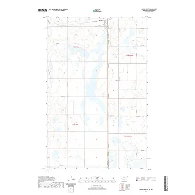
 2017 Westby North2017 Print · USGSCovers Westby, including McElroy, Lake Alma No. 8, and other nearby areas
 - 2017 Map of Westby South, 2017 Print
 2017 Westby South2017 Print · USGSCovers Westby, including Sheridan County, Divide County, and other nearby areas
 - 2020 Map of Westby South, 2020 Print
 2020 Westby South2020 Print · USGSCovers Westby, including Sheridan County, Divide County, and other nearby areas
 - 2020 Map of Westby North, 2020 Print
 2020 Westby North2020 Print · USGSCovers Westby, including McElroy, Lake Alma No. 8, and other nearby areas
 - 2024 Map of Westby South, 2024 Print
 2024 Westby South2024 Print · USGSThe Montana-North Dakota border country comes into focus in this contemporary survey of the high plains. Genealogists and local historians can locate the Westby Cem and Daneville Cem or trace the extensive wetlands of Goose Lake.
 - 2024 Map of Westby North, 2024 Print
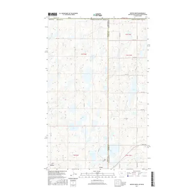
 2024 Westby North2024 Print · USGSThe Montana and North Dakota border comes into focus in this contemporary survey of the High Plains. Researchers can trace the prairie landscape between Westby and McElroy, locating sites like the Westby Catholic Cem and Round Lake.
End of results
Showing maps 1-14 of 14
Frequently asked questions
- What are the different types of historical maps available for Westby?
- What is the oldest map of Westby?
- Where can I purchase historical maps of Westby for my home or office?
- Where can I download high-res historical maps of Westby?
- Are there historical topographic maps available for Westby?
- Is there historical aerial imagery available for Westby?
- Where are historical maps of Westby sourced from?