
1983 Map of Westby North
USGS Topo · Published 1984About this map
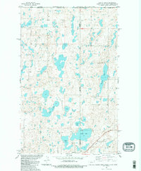
The Flat Lake Oil Field dominates the high plains of the international boundary region, where numerous oil wells dot a landscape of prairie potholes and glacial lakes. This 1983 survey captures the industrial footprint of energy extraction alongside the traditional rural settlements of Westby and McElroy. The town of Westby serves as a local hub near the Soo Line railroad, featuring an Athletic Field and a local Cem. The map reveals a complex hydrologic network including Flat Lake, Mc Cone Lake, and Gaulke Lake, which cross state lines between Montana and North Dakota. This convergence of state and national borders at United States and Canada creates a unique geopolitical intersection, where section lines and petroleum infrastructure define the land use of the late twentieth century.
Find a feature on this map
21 named features on this map. Tap any name to fly to it.
Don’t see what you’re looking for? This feature index may not catch every label — zoom into the map to look around manually.
Map Details
Editions of this 1983 Westby North Map
2 editions found
Other maps of this area

1953 · Williston
USGS Topo · 1:250,000

1954 · Wolf Point
USGS Topo · 1:250,000

1957 · Williston
USGS Topo · 1:250,000

1958 · Wolf Point
USGS Topo · 1:250,000

1983 · Tadpole Lake
USGS Topo · 1:24,000

1983 · Lone Tree Lake
USGS Topo · 1:24,000

1983 · Westby South
USGS Topo · 1:24,000

1983 · Alkabo
USGS Topo · 1:24,000
1983 · Skjermo Lake
USGS Topo · 1:24,000

1984 · Crosby
USGS Topo · 1:100,000