
1983 Map of Lone Tree Lake
USGS Topo · Published 1983About this map
The northern edge of Sheridan County, Montana, meets the Canadian border in this 1983 survey, which documents the landscape between the United States and Saskatchewan. The terrain is defined by a series of depressions and wetlands, notably Widgeon Slough and Larson Slough, which drain toward the larger Lone Tree Lake. These water features suggest a glaciated prairie landscape where drainage is internal, a common characteristic of the northern plains.
Find a feature on this map
8 named features on this map. Tap any name to fly to it.
Don’t see what you’re looking for? This feature index may not catch every label — zoom into the map to look around manually.
Map Details
Editions of this 1983 Lone Tree Lake Map
This is the sole edition of this map. No revisions or reprints were ever made.
Other maps of this area

1954 · Wolf Point
USGS Topo · 1:250,000

1958 · Wolf Point
USGS Topo · 1:250,000

1983 · Tadpole Lake
USGS Topo · 1:24,000

1983 · Dooley SE
USGS Topo · 1:24,000

1983 · Park Lake
USGS Topo · 1:24,000

1983 · Westby South
USGS Topo · 1:24,000

1983 · Westby North
USGS Topo · 1:24,000
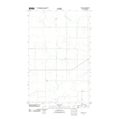
2011 · Dooley SE
USGS Topo · 1:24,000
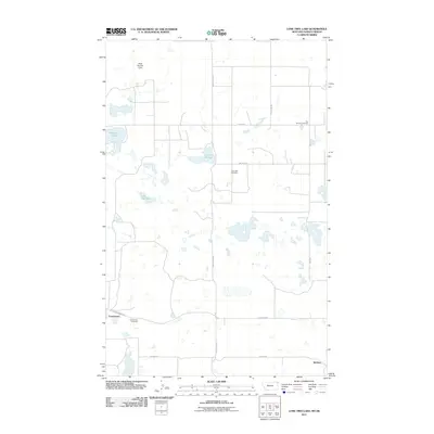
2011 · Lone Tree Lake
USGS Topo · 1:24,000
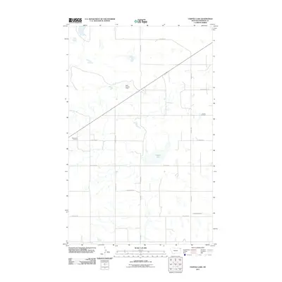
2011 · Tadpole Lake
USGS Topo · 1:24,000