
1983 Map of Park Lake
USGS Topo · Published 1983About this map
Sheridan County, Montana, meets the international border with Canada in this late-twentieth-century study of the high prairie landscape. The area is defined by a series of saline and freshwater basins, including Johnson Lake, Salt Lake, and the centrally located Park Lake. Human settlement is concentrated at Comertown in the southeast corner, where the grid of sections meets local land use evidenced by a Gravel Pit and a designated Cem. The map documents the intricate topography of the Lake Alma Rural Municipality No 8 and Sheridan County line, showing a terrain of sloughs and depressions such as Widgeon Slough and Corners Lake. This environment, recorded just before the mid-1980s, reflects the transition between the agricultural lands of Montana and the Saskatchewan borderlands, where natural drainage and elevation changes dictate the placement of roads and homesteads.
Find a feature on this map
11 named features on this map. Tap any name to fly to it.
Don’t see what you’re looking for? This feature index may not catch every label — zoom into the map to look around manually.
Map Details
Editions of this 1983 Park Lake Map
This is the sole edition of this map. No revisions or reprints were ever made.
Other maps of this area

1954 · Wolf Point
USGS Topo · 1:250,000

1958 · Wolf Point
USGS Topo · 1:250,000

1983 · Dooley
USGS Topo · 1:24,000

1983 · Tadpole Lake
USGS Topo · 1:24,000

1983 · Dooley SW
USGS Topo · 1:24,000

1983 · Dooley SE
USGS Topo · 1:24,000

1983 · Lone Tree Lake
USGS Topo · 1:24,000
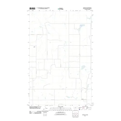
2011 · Dooley
USGS Topo · 1:24,000
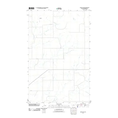
2011 · Dooley SW
USGS Topo · 1:24,000
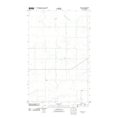
2011 · Dooley SE
USGS Topo · 1:24,000