
1983 Map of Alkabo
USGS Topo · Published 1984About this map
Alkabo serves as the primary hub for this portion of Divide County, its role as a regional collection point underscored by a Grain Elevator situated along the Soo Line. The prairie landscape is defined by the township boundaries of Westby and Daneville, where glacial potholes and depressions have formed significant water bodies like North Lake and Miller Lake. These lakes are surrounded by a network of seasonal wetlands and small, unnamed water features typical of the Missouri Coteau region.
Find a feature on this map
16 named features on this map. Tap any name to fly to it.
Don’t see what you’re looking for? This feature index may not catch every label — zoom into the map to look around manually.
Map Details
Editions of this 1983 Alkabo Map
This is the sole edition of this map. No revisions or reprints were ever made.
Other maps of this area

1953 · Williston
USGS Topo · 1:250,000

1954 · Wolf Point
USGS Topo · 1:250,000

1957 · Williston
USGS Topo · 1:250,000

1958 · Wolf Point
USGS Topo · 1:250,000

1983 · Westby South
USGS Topo · 1:24,000

1983 · Writing Rock North
USGS Topo · 1:24,000

1983 · Westby North
USGS Topo · 1:24,000

1983 · Writing Rock South
USGS Topo · 1:24,000
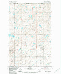
1983 · Fortuna
USGS Topo · 1:24,000
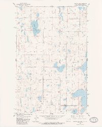
1983 · Dominek Lake
USGS Topo · 1:24,000