Old Maps of Johnson, Butte for Hiking & Exploration
Hike through history with 15 historic maps of Johnson. Explore old trails, ghost towns, and forgotten backroads — perfect for outdoor adventurers and local explorers.
- Rediscover forgotten places: Map out old mining camps, roads, and footpaths that no longer exist on modern maps.
- Layer with modern tools: Combine with LiDAR or satellite views to plan hikes through historical terrain.
- Made for exploration: Popular among hikers, overlanders, and local history lovers.
Use these maps to find adventure and explore the hidden past of Johnson.
Johnson, Butte maps
(15)- 1893 Map of Dillon
 1893 Dillon1893 Print · USGSSouthwestern Montana’s mountain ranges and river basins were being reshaped by the mining and rail boom in the late nineteenth century. Genealogists and historians can trace the early layout of Dillon and vanished camps like Hecla, Rochester, and Argenta.5 unique versions available
 - 1955 Map of Dillon, 1978 Print
 1955 Dillon1978 Print · USGSSouthwest Montana at the dawn of the interstate era reveals a landscape of high-mountain ranching and historic mining camps. Trace the routes of the Union Pacific through Dillon and Armstead, or locate early settlements like Bannack and Wisdom.2 unique versions available
 - 1957 Map of Dillon
 1957 Dillon1957 Print · USGSSouthwest Montana and Idaho in the mid-fifties reveal a high-country landscape of mountain ranges and ranching valleys. Genealogists can trace family holdings and rail stops along the Union Pacific Railroad, from Dillon to historic Virginia City and Twin Bridges.
 - 1958 Map of Dillon
 1958 Dillon1958 Print · USGSSouthwestern Montana during the late fifties reveals a high-country landscape defined by the Continental Divide and a legacy of mountain mining. Genealogists and historians can trace rail lines like the Union Pacific or locate early industrial sites including the Hecla Mine and Ermont Mine.
 - 1961 Map of Butte South, 1964 Print
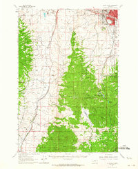 1961 Butte South1964 Print · USGSThe industrial outskirts of Butte meet the high timber of the Continental Divide in the early 1960s. Genealogists can locate several major cemeteries like Holy Cross Cem and Mountain View Cem, while researchers can trace rail lines to Feeley and the old Moose Town (Site).2 unique versions available
 - 1962 Map of Dillon
 1962 Dillon1962 Print · USGSSouthwest Montana in the early sixties is defined by its high mountain ranges and the winding rivers that carved its settlement patterns. Trace the rail routes of the Union Pacific through Dillon or locate mining activity near Butte and Argenta.
 - 1965 Map of Dillon
 1965 Dillon1965 Print · USGSSouthwest Montana in the mid-1960s is defined by its rugged river valleys and high mountain passes along the Continental Divide. Researchers can trace the path of the Union Pacific through Dillon and Armstead, or locate early mining activity near Melrose and Wise River.
 - 1975 Map of Butte South
 1975 Butte South1975 Print · USGSIn the mid-1970s, the mountainous terrain south of Butte was a hub of mining and rail activity. You can trace the Burlington Northern line through historic settlements like Melrose, Twin Bridges, and Whitehall, or locate family-named mines including Watseca Mine and Hecla Mines.
 - 1989 Map of Tucker Creek
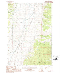 1989 Tucker Creek1989 Print · USGSSilver Bow County during the late eighties shows a landscape of protected wilderness and active mineral exploration. Researchers can trace historic prospecting sites and remote infrastructure like the Fleecer FS Sta, South Fork Res, and Crazy Swede Creek.
 - 1996 Map of Tucker Creek, 1998 Print
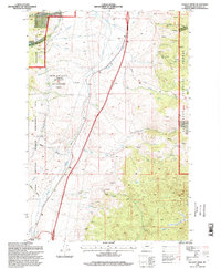 1996 Tucker Creek1998 Print · USGSThe Silver Bow high country is shown here in the mid-1990s, where public lands and wildlife management zones converge. You can locate remote outposts like the Fleecer Guard Station, trace old mining prospects in Curly Gulch, and follow the path of an early aqueduct.
 - 2011 Map of Tucker Creek, 2011 Print
 2011 Tucker Creek2011 Print · USGSCovers Johnson, including Butte, Divide, and other nearby areas
 - 2014 Map of Tucker Creek, 2014 Print
 2014 Tucker Creek2014 Print · USGSCovers Johnson, including Butte, Divide, and other nearby areas
 - 2017 Map of Tucker Creek, 2017 Print
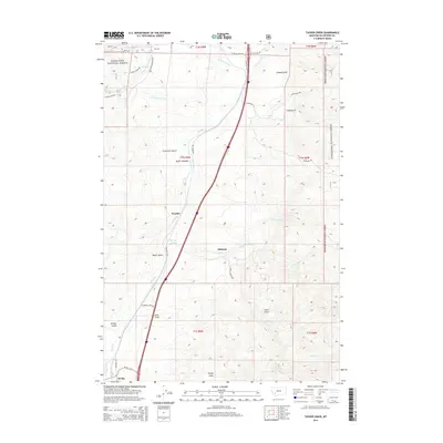
 2017 Tucker Creek2017 Print · USGSCovers Johnson, including Butte, Divide, and other nearby areas
 - 2020 Map of Tucker Creek, 2020 Print
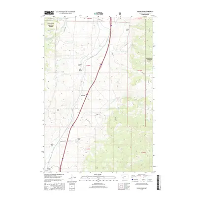
 2020 Tucker Creek2020 Print · USGSCovers Johnson, including Butte, Divide, and other nearby areas
 - 2024 Map of Tucker Creek, 2024 Print
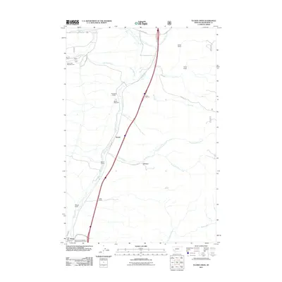
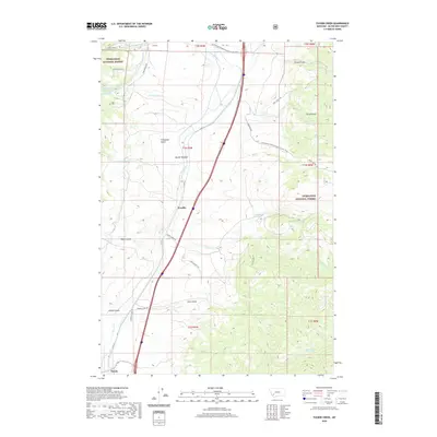
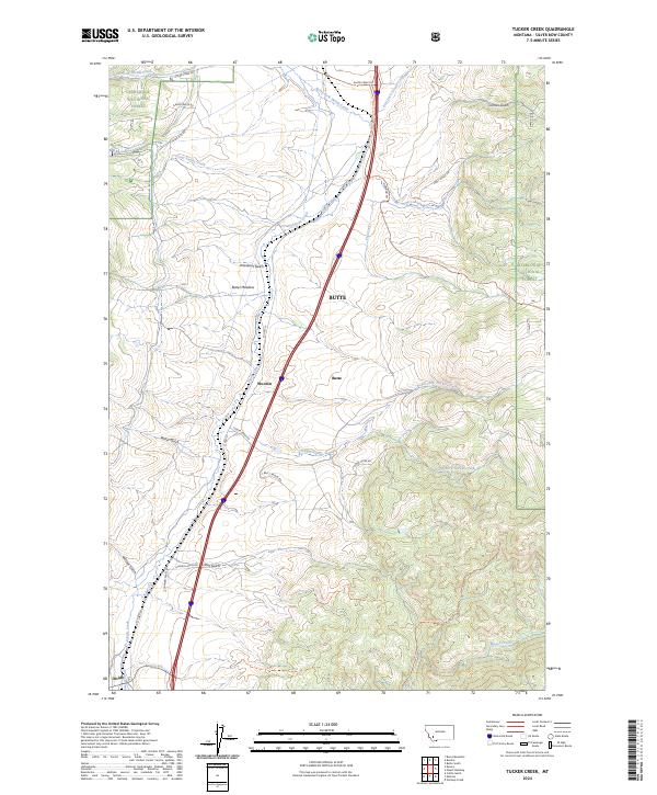 2024 Tucker Creek2024 Print · USGSSilver Bow County at the continental divide is captured here as a landscape of forest tracts and historic ranch roads. You can trace the high-country route of the Continental Divide National Scenic Trl or locate the small settlements of Woodin and Divide.
End of results
Showing maps 1-15 of 15
Top cities near Johnson
Frequently asked questions
- What are the different types of historical maps available for Johnson?
- What is the oldest map of Johnson?
- Where can I purchase historical maps of Johnson for my home or office?
- Where can I download high-res historical maps of Johnson?
- Are there historical topographic maps available for Johnson?
- Is there historical aerial imagery available for Johnson?
- Where are historical maps of Johnson sourced from?