Old Maps of Moose Town, Butte for Academic Research
Study the evolution of Moose Town with 15 high-resolution historic maps. Whether you're teaching, researching, or modeling changes in land use, these maps provide essential visual documentation of urban, environmental, and geographic change.
- Analyze long-term change: Track patterns in development, transportation, and natural features.
- Ideal for environmental or urban studies: Support academic projects with primary historical map data.
- Use in the classroom or lab: Educators and researchers rely on these maps to bring historical context to life.
These maps are a powerful tool for teaching, research, and visualizing how Moose Town has changed over the decades.
Moose Town, Butte maps
(15)- 1893 Map of Dillon
 1893 Dillon1893 Print · USGSSouthwestern Montana’s mountain ranges and river basins were being reshaped by the mining and rail boom in the late nineteenth century. Genealogists and historians can trace the early layout of Dillon and vanished camps like Hecla, Rochester, and Argenta.5 unique versions available
 - 1955 Map of Dillon, 1978 Print
 1955 Dillon1978 Print · USGSSouthwest Montana at the dawn of the interstate era reveals a landscape of high-mountain ranching and historic mining camps. Trace the routes of the Union Pacific through Dillon and Armstead, or locate early settlements like Bannack and Wisdom.2 unique versions available
 - 1957 Map of Dillon
 1957 Dillon1957 Print · USGSSouthwest Montana and Idaho in the mid-fifties reveal a high-country landscape of mountain ranges and ranching valleys. Genealogists can trace family holdings and rail stops along the Union Pacific Railroad, from Dillon to historic Virginia City and Twin Bridges.
 - 1958 Map of Dillon
 1958 Dillon1958 Print · USGSSouthwestern Montana during the late fifties reveals a high-country landscape defined by the Continental Divide and a legacy of mountain mining. Genealogists and historians can trace rail lines like the Union Pacific or locate early industrial sites including the Hecla Mine and Ermont Mine.
 - 1961 Map of Butte South, 1964 Print
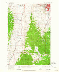 1961 Butte South1964 Print · USGSThe industrial outskirts of Butte meet the high timber of the Continental Divide in the early 1960s. Genealogists can locate several major cemeteries like Holy Cross Cem and Mountain View Cem, while researchers can trace rail lines to Feeley and the old Moose Town (Site).2 unique versions available
 - 1962 Map of Dillon
 1962 Dillon1962 Print · USGSSouthwest Montana in the early sixties is defined by its high mountain ranges and the winding rivers that carved its settlement patterns. Trace the rail routes of the Union Pacific through Dillon or locate mining activity near Butte and Argenta.
 - 1965 Map of Dillon
 1965 Dillon1965 Print · USGSSouthwest Montana in the mid-1960s is defined by its rugged river valleys and high mountain passes along the Continental Divide. Researchers can trace the path of the Union Pacific through Dillon and Armstead, or locate early mining activity near Melrose and Wise River.
 - 1975 Map of Butte South
 1975 Butte South1975 Print · USGSIn the mid-1970s, the mountainous terrain south of Butte was a hub of mining and rail activity. You can trace the Burlington Northern line through historic settlements like Melrose, Twin Bridges, and Whitehall, or locate family-named mines including Watseca Mine and Hecla Mines.
 - 1989 Map of Mount Humbug
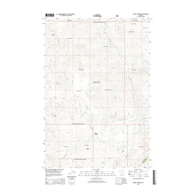
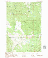 1989 Mount Humbug1989 Print · USGSSilver Bow and Madison Counties are captured here in the late eighties, showing a landscape shaped by the Continental Divide and a long history of mineral exploration. Researchers can trace the layout of Moose Town, locate numerous Prospect sites, and explore the water systems of Basin Creek Reservoir.
 - 1996 Map of Mount Humbug, 1998 Print
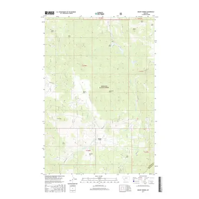
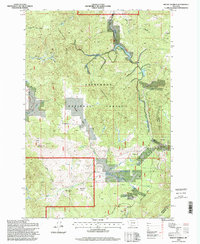 1996 Mount Humbug1998 Print · USGSThe Silver Bow and Madison county line crosses the Continental Divide during the mid-1990s, revealing a landscape shaped by mining and water management. Trace local history through the mining sites near Moose Town and landmarks like Mount Humbug and Gold Hill.
 - 2011 Map of Mount Humbug, 2011 Print
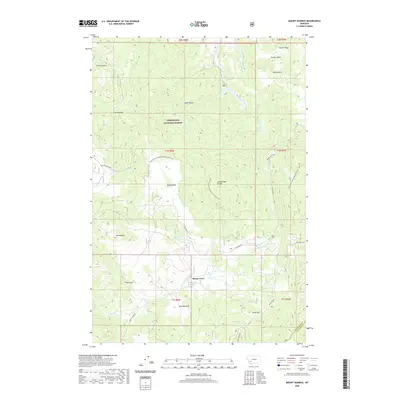
 2011 Mount Humbug2011 Print · USGSCovers Moose Town, including Butte, Silver Bow County, and other nearby areas
 - 2014 Map of Mount Humbug, 2014 Print
 2014 Mount Humbug2014 Print · USGSCovers Moose Town, including Butte, Silver Bow County, and other nearby areas
 - 2017 Map of Mount Humbug, 2017 Print
 2017 Mount Humbug2017 Print · USGSCovers Moose Town, including Butte, Silver Bow County, and other nearby areas
 - 2020 Map of Mount Humbug, 2020 Print
 2020 Mount Humbug2020 Print · USGSCovers Moose Town, including Butte, Silver Bow County, and other nearby areas
 - 2024 Map of Mount Humbug, 2024 Print
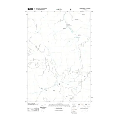
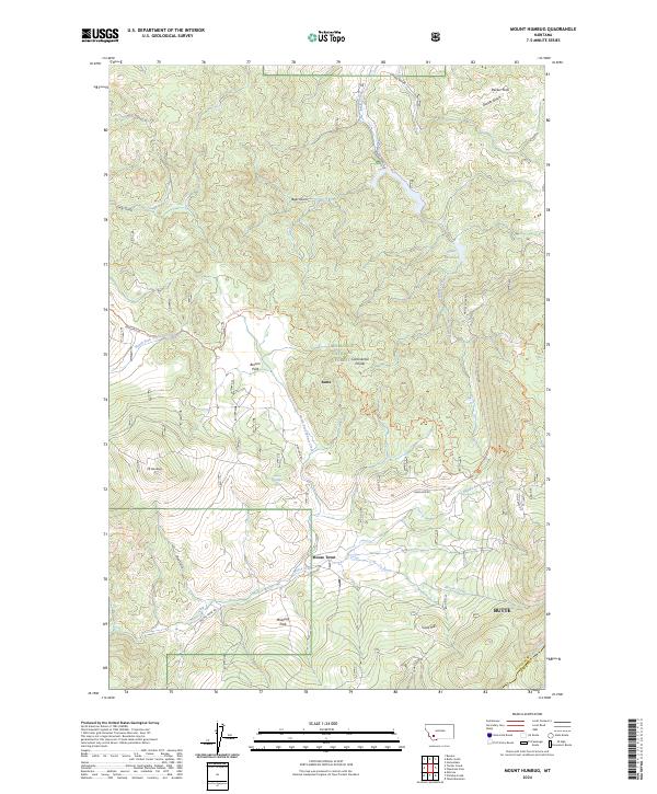 2024 Mount Humbug2024 Print · USGSThe high ridgelines south of Butte are documented here in the early twenty-first century, centered on the Continental Divide. Hikers and local historians can trace the Continental Divide National Scenic Trail as it passes Mt Humbug and the small settlement at Moose Town.
End of results
Showing maps 1-15 of 15
Top cities near Moose Town
Frequently asked questions
- What are the different types of historical maps available for Moose Town?
- What is the oldest map of Moose Town?
- Where can I purchase historical maps of Moose Town for my home or office?
- Where can I download high-res historical maps of Moose Town?
- Are there historical topographic maps available for Moose Town?
- Is there historical aerial imagery available for Moose Town?
- Where are historical maps of Moose Town sourced from?