Old Maps of Truchot Hill, Montana for Metal Detecting
Plan your next treasure hunt with 14 historic maps of Truchot Hill. Find old homesites, ghost towns, trails, and gathering spots that may be lost to time — perfect for identifying promising metal detecting locations.
- Locate forgotten sites: Uncover places like long-lost settlements, abandoned rail lines, or gathering spots.
- Plan better hunts: Use map overlays combined with LiDAR or satellite views to narrow in on historically rich areas.
- Made for detectorists: Thousands of hobbyists use these maps to discover relics, coins, and hidden history.
Use these historic maps to boost your research and find new opportunities beneath the surface of Truchot Hill.
Truchot Hill, MT maps
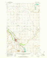
(14)- 1920 Map of Choteau
 1920 Choteau1920 Print · USGSNorth-central Montana in the early twentieth century shows a landscape being reshaped by irrigation canals and competing rail lines. Family historians can trace early settlements like Agawam, Bole, and Gilman, or locate regional landmarks like Priest Butte and Pishkun Reservoir.
 - 1955 Map of Choteau, 1978 Print
 1955 Choteau1978 Print · USGSWestern Montana during the mid-fifties is captured here as a land of rugged high-country wilderness and vital eastern plains irrigation. Genealogists and historians can locate remote outposts like Condon, the communal Miller Colony, and the rail stops of the Chicago Milwaukee St Paul and Pacific.
 - 1957 Map of Choteau
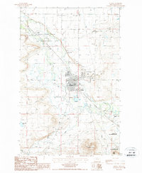
 1957 Choteau1957 Print · USGSMontana's mountain front meets the eastern plains in the mid-fifties, showing the transition from forested wilderness to irrigated ranch land. Genealogists and historians can trace the rail lines of the Great Northern and find settlements like Choteau, Augusta, and Seeley Lake.
 - 1958 Map of Choteau
 1958 Choteau1958 Print · USGSMontana's front range meets the high wilderness in the late fifties, where the Great Northern railway connects ranching towns to the eastern plains. Researchers can trace the development of irrigation at Bynum Reservoir or locate remote camps like the Big Prairie District Ranger Station and Helmville.2 unique versions available
 - 1960 Map of Choteau, 1962 Print
 1960 Choteau1962 Print · USGSMontana's Rocky Mountain Front is seen here in the early sixties, centered on the irrigation and rail networks around Choteau. Genealogists and local historians can trace rural school sites like East Farmington No 5 Sch or search for family roots at Trinity Cem and Agawam.2 unique versions available
 - 1962 Map of Choteau
 1962 Choteau1962 Print · USGSThe Rocky Mountain Front meets the western plains in the early 1960s, showing a landscape defined by the Continental Divide. Genealogists and researchers can trace the tracks of the Great Northern and find settlements like Choteau, Augusta, and Bynum.
 - 1976 Map of Choteau
 1976 Choteau1976 Print · USGSThe Montana Rocky Mountain Front meets the plains in the 1970s, showcasing the high-altitude wilderness and the irrigation-fed ranching country. Trace the Great Northern Railway through Choteau or locate rural landmarks like the Farmington Cemetery and Gibson Reservoir.
 - 1984 Map of Choteau
 1984 Choteau1984 Print · USGSThe Teton River country comes to life in this mid-eighties record of the Montana plains and mountains. Trace the footprints of early ranching and farming settlements like Farmington and Eastham Junction, or explore the unique Hutterite settlements at Miller Colony and New Rockport Colony.
 - 1987 Map of Choteau
 1987 Choteau1987 Print · USGSThe Teton County seat comes into focus during the late eighties, showing the town and its vital irrigation network. Genealogists can locate the town Cem and Choteau street grid, while researchers can trace the limits of the Teton-Spring Creek Bird Reserve.
 - 2011 Map of Choteau, 2011 Print
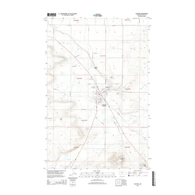
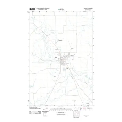 2011 Choteau2011 Print · USGSCovers Truchot Hill, including Choteau, Teton County, and other nearby areas
 - 2014 Map of Choteau, 2014 Print
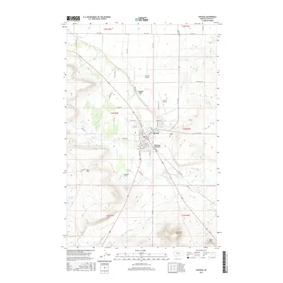
 2014 Choteau2014 Print · USGSCovers Truchot Hill, including Choteau, Teton County, and other nearby areas
 - 2017 Map of Choteau, 2017 Print
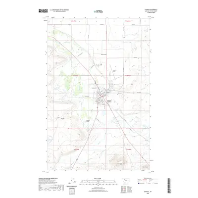
 2017 Choteau2017 Print · USGSCovers Truchot Hill, including Choteau, Teton County, and other nearby areas
 - 2020 Map of Choteau, 2020 Print
 2020 Choteau2020 Print · USGSCovers Truchot Hill, including Choteau, Teton County, and other nearby areas
 - 2024 Map of Choteau, 2024 Print
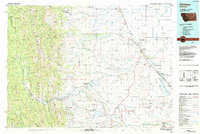
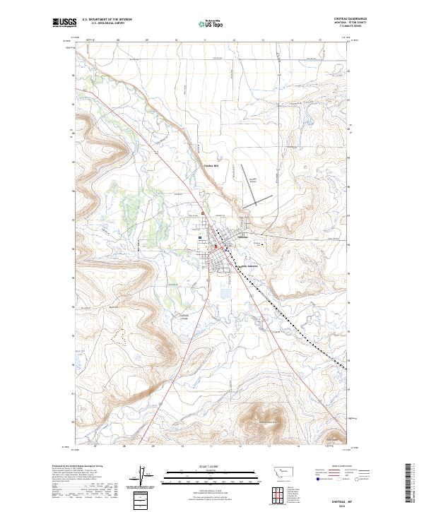 2024 Choteau2024 Print · USGSThe Teton County seat at Choteau comes into clear focus in this 2024 topographic survey of the Montana plains. Researchers can trace the sophisticated irrigation network of the Cascade Canal and S-T Canal or locate local landmarks like Choteau Cem and Priest Butte.
End of results
Showing maps 1-14 of 14
Top cities near Truchot Hill
Frequently asked questions
- What are the different types of historical maps available for Truchot Hill?
- What is the oldest map of Truchot Hill?
- Where can I purchase historical maps of Truchot Hill for my home or office?
- Where can I download high-res historical maps of Truchot Hill?
- Are there historical topographic maps available for Truchot Hill?
- Is there historical aerial imagery available for Truchot Hill?
- Where are historical maps of Truchot Hill sourced from?