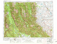
1955 Map of Choteau
USGS Topo · Published 1978About this map
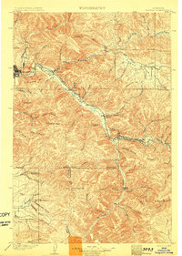
The Continental Divide serves as the central spine for this 1950s survey, marking the dramatic transition from the high wilderness of the Bob Marshall Wilderness and Scapegoat Wilderness to the eastern plains. On the western slope, the Flathead National Forest and Lolo National Forest cover a landscape of high peaks like McDonald Peak and significant water bodies including Swan Lake and Lindbergh Lake. Here, the timber and USFS presence at Condon define the local economy and geography.
Find a feature on this map
212 named features on this map. Tap any name to fly to it.
Don’t see what you’re looking for? This feature index may not catch every label — zoom into the map to look around manually.
Map Details
Editions of this 1955 Choteau Map
This is the sole edition of this map. No revisions or reprints were ever made.
Other maps of this area

1886 · Great Falls
USGS Topo · 1:250,000

1886 · Fort Logan
USGS Topo · 1:250,000

1889 · Helena
USGS Topo · 1:250,000

1893 · Helena
USGS Topo · 1:250,000

1899 · Helena
USGS Topo · 1:250,000
1902 · Ovando
USGS Topo · 1:125,000
1903 · Saypo
USGS Topo · 1:125,000
1903 · Coopers Lake
USGS Topo · 1:125,000
1903 · Bonner
USGS Topo · 1:125,000

1903 · Helena
USGS Topo · 1:250,000