Old Maps of Kenesaw, Nebraska for Hiking & Exploration
Hike through history with 16 historic maps of Kenesaw. Explore old trails, ghost towns, and forgotten backroads — perfect for outdoor adventurers and local explorers.
- Rediscover forgotten places: Map out old mining camps, roads, and footpaths that no longer exist on modern maps.
- Layer with modern tools: Combine with LiDAR or satellite views to plan hikes through historical terrain.
- Made for exploration: Popular among hikers, overlanders, and local history lovers.
Use these maps to find adventure and explore the hidden past of Kenesaw.
Kenesaw, NE maps
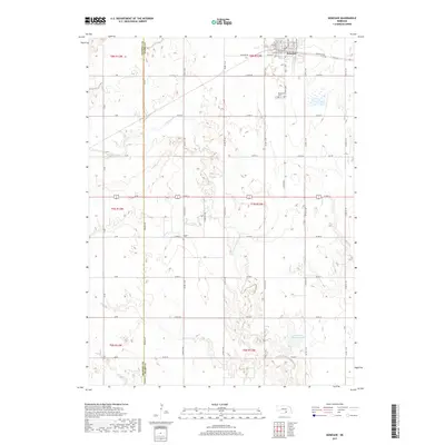
(16)- 1894 Map of Kenesaw
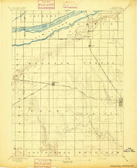 1894 Kenesaw1894 Print · USGSRailroad development and the complex channels of the Platte River dominate the Nebraska landscape in the 1890s. Genealogists and historians can trace the early town plats of Kenesaw and Juniata or locate the historic Wood River Bridge.
 - 1896 Map of Wood River
 1896 Wood River1896 Print · USGSCentral Nebraska at the close of the nineteenth century is defined by its massive river islands and burgeoning rail towns. Local historians can trace early prairie commerce through the rail lines connecting Wood River, Shelton, and the distinctive Sugar Bowl terrain.4 unique versions available
 - 1955 Map of Grand Island, 1967 Print
 1955 Grand Island1967 Print · USGSCentral Nebraska is seen here during a period of industrial and agricultural growth, centered on the vital Platte River corridor. Researchers can trace the mid-century footprints of the U S Naval Ammunition Depot and the Cornhusker Ordnance Plant.3 unique versions available
 - 1957 Map of Grand Island
 1957 Grand Island1957 Print · USGSCentral Nebraska and Northern Kansas are shown here during a period of massive hydraulic and military expansion in the mid-fifties. Researchers can trace the development of the Harlan County Reservoir and the massive wartime legacy of the Cornhusker Ordnance Plant.
 - 1958 Map of Grand Island
 1958 Grand Island1958 Print · USGSSouth-central Nebraska thrived as a rail and industrial hub during the late fifties, shaped by the braided Platte River. Genealogists and historians can trace rail lines like the Union Pacific RR through towns such as Kearney or locate the sprawling Cornhusker Ordnance Plant.
 - 1962 Map of Denman, 1963 Print
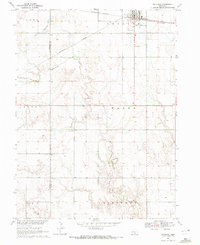
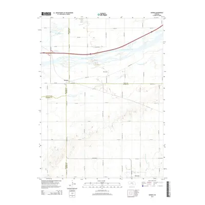
 1962 Denman1963 Print · USGSThe braided Platte River channels define this Nebraska landscape in the early sixties as agricultural irrigation and modern highways transformed the valley. Genealogists and rail historians can trace the paths of the Union Pacific and Chicago Burlington and Quincy through Denman and Kenesaw.3 unique versions available
 - 1969 Map of Kenesaw, 1972 Print
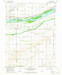
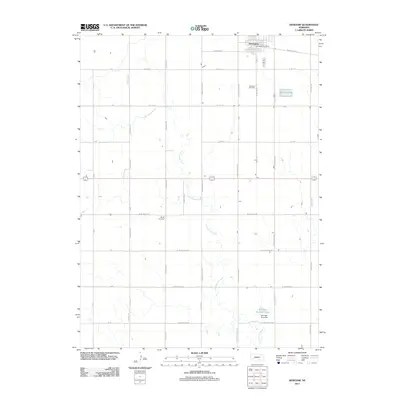
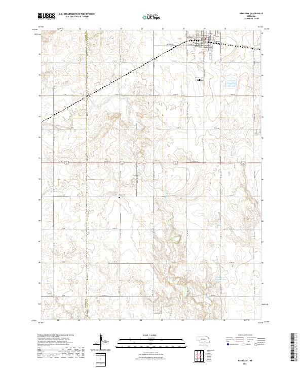
 1969 Kenesaw1972 Print · USGSAgricultural life in Adams County during the late sixties is centered on the railroad town of Kenesaw. Genealogists and local historians can trace family ties at the Kenesaw Cem and Shiloh Cem, or locate the isolated Grave site near Cottonwood Creek.
 - 1985 Map of Grand Island
 1985 Grand Island1985 Print · USGSThe Platte River valley in the mid-eighties shows a landscape of braided river channels and massive military-industrial sites. Trace the layout of the Cornhusker Ordnance Plant and find family landmarks like Parkview Cem or Good Samaritan Village.2 unique versions available
 - 2011 Map of Denman, 2011 Print
 2011 Denman2011 Print · USGSCovers Kenesaw, including Denman, Hall County, and other nearby areas
 - 2011 Map of Kenesaw, 2011 Print
 2011 Kenesaw2011 Print · USGSCovers Kenesaw, including Adams County, Kearney County, and other nearby areas
 - 2014 Map of Denman, 2014 Print
 2014 Denman2014 Print · USGSCovers Kenesaw, including Denman, Hall County, and other nearby areas
 - 2014 Map of Kenesaw, 2014 Print
 2014 Kenesaw2014 Print · USGSCovers Kenesaw, including Adams County, Kearney County, and other nearby areas
 - 2017 Map of Denman, 2017 Print
 2017 Denman2017 Print · USGSCovers Kenesaw, including Denman, Hall County, and other nearby areas
 - 2017 Map of Kenesaw, 2017 Print
 2017 Kenesaw2017 Print · USGSCovers Kenesaw, including Adams County, Kearney County, and other nearby areas
 - 2021 Map of Kenesaw, 2021 Print
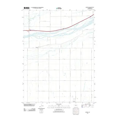
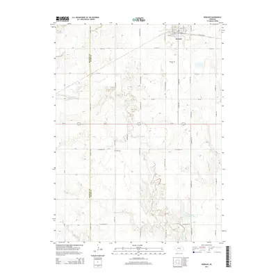
 2021 Kenesaw2021 Print · USGSAdams County agriculture and the rail-oriented town of Kenesaw are detailed in this recent survey. Local historians can trace cemetery locations like Shiloh Cem or follow the path of Cottonwood Cr across the county line.
 - 2021 Map of Denman, 2021 Print
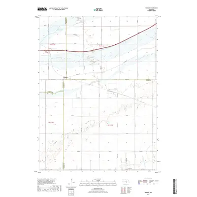
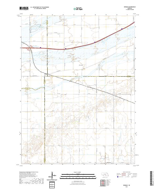 2021 Denman2021 Print · USGSThe braided Platte River system dominates this corner of Adams and Buffalo counties in the early 2020s. Genealogists and researchers can trace the rural landscape surrounding Kenesaw and Denman, noting landmarks like Elm Island and Dry Cr.
End of results
Showing maps 1-16 of 16
Top cities near Kenesaw
- Hastings historical maps
- Gibbon historical maps
- Wood River historical maps
- Shelton historical maps
- Juniata historical maps
- Roseland historical maps
See more
Frequently asked questions
- What are the different types of historical maps available for Kenesaw?
- What is the oldest map of Kenesaw?
- Where can I purchase historical maps of Kenesaw for my home or office?
- Where can I download high-res historical maps of Kenesaw?
- Are there historical topographic maps available for Kenesaw?
- Is there historical aerial imagery available for Kenesaw?
- Where are historical maps of Kenesaw sourced from?