Old Maps of Bucktail, Nebraska for Hiking & Exploration
Hike through history with 12 historic maps of Bucktail. Explore old trails, ghost towns, and forgotten backroads — perfect for outdoor adventurers and local explorers.
- Rediscover forgotten places: Map out old mining camps, roads, and footpaths that no longer exist on modern maps.
- Layer with modern tools: Combine with LiDAR or satellite views to plan hikes through historical terrain.
- Made for exploration: Popular among hikers, overlanders, and local history lovers.
Use these maps to find adventure and explore the hidden past of Bucktail.
Bucktail, NE maps
(12)- 1949 Map of Flats, 1974 Print
 1949 Flats1974 Print · USGSMcPherson County ranching life is frozen in time during the late 1940s, showing a landscape defined by cattle operations and remote schoolhouses. Researchers can locate family landmarks like Bassett Ranch, Center Valley Church, and the Diamond Bar Ranch.
 - 1950 Map of Flats
 1950 Flats1950 Print · USGSMcPherson County and the surrounding Sandhills were defined by isolated cattle operations and small rural school districts at the midpoint of the century. Genealogists and local historians can trace family-named sites like Stickney Ranch, Wood Ranch, and School No 45.2 unique versions available
 - 1954 Map of North Platte, 1968 Print
 1954 North Platte1968 Print · USGSThe Nebraska Sand Hills and the Platte River valley are captured here during a period of mid-century growth and agricultural expansion. Trace the vast irrigation network of the Sutherland Canal, locate old rural schoolhouses like Rose Hill School, and find family holdings such as Conrey Ranch.3 unique versions available
 - 1956 Map of North Platte
 1956 North Platte1956 Print · USGSThe Nebraska Sand Hills meet the high plains river valleys in the mid-1950s, a period of intensive water management and rail commerce. Genealogists and historians can trace early prairie settlements like Stapleton and Tryon, or follow the industrial corridor of the Union Pacific through North Platte.
 - 1957 Map of North Platte
 1957 North Platte1957 Print · USGSThe Nebraska Sand Hills and the Platte River valley are captured here in the mid-fifties as the ranching and irrigation economy matured. Genealogists and historians can locate family-named schoolhouses like Maire School or trace the railroad hubs at North Platte and the Fort McPherson National Cemetery.
 - 1967 Map of North Platte
 1967 North Platte1967 Print · USGSThe Nebraska Sand Hills and the Platte River valley meet in the 1960s, showing a landscape shaped by water management and rail. Genealogists can trace rural school districts like the Prairie Dell School or find landmarks like the Scott Lookout Tower and Geo P Kingsley Dam.
 - 1985 Map of Arthur
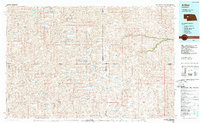 1985 Arthur1985 Print · USGSThe Nebraska Sandhills in the mid-1980s reveal a landscape of remote cattle ranches and hidden basins between Arthur and Hyannis. Genealogists and historians can trace family-named landmarks and private airfields like the Pioneer Ranch Landing Strip and Haythorn Lake.2 unique versions available
 - 1985 Map of Bucktail, 1986 Print
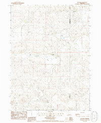 1985 Bucktail1986 Print · USGSArthur and McPherson Counties in the mid-1980s reveal a remote landscape of Sandhills ranching and isolated homesteads. Genealogists can locate family-named sites like Sunnyside Ranch, Sizer Ranch, and the small community of Bucktail.
 - 2011 Map of Bucktail, 2011 Print
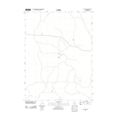 2011 Bucktail2011 Print · USGSArthur County cattle country is shown here in the early twenty-first century, centered on the ranching community of Bucktail. Local historians and genealogists can trace family holdings like Sizer Ranch and Sunnyside Ranch along roads like Whitman Rd.
 - 2014 Map of Bucktail, 2014 Print
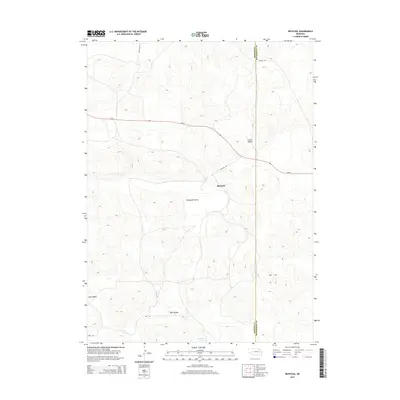 2014 Bucktail2014 Print · USGSArthur and McPherson counties come together at the settlement of Bucktail in this recent survey of the Nebraska sandhills. Researchers can trace the rural road network and isolated water sources like Bucktail Lake while exploring the topography of Sunnyside Valley.
 - 2017 Map of Bucktail, 2017 Print
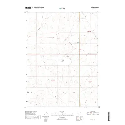 2017 Bucktail2017 Print · USGSArthur and McPherson Counties are captured in this recent survey of Nebraska's high plains and cattle country. Researchers can trace rural routes like Bucktail Rd and Storer Rd through local landmarks such as Sunnyside Valley and Bucktail.
 - 2021 Map of Bucktail, 2021 Print
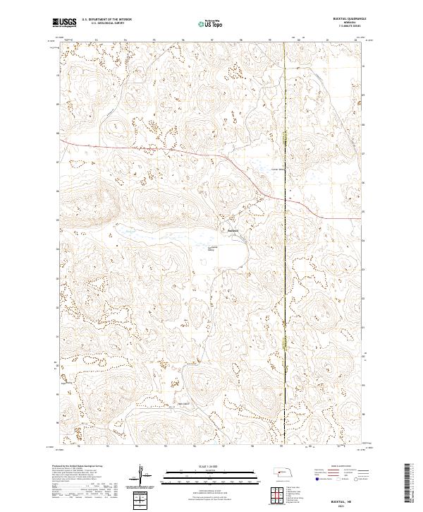 2021 Bucktail2021 Print · USGSArthur and McPherson Counties are mapped in 2021, showing the rural ranching landscape of the Nebraska Sandhills. Researchers can trace family-named landmarks like Mell Valley and Loyd Valley or locate the settlement of Bucktail near Eaton Lake.
End of results
Showing maps 1-12 of 12
Frequently asked questions
- What are the different types of historical maps available for Bucktail?
- What is the oldest map of Bucktail?
- Where can I purchase historical maps of Bucktail for my home or office?
- Where can I download high-res historical maps of Bucktail?
- Are there historical topographic maps available for Bucktail?
- Is there historical aerial imagery available for Bucktail?
- Where are historical maps of Bucktail sourced from?