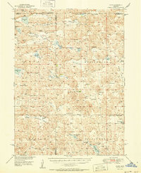
1950 Map of Flats
USGS Topo · Published 1950About this map
Sandhills ranching culture dominates this mid-century landscape where the borders of Grant, Arthur, Hooker, and McPherson counties converge. The terrain is defined by a series of distinct valleys, including Bassett Valley, Coyote Valley, and Cottonwood Valley, which provide the foundation for a network of established cattle operations. Named family holdings such as Bassett Ranch, Den Ranch, and the Diamond Bar Ranch are interspersed with isolated civic markers like Center Valley Ch and School No 45.
Find a feature on this map
51 named features on this map. Tap any name to fly to it.
Don’t see what you’re looking for? This feature index may not catch every label — zoom into the map to look around manually.
Map Details
Editions of this 1950 Flats Map
2 editions found
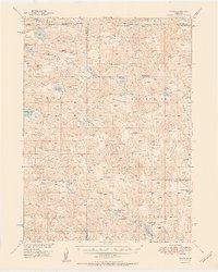
Other maps of this area
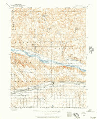
1897 · Ogallala
USGS Topo · 1:125,000
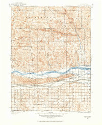
1898 · Paxton
USGS Topo · 1:125,000
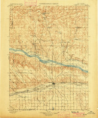
1900 · Ogallala
USGS Topo · 1:125,000
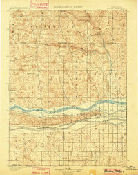
1901 · Paxton
USGS Topo · 1:125,000
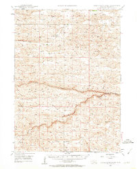
1947 · Dismal River Ranch
USGS Topo · 1:62,500
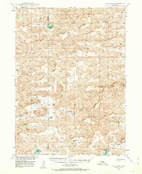
1948 · Carr Lake
USGS Topo · 1:62,500
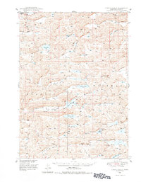
1948 · Spring Valley
USGS Topo · 1:62,500
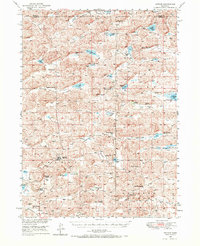
1949 · Arthur
USGS Topo · 1:62,500
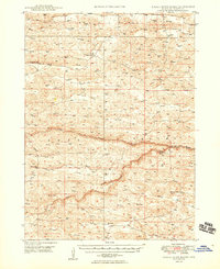
1949 · Dismal River Ranch
USGS Topo · 1:62,500
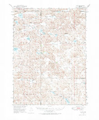
1949 · Flats
USGS Topo · 1:62,500