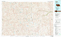
1985 Map of Arthur
USGS Topo · Published 1985About this map
The Nebraska Sandhills define this mid-1980s landscape, where the county seat of Arthur serves as a lone hub of settlement amidst a complex network of valleys and ephemeral lakes. The region's cattle-ranching heritage is evident through numerous private aviation facilities, including the Hawkins Ranch Airstrip, Meithew Airstrip, and Snyder Ranch Landing Strip. These remote outposts and the Municipal Airport suggest the vast distances managed by families in this central Nebraska panhandle area during the late twentieth century.
Find a feature on this map
88 named features on this map. Tap any name to fly to it.
Don’t see what you’re looking for? This feature index may not catch every label — zoom into the map to look around manually.
Map Details
Editions of this 1985 Arthur Map
2 editions found
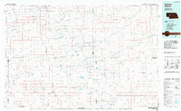
Other maps of this area
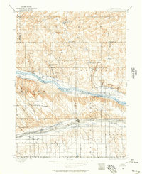
1897 · Ogallala
USGS Topo · 1:125,000
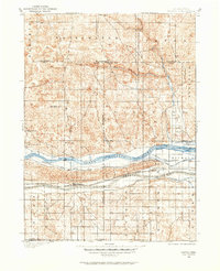
1898 · Paxton
USGS Topo · 1:125,000
1899 · North Platte
USGS Topo · 1:125,000
1900 · Chappell
USGS Topo · 1:125,000
1900 · Ogallala
USGS Topo · 1:125,000
1901 · Paxton
USGS Topo · 1:125,000
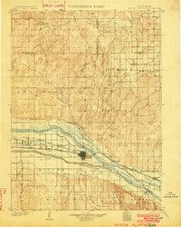
1902 · North Platte
USGS Topo · 1:125,000
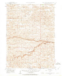
1947 · Dismal River Ranch
USGS Topo · 1:62,500
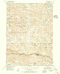
1948 · Seneca
USGS Topo · 1:62,500
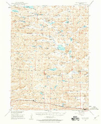
1948 · Ashby
USGS Topo · 1:62,500