Old Maps of Purdum, Nebraska for Academic Research
Study the evolution of Purdum with 10 high-resolution historic maps. Whether you're teaching, researching, or modeling changes in land use, these maps provide essential visual documentation of urban, environmental, and geographic change.
- Analyze long-term change: Track patterns in development, transportation, and natural features.
- Ideal for environmental or urban studies: Support academic projects with primary historical map data.
- Use in the classroom or lab: Educators and researchers rely on these maps to bring historical context to life.
These maps are a powerful tool for teaching, research, and visualizing how Purdum has changed over the decades.
Purdum, NE maps
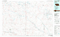
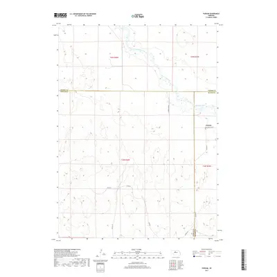
(10)- 1949 Map of Purdum, 1967 Print
 1949 Purdum1967 Print · USGSThe Nebraska Sandhills come into focus in the late 1940s as a region of remote ranching outposts and high prairie rivers. Researchers can locate dozens of historic family lands like the McMullen Ranch and Atkinson Ranch, or trace the rural school system through West Purdum Sch and Compton Sch.
 - 1951 Map of Purdum
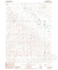
 1951 Purdum1951 Print · USGSThe Nebraska Sandhills in the early fifties come alive on this map of cattle country along the North Loup River. Family history and local landmarks abound, from the village of Purdum to the Walking Circle Ranch and rural anchors like Cascade Sch.
 - 1957 Map of Valentine, 1960 Print
 1957 Valentine1960 Print · USGSNorthern Nebraska's ranching country and the vast Sand Hills are detailed here in the late fifties. Genealogists and historians can locate numerous family-named landmarks like the Dahlgren Ranch and trace the path of the Chicago and North Western railroad through Valentine.3 unique versions available
 - 1959 Map of Valentine
 1959 Valentine1959 Print · USGSThe northern Nebraska Sand Hills are captured here in the late fifties, showcasing a vast ranching landscape shaped by the Niobrara and Loup rivers. Genealogists and historians can trace rail-town development along the Chicago and North Western and locate remote outposts like Brownlee or Kennedy.
 - 1985 Map of Goose Creek
 1985 Goose Creek1985 Print · USGSCentral Nebraska's Sandhills come into focus in the mid-eighties, showing a landscape of remote ranching outposts and wildlife preserves. Trace old rail routes and rural settlements like Brownlee, Seneca, and Purdum along the Goose Creek watershed.2 unique versions available
 - 1986 Map of Purdum
 1986 Purdum1986 Print · USGSThomas County ranching life is preserved in this mid-1980s survey of the Nebraska Sandhills. Genealogists and local historians can trace family land holdings such as Lowe Ranch, Martin Ranch, and the settlement of Purdum along the North Loup River.
 - 2011 Map of Purdum, 2011 Print
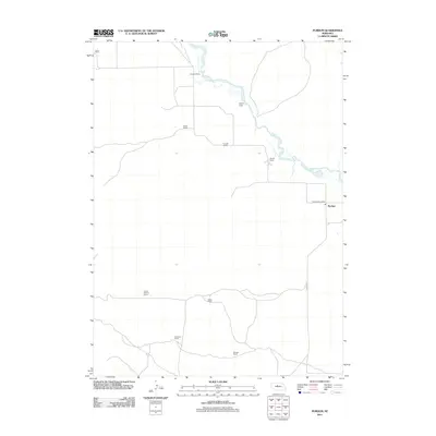 2011 Purdum2011 Print · USGSCovers Purdum, including Cherry County, Thomas County, and other nearby areas
 - 2014 Map of Purdum, 2014 Print
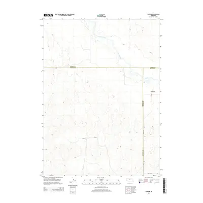 2014 Purdum2014 Print · USGSCovers Purdum, including Cherry County, Thomas County, and other nearby areas
 - 2017 Map of Purdum, 2017 Print
 2017 Purdum2017 Print · USGSCovers Purdum, including Cherry County, Thomas County, and other nearby areas
 - 2021 Map of Purdum, 2021 Print
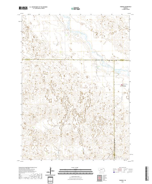 2021 Purdum2021 Print · USGSThe Nebraska Sandhills in the early 2020s remain defined by quiet ranching routes and the winding North Loup River. Researchers can trace the localized road network around Purdum and follow landmarks like Ryman Ln and Atkins Rd.
End of results
Showing maps 1-10 of 10
Top cities near Purdum
Frequently asked questions
- What are the different types of historical maps available for Purdum?
- What is the oldest map of Purdum?
- Where can I purchase historical maps of Purdum for my home or office?
- Where can I download high-res historical maps of Purdum?
- Are there historical topographic maps available for Purdum?
- Is there historical aerial imagery available for Purdum?
- Where are historical maps of Purdum sourced from?