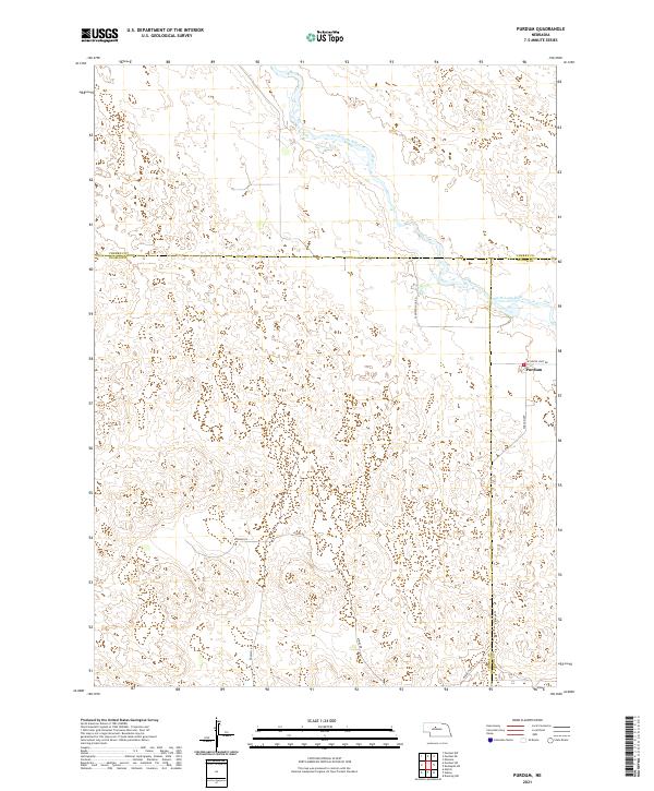
2021 Map of Purdum
USGS Topo · Published 2021About this map
Purdum sits as a primary point of reference in this pocket of the Nebraska Sandhills, located near the intersection of several county lines including Cherry Co Thomas Co and Thomas Co Blaine Co. The landscape is dominated by the winding path of the North Loup River, which cuts across the northern portion of the quadrangle. The road network reflects a remote ranching economy, with routes like Purdum Ave and W North Loup Rd providing essential connections through the undulating terrain. Family and local history researchers can trace land divisions and access points via Atkins Rd and Rosehill Rd, which navigate the various sections and ranges that define this sparsely populated region. This modern survey demonstrates the enduring significance of these small communities and the geography of the river valley in maintaining local connectivity.
Find a feature on this map
15 named features on this map. Tap any name to fly to it.
Don’t see what you’re looking for? This feature index may not catch every label — zoom into the map to look around manually.
Map Details
Editions of this 2021 Purdum Map
This is the sole edition of this map. No revisions or reprints were ever made.
Other maps of this area

1948 · Halsey
USGS Topo · 1:62,500

1949 · Purdum
USGS Topo · 1:62,500

1949 · Koshopah
USGS Topo · 1:62,500

1950 · Halsey
USGS Topo · 1:62,500

1951 · Dunning
USGS Topo · 1:62,500

1951 · Purdum
USGS Topo · 1:62,500

1951 · Koshopah
USGS Topo · 1:62,500

1954 · North Platte
USGS Topo · 1:250,000

1956 · North Platte
USGS Topo · 1:250,000

1957 · North Platte
USGS Topo · 1:250,000