Old Maps of Johnstown, Nebraska for Academic Research
Study the evolution of Johnstown with 9 high-resolution historic maps. Whether you're teaching, researching, or modeling changes in land use, these maps provide essential visual documentation of urban, environmental, and geographic change.
- Analyze long-term change: Track patterns in development, transportation, and natural features.
- Ideal for environmental or urban studies: Support academic projects with primary historical map data.
- Use in the classroom or lab: Educators and researchers rely on these maps to bring historical context to life.
These maps are a powerful tool for teaching, research, and visualizing how Johnstown has changed over the decades.
Johnstown, NE maps
(9)- 1950 Map of Wood Lake, 1952 Print
 1950 Wood Lake1952 Print · USGSThe Cherry County ranchlands come into focus at mid-century, where the Chicago and North Western railroad connects isolated Nebraska prairie towns. Genealogists and local historians can trace family-named estates like Shepard Ranch and Anderson Ranch or locate rural landmarks such as Woodlawn Cem and School No 84 North.2 unique versions available
 - 1957 Map of Valentine, 1960 Print
 1957 Valentine1960 Print · USGSNorthern Nebraska's ranching country and the vast Sand Hills are detailed here in the late fifties. Genealogists and historians can locate numerous family-named landmarks like the Dahlgren Ranch and trace the path of the Chicago and North Western railroad through Valentine.3 unique versions available
 - 1959 Map of Valentine
 1959 Valentine1959 Print · USGSThe northern Nebraska Sand Hills are captured here in the late fifties, showcasing a vast ranching landscape shaped by the Niobrara and Loup rivers. Genealogists and historians can trace rail-town development along the Chicago and North Western and locate remote outposts like Brownlee or Kennedy.
 - 1985 Map of Valentine
 1985 Valentine1985 Print · USGSThe Nebraska Sandhills in the mid-1980s reveal a landscape of vast wildlife refuges and rail-linked prairie towns. Researchers can trace the Chicago and North Western corridor through Kilgore and Valentine or locate remote landmarks like Snake River Falls.2 unique versions available
 - 1985 Map of Johnstown, 1986 Print
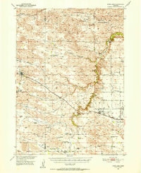
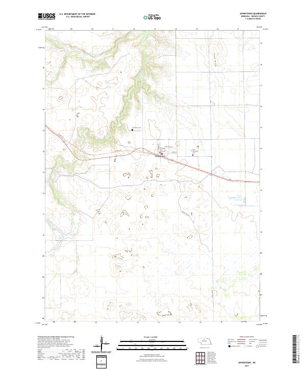
 1985 Johnstown1986 Print · USGSThe Brown County Sandhills are captured here in the 1980s, showing the intersection of ranching life and essential water infrastructure. Genealogists and researchers can locate the Johnstown townsite, the local Cem, and the Ainsworth Municipal Airport.
 - 2011 Map of Johnstown, 2011 Print
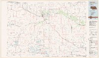
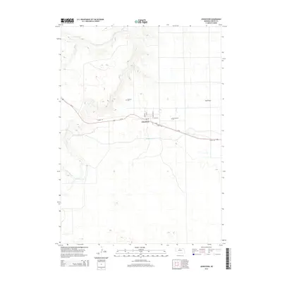
 2011 Johnstown2011 Print · USGSCovers Johnstown, including Brown County, United States, and other nearby areas
 - 2014 Map of Johnstown, 2014 Print
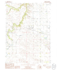
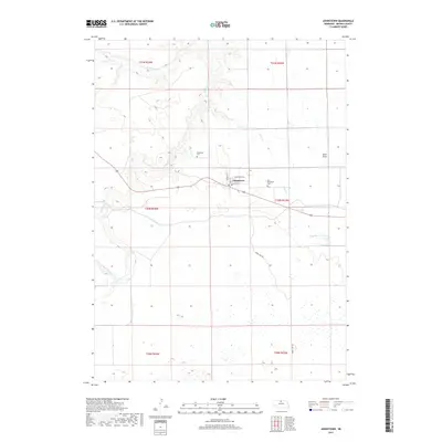
 2014 Johnstown2014 Print · USGSCovers Johnstown, including Brown County, United States, and other nearby areas
 - 2017 Map of Johnstown, 2017 Print
 2017 Johnstown2017 Print · USGSCovers Johnstown, including Brown County, United States, and other nearby areas
 - 2021 Map of Johnstown, 2021 Print
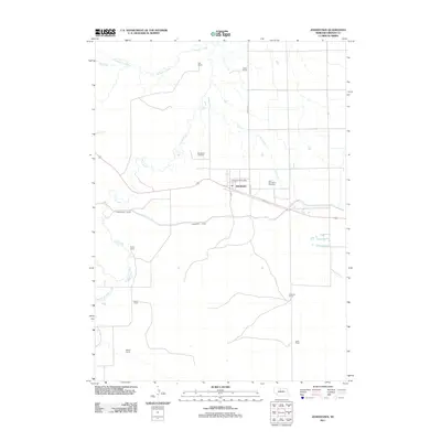
 2021 Johnstown2021 Print · USGSIn the Nebraska Sandhills of Brown County, this recent survey shows the village of Johnstown as it connects to the regional landscape via the Cowboy Trl. Researchers can trace local heritage at Woodlawn Cem and follow the path of the Ainsworth Canal.
End of results
Showing maps 1-9 of 9
Top cities near Johnstown
Frequently asked questions
- What are the different types of historical maps available for Johnstown?
- What is the oldest map of Johnstown?
- Where can I purchase historical maps of Johnstown for my home or office?
- Where can I download high-res historical maps of Johnstown?
- Are there historical topographic maps available for Johnstown?
- Is there historical aerial imagery available for Johnstown?
- Where are historical maps of Johnstown sourced from?