Old Maps of Sheens Trailer Court, Nebraska
Explore 11 old maps of Sheens Trailer Court, spanning from 1894 to today. These high-resolution historic maps reveal how streets, neighborhoods, landmarks, and natural features evolved over time — perfect for genealogy, metal detecting, research, and local history exploration.
What you can do with these maps:
- See how Sheens Trailer Court changed over time: Compare historical maps to modern-day views to trace roads, homesites, rail lines & more.
- View detailed metadata: Each map includes creators, publishers, year, scale, and archive source.
- Overlay maps with satellite & LiDAR: Visualize the past alongside modern tools to explore terrain & human change.
- Trusted historical sources: Maps sourced from the USGS, Library of Congress, and other archives.
- Access maps your way: View online, download high-res files, or order prints for personal or research use.
Start exploring old maps of Sheens Trailer Court to uncover forgotten places, hidden landmarks, and the deep history beneath your feet.
Sheens Trailer Court, NE maps
(11)- 1894 Map of Kearney
 1894 Kearney1894 Print · USGSKearney and the Platte River valley are captured in the late nineteenth century as a vital railroad junction and irrigation center. Genealogists and local historians can trace early settlements like Odessa and West Kearney, or study the complex river channels around Long Island and Evarts Island.2 unique versions available
 - 1896 Map of Kearney
 1896 Kearney1896 Print · USGSBuffalo County and the Platte River valley are captured in the late 1890s as the railroad network cemented the region's growth. Genealogists can locate family lands across townships like Williamsburg or trace the early paths of the Union Pacific R. R. and Kearney Canal.7 unique versions available
 - 1955 Map of Grand Island, 1967 Print
 1955 Grand Island1967 Print · USGSCentral Nebraska is seen here during a period of industrial and agricultural growth, centered on the vital Platte River corridor. Researchers can trace the mid-century footprints of the U S Naval Ammunition Depot and the Cornhusker Ordnance Plant.3 unique versions available
 - 1957 Map of Grand Island
 1957 Grand Island1957 Print · USGSCentral Nebraska and Northern Kansas are shown here during a period of massive hydraulic and military expansion in the mid-fifties. Researchers can trace the development of the Harlan County Reservoir and the massive wartime legacy of the Cornhusker Ordnance Plant.
 - 1958 Map of Grand Island
 1958 Grand Island1958 Print · USGSSouth-central Nebraska thrived as a rail and industrial hub during the late fifties, shaped by the braided Platte River. Genealogists and historians can trace rail lines like the Union Pacific RR through towns such as Kearney or locate the sprawling Cornhusker Ordnance Plant.
 - 1962 Map of Alfalfa Center, 1964 Print
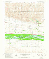 1962 Alfalfa Center1964 Print · USGSBuffalo County is shown during the early 1960s as a landscape in transition, where new highway construction began to parallel the historic rail lines. Researchers can trace rural school districts like School No 114 and family landmarks near Dove Hill Cem and Alfalfa Center.2 unique versions available
 - 1985 Map of Kearney
 1985 Kearney1985 Print · USGSMid-1980s Nebraska life centers on the fertile Platte River valley during a period of significant agricultural and hydraulic development. Researchers can trace irrigation networks like the Phelps County Canal and find regional landmarks from Johnson Lake to the Union Pacific rail lines.2 unique versions available
 - 2011 Map of Alfalfa Center, 2011 Print
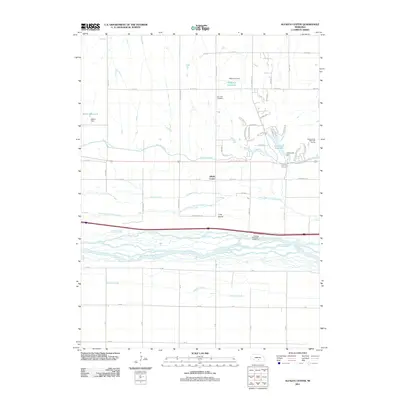 2011 Alfalfa Center2011 Print · USGSThe braided channels of the Platte River valley dominate this Nebraska landscape in the early twenty-first century. Researchers can trace the path of the Kearney Canal and locate local landmarks like Dove Hill Cemetery or the community of Alfalfa Center.
 - 2014 Map of Alfalfa Center, 2014 Print
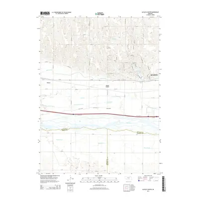 2014 Alfalfa Center2014 Print · USGSCentral Nebraska's river-bottom lands are shown here as they appeared in the early twenty-first century, just west of the growing city of Kearney. Researchers can trace the historic water management of the region through the Kearney Canal, the Dove Hill Cem, and the small settlement of Alfalfa Center.
 - 2017 Map of Alfalfa Center, 2017 Print
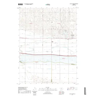 2017 Alfalfa Center2017 Print · USGSThe braided channels of the Platte River and the rural outskirts of Kearney are documented here in the early twenty-first century. Researchers can trace local landmarks like Dove Hill Cem, the Kearney Canal, and the agricultural community of Alfalfa Center.
 - 2021 Map of Alfalfa Center, 2021 Print
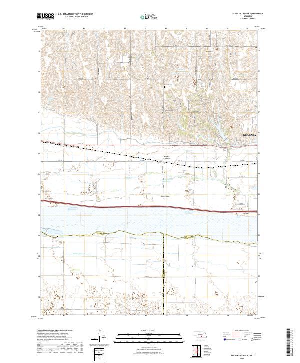 2021 Alfalfa Center2021 Print · USGSBuffalo County agriculture meets the Platte River valley in the early 2020s as the suburbs of the region's hub begin to expand. Genealogists and local historians can trace family plots at Dove Hill Cem and explore the complex hydrology of Long Island and the Kearney Canal.
End of results
Showing maps 1-11 of 11
Top cities near Sheens Trailer Court
- Kearney historical maps
- Minden historical maps
- Elm Creek historical maps
- Axtell historical maps
- Odessa historical maps
- Amherst historical maps
See more
Frequently asked questions
- What are the different types of historical maps available for Sheens Trailer Court?
- What is the oldest map of Sheens Trailer Court?
- Where can I purchase historical maps of Sheens Trailer Court for my home or office?
- Where can I download high-res historical maps of Sheens Trailer Court?
- Are there historical topographic maps available for Sheens Trailer Court?
- Is there historical aerial imagery available for Sheens Trailer Court?
- Where are historical maps of Sheens Trailer Court sourced from?