Old Maps of Precinct 6, Nebraska for Metal Detecting
Plan your next treasure hunt with 26 historic maps of Precinct 6. Find old homesites, ghost towns, trails, and gathering spots that may be lost to time — perfect for identifying promising metal detecting locations.
- Locate forgotten sites: Uncover places like long-lost settlements, abandoned rail lines, or gathering spots.
- Plan better hunts: Use map overlays combined with LiDAR or satellite views to narrow in on historically rich areas.
- Made for detectorists: Thousands of hobbyists use these maps to discover relics, coins, and hidden history.
Use these historic maps to boost your research and find new opportunities beneath the surface of Precinct 6.
Precinct 6, NE maps
(26)- 1955 Map of Sioux City, 1959 Print
 1955 Sioux City1959 Print · USGSThe Missouri River valley in the mid-fifties is captured here during a time of major engineering and social transition. Genealogists and historians can trace the foundations of Gavins Point Dam, tribal boundaries on the Santee Sioux Indian Reservation, and local landmarks like the Norfolk State Hospital.4 unique versions available
 - 1958 Map of Sioux City
 1958 Sioux City1958 Print · USGSThe Missouri River valley in the late fifties was a bustling intersection of tribal lands, rail corridors, and river towns. Genealogists can trace family roots through specific rural sites like Daisy Valley School, St Johns Church and School, and Yankton State Hospital.
 - 1959 Map of Sioux City
 1959 Sioux City1959 Print · USGSThe tri-state region surrounding the Missouri River is captured here in the late fifties, showing the convergence of Nebraska, South Dakota, and Iowa. Researchers can trace rural lineages through numerous country schoolhouses like Cemetery School and the many numbered Washington School districts.
 - 1968 Map of Obert, 1970 Print
 1968 Obert1970 Print · USGSNear the border of Cedar and Dixon counties in the late sixties, this survey captures the rural landscape centered on the village of Obert. Genealogists and local historians can locate the Brookey Bottom Sch, Sunny Lea Sch, and family burial sites at Lime Creek Cem.2 unique versions available
 - 1968 Map of St. Helena, 1971 Print
 1968 St. Helena1971 Print · USGSThe Nebraska-South Dakota borderlands along the Missouri River come alive in the late sixties, showing the river's path around St Helena Island. Genealogists can trace local roots at Bow Valley Mills, St Marys Sch, and St Helena Cem.
 - 1968 Map of Wynot, 1971 Print
 1968 Wynot1971 Print · USGSNortheastern Nebraska's creek valleys were captured in detail during the late sixties, showing the rural communities of Wynot and St James. Researchers can trace old property boundaries and locate local landmarks like Paragon Cem and several Gravel Pits along Bow Creek.
 - 1968 Map of Meckling, 1971 Print
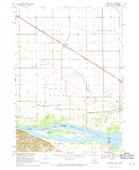 1968 Meckling1971 Print · USGSThe Missouri River bottomlands in the late sixties are anchored by the settlement of Meckling and the prominent Goat Island. Trace local family history through the sites of Bergen Ch, Norway Sch, and multiple country cemeteries.
 - 1985 Map of Yankton
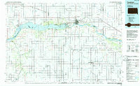 1985 Yankton1985 Print · USGSThe Missouri River borderlands of South Dakota and Nebraska come alive in this mid-eighties survey, centered on the newly created Lewis and Clark Lake. Researchers can trace the Santee Indian Reservation and locate historic river features like the St Helena Island Chute and Sand Island.2 unique versions available
 - 1994 Map of St. Helena, 1995 Print
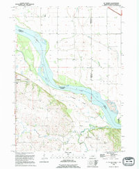 1994 St. Helena1995 Print · USGSThe Nebraska-South Dakota border along the Missouri River is captured here in the early nineties, revealing a landscape of shifting chutes and islands. Researchers can locate the St Helena Cem, the historic site of Bow Valley Mills, and the complex drainage of West Bow Creek.
 - 1994 Map of Meckling, 1995 Print
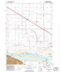 1994 Meckling1995 Print · USGSThe South Dakota and Nebraska borderlands come into focus in the 1990s as the Missouri River winds past Meckling. Genealogists can trace local roots at Bergen Ch or search for family sites at Evergreen Cem and Taylor Cem.
 - 2011 Map of Wynot, 2011 Print
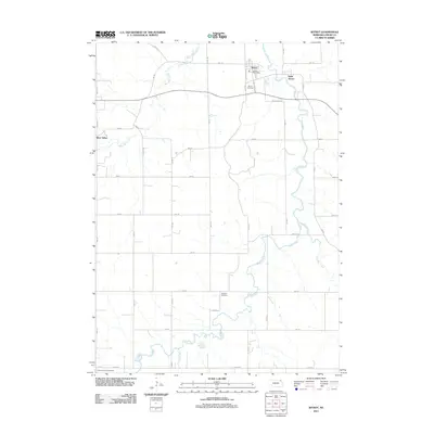 2011 Wynot2011 Print · USGSNorthwestern Cedar County in the early twenty-first century remains a landscape of tightly woven creek valleys and rural outposts. You can trace early family sites near Wynot Cemetery and Paragon Cemetery or follow the meandering course of Bow Creek.
 - 2011 Map of Saint Helena, 2011 Print
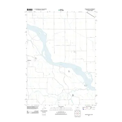 2011 Saint Helena2011 Print · USGSSaint Helena and the Missouri River borderlands are captured here in the early twenty-first century. Researchers can trace local heritage at Saint Helena Cemetery or follow the water-powered history of Bow Valley Mills on Bow Creek.
 - 2011 Map of Obert, 2011 Print
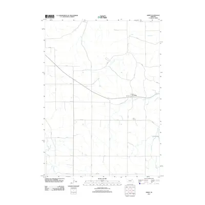 2011 Obert2011 Print · USGSThe village of Obert and its surrounding Cedar County farmsteads are documented here in the early twenty-first century. Researchers can locate the Obert Post Office, trace the path of Ames Creek, and find family sites near Obert Cemetery or Lime Creek Cemetery.
 - 2012 Map of Meckling, 2012 Print
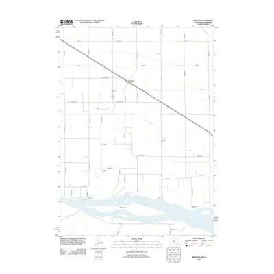 2012 Meckling2012 Print · USGSMeckling and the fertile bottoms of the Missouri River valley are captured here in the early twenty-first century. Genealogists and local historians can locate family plots at Meckling Cem and Taylor Cem or trace the river shoreline near Goat Island.
 - 2014 Map of Wynot, 2014 Print
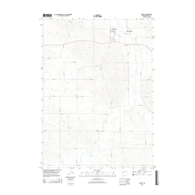 2014 Wynot2014 Print · USGSNortheastern Cedar County is captured here in the early twenty-first century, showing a rural landscape defined by its creek valleys. Genealogists and local historians can locate Wynot Cem and Paragon Cem, or trace the paths of W Bow Cr and Dead Cr.
 - 2014 Map of Obert, 2014 Print
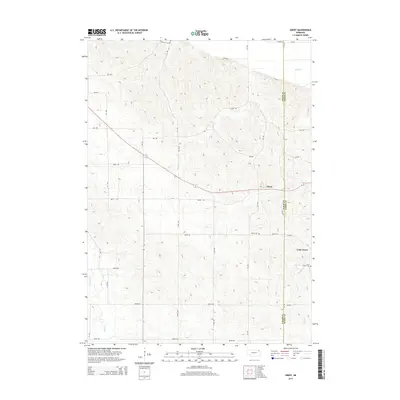 2014 Obert2014 Print · USGSNortheast Nebraska at the start of the 21st century remains defined by its quiet agricultural crossroads and creek-fed valleys. Genealogists and local historians can trace the rural communities of Obert and Lime Grove, and locate the Obert Cem and Lime Creek Cem.
 - 2014 Map of Saint Helena, 2014 Print
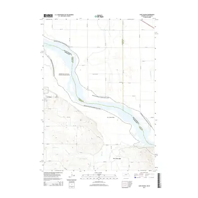 2014 Saint Helena2014 Print · USGSThe Missouri River borderlands near the Nebraska-South Dakota line are captured here in the early twenty-first century. Local historians can trace the rural communities of St. Helena and Bow Valley Mills alongside landmarks like Saint Helena Island and Saint Helena Cem.
 - 2015 Map of Meckling, 2015 Print
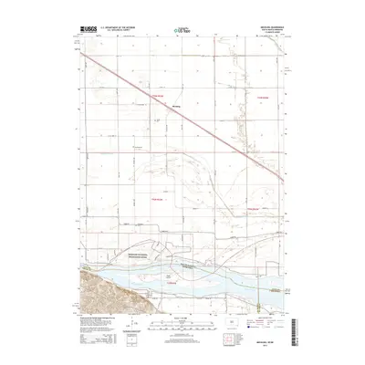 2015 Meckling2015 Print · USGSThe Missouri River bottomlands in Clay County appear here in detail during the mid-2010s. Researchers can trace family history at Taylor Cem or Evergreen Cem and explore the shifting banks around Goat Island.
 - 2017 Map of Wynot, 2017 Print
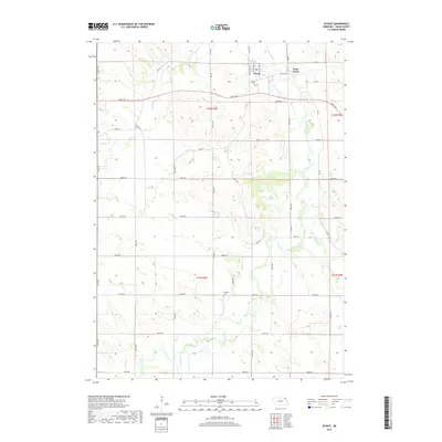 2017 Wynot2017 Print · USGSNortheast Nebraska's rural landscape comes into focus in this late twenty-first-century survey of the Bow Creek drainage. Genealogists and local historians can locate early burial sites at Wynot Cem and Paragon Cem or trace the settlement of Saint James.
 - 2017 Map of Saint Helena, 2017 Print
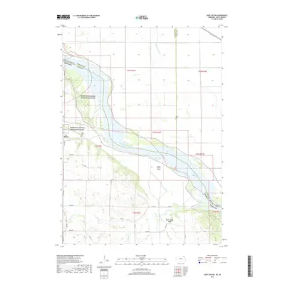 2017 Saint Helena2017 Print · USGSThe Missouri River borderlands of Cedar County are captured here in the late 2010s. Local researchers can trace the landscape around St. Helena, identifying family sites near Saint Helena Cemetery and the waters of Bow Creek.
 - 2017 Map of Obert, 2017 Print
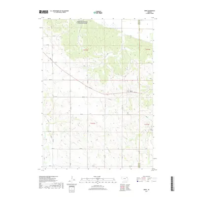 2017 Obert2017 Print · USGSNortheastern Nebraska's river bluffs and agricultural highlands are captured here during the late twenty-teens. Genealogists can locate family landmarks such as Obert Cem and Lime Creek Cem or trace the drainage of East Bow Creek toward the Missouri National Recreation River.
 - 2017 Map of Meckling, 2017 Print
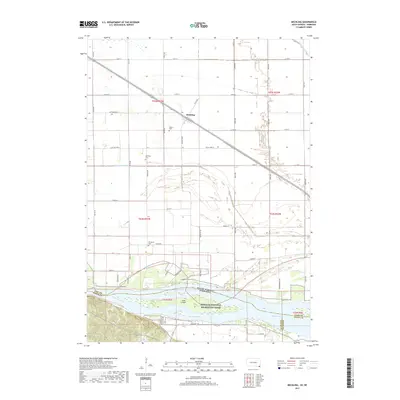 2017 Meckling2017 Print · USGSMeckling and the surrounding Clay County bottomlands are shown in the late 2010s, where the railroad and Missouri River shape the landscape. Local historians can trace family roots at Meckling Cem, Taylor Cem, and Evergreen Cem, or explore the riparian geography of Goat Island.
 - 2021 Map of Wynot, 2021 Print
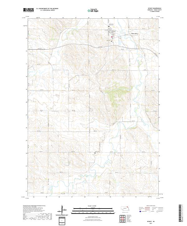 2021 Wynot2021 Print · USGSWynot and the surrounding Cedar County farmlands are captured here in the early twenty-first century as the region maintains its quiet agricultural character. Researchers can locate family burial sites at Wynot Cem and Paragon Cem or trace the winding banks of Bow Creek.
 - 2021 Map of Obert, 2021 Print
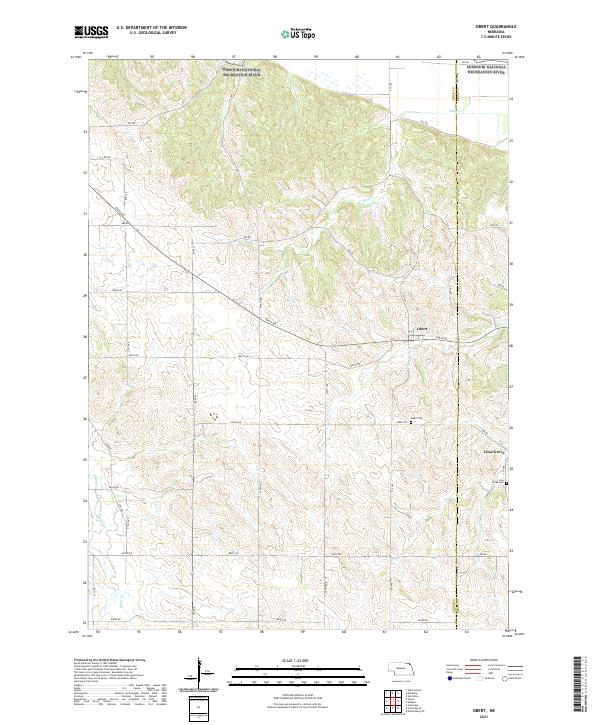 2021 Obert2021 Print · USGSNorthern Cedar County at the turn of the 21st century is characterized by its agricultural grid and the sweep of the Missouri National Recreation River. Researchers can locate old family burial sites at Obert Cem and trace the paths of East Bow Creek and the settlement of Lime Grove.
 - 2021 Map of Saint Helena, 2021 Print
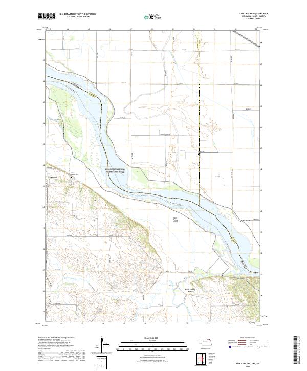 2021 Saint Helena2021 Print · USGSThe Missouri River borderlands of Cedar County appear in great detail during the early 2020s, showing the interaction between the braided river and the Nebraska bluffs. Genealogists can locate family landmarks like Saint Helena Cem or trace the early industrial site at Bow Valley Mills.
Showing maps 1-25 of 26
Top cities near Precinct 6
- Vermillion historical maps
- Hartington historical maps
- Gayville historical maps
- Newcastle historical maps
- Meckling historical maps
- Volin historical maps
See more
Frequently asked questions
- What are the different types of historical maps available for Precinct 6?
- What is the oldest map of Precinct 6?
- Where can I purchase historical maps of Precinct 6 for my home or office?
- Where can I download high-res historical maps of Precinct 6?
- Are there historical topographic maps available for Precinct 6?
- Is there historical aerial imagery available for Precinct 6?
- Where are historical maps of Precinct 6 sourced from?