Old Maps of Wauneta, Nebraska for Genealogy
Trace your family roots with 14 historic maps of Wauneta. These high-res maps reveal old neighborhoods, homesites, landmarks, and streets — helping you uncover where your ancestors lived and how the area evolved over time.
- Explore historic neighborhoods: Identify where your relatives may have lived in the 1800s or 1900s.
- Compare maps over time: Trace the changes in streets, buildings, and landmarks for multi-generational research.
- Perfect for genealogy & ancestry research: Used by family historians and researchers to map out lineage and migration.
These maps are an incredible resource for exploring your personal connection to Wauneta's past.
Wauneta, NE maps
(14)- 1954 Map of McCook, 1966 Print
 1954 McCook1966 Print · USGSSouthwest Nebraska in the mid-fifties reveals a landscape shaped by major water projects and the Chicago Burlington and Quincy RR. Trace ancestral roots and defunct rail stops in McCook, Wauneta, and along the shores of Swanson Lake.2 unique versions available
 - 1957 Map of McCook
 1957 McCook1957 Print · USGSSouthwestern Nebraska in the mid-fifties is captured here during a period of significant water development and rail-based commerce. Researchers can trace the path of the Chicago Burlington and Quincy through Indianola and Bartley, or locate rural settlements like Chase Village and Ough near the Sand Hills.
 - 1958 Map of McCook
 1958 McCook1958 Print · USGSSouthwest Nebraska during the late fifties reveals a landscape of massive new reservoirs and established rail hubs like McCook. Genealogists can trace family footprints through rural centers like St Johns Church and the many grain elevators along the Union Pacific RR.2 unique versions available
 - 1974 Map of Wauneta West, 1977 Print
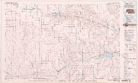
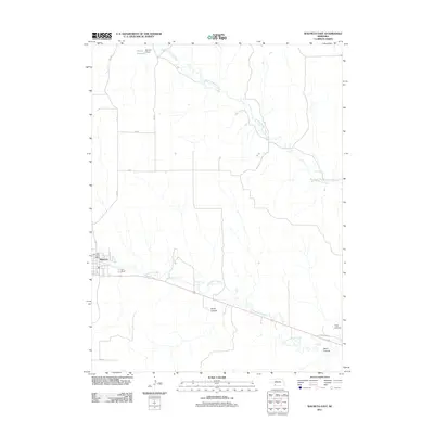
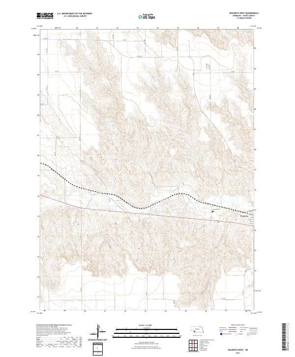
 1974 Wauneta West1977 Print · USGSChase County agricultural life and transit corridors are well-defined in the mid-1970s as the railroad follows the valley floor. Trace the community footprint of Wauneta alongside Frenchman Creek, the Burlington Northern tracks, and Riverside Cem.
 - 1974 Map of Wauneta East, 1977 Print
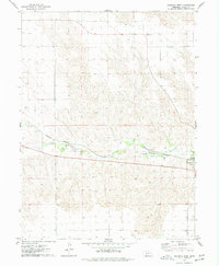
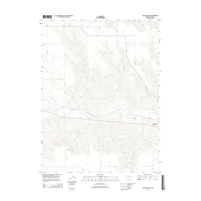
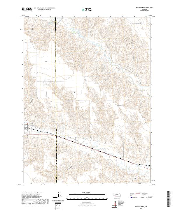
 1974 Wauneta East1977 Print · USGSNear the Chase and Hayes county line in the mid-1970s, the village of Wauneta thrives along the rail and river corridors of the Nebraska plains. Local researchers can trace the Burlington Northern rail line as it follows Frenchman Creek past several Radio Towers and deep draws like Trail Canyon.
 - 1979 Map of Benkelman
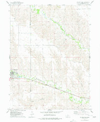
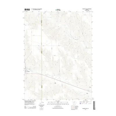
 1979 Benkelman1979 Print · USGSSouthwestern Nebraska in the late seventies is shown as a network of river-valley towns and high-plains ranching country. Genealogists and researchers can trace the rail corridor through Benkelman, Culbertson, and Haigler, or locate the reservoir lands at Enders.
 - 2011 Map of Wauneta West, 2011 Print
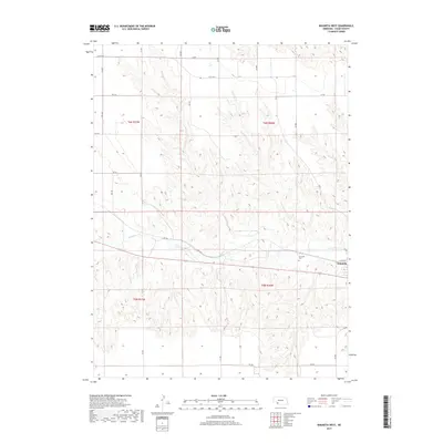
 2011 Wauneta West2011 Print · USGSCovers Wauneta, including Chase County, United States, and other nearby areas
 - 2011 Map of Wauneta East, 2011 Print
 2011 Wauneta East2011 Print · USGSCovers Wauneta, including Chase County, Hayes County, and other nearby areas
 - 2014 Map of Wauneta West, 2014 Print
 2014 Wauneta West2014 Print · USGSCovers Wauneta, including Chase County, United States, and other nearby areas
 - 2014 Map of Wauneta East, 2014 Print
 2014 Wauneta East2014 Print · USGSCovers Wauneta, including Chase County, Hayes County, and other nearby areas
 - 2017 Map of Wauneta West, 2017 Print
 2017 Wauneta West2017 Print · USGSCovers Wauneta, including Chase County, United States, and other nearby areas
 - 2017 Map of Wauneta East, 2017 Print
 2017 Wauneta East2017 Print · USGSCovers Wauneta, including Chase County, Hayes County, and other nearby areas
 - 2021 Map of Wauneta East, 2021 Print
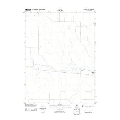
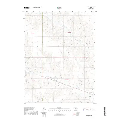
 2021 Wauneta East2021 Print · USGSThe village of Wauneta sits at the edge of a dissected plains landscape in the early twenty-first century. Genealogists and local historians can trace the rural road grid and canyon systems, from the waters of Moody Reservoir to the depths of Horse Canyon.
 - 2021 Map of Wauneta West, 2021 Print
 2021 Wauneta West2021 Print · USGSThe village of Wauneta and the surrounding Chase County plains are documented here in the early twenty-first century. Researchers can trace local property lines and site locations from Riverside Cem to rural routes like Old Hwy 6 and Rd 734.
End of results
Showing maps 1-14 of 14
Top cities near Wauneta
Frequently asked questions
- What are the different types of historical maps available for Wauneta?
- What is the oldest map of Wauneta?
- Where can I purchase historical maps of Wauneta for my home or office?
- Where can I download high-res historical maps of Wauneta?
- Are there historical topographic maps available for Wauneta?
- Is there historical aerial imagery available for Wauneta?
- Where are historical maps of Wauneta sourced from?