Old Maps of Brownson, Nebraska for Academic Research
Study the evolution of Brownson with 8 high-resolution historic maps. Whether you're teaching, researching, or modeling changes in land use, these maps provide essential visual documentation of urban, environmental, and geographic change.
- Analyze long-term change: Track patterns in development, transportation, and natural features.
- Ideal for environmental or urban studies: Support academic projects with primary historical map data.
- Use in the classroom or lab: Educators and researchers rely on these maps to bring historical context to life.
These maps are a powerful tool for teaching, research, and visualizing how Brownson has changed over the decades.
Brownson, NE maps
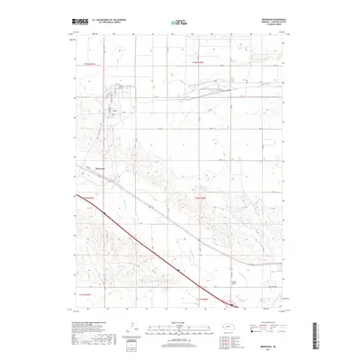
(8)- 1954 Map of Scottsbluff, 1958 Print
 1954 Scottsbluff1958 Print · USGSThe Nebraska Panhandle's iconic landmarks and rail corridors are captured here during the mid-1950s. Researchers can trace the path of the North Platte River past Chimney Rock or locate the sprawling Sioux Ordnance Depot and the historic streets of Sidney.3 unique versions available
 - 1958 Map of Scottsbluff
 1958 Scottsbluff1958 Print · USGSThe Nebraska panhandle in the late fifties was a vital corridor of rail-and-river transport defined by the North Platte River and the Union Pacific. Genealogists and historians can trace rail stops like Reddus Station, explore the grounds of the Sioux Ordnance Depot, or locate landmarks like Chimney Rock.2 unique versions available
 - 1972 Map of Brownson, 1975 Print
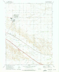 1972 Brownson1975 Print · USGSCheyenne County witnessed a period of industrial and military evolution in the 1970s as energy production and education repurposed the plains. You can trace the massive Abandoned Ammunition Depot, the campus of Western Nebraska Technical College, and the sprawling Oil Field.
 - 1985 Map of Kimball
 1985 Kimball1985 Print · USGSThe Nebraska-Colorado borderlands in the mid-1980s show a landscape of oil production and transcontinental rail. Trace the rail corridor through Bushnell, Dix, and Potter or locate the sprawling Ammunition Depot (Abandoned) near Brownson.2 unique versions available
 - 2011 Map of Brownson, 2011 Print
 2011 Brownson2011 Print · USGSCovers Brownson, including Cheyenne County, United States, and other nearby areas
 - 2014 Map of Brownson, 2014 Print
 2014 Brownson2014 Print · USGSCovers Brownson, including Cheyenne County, United States, and other nearby areas
 - 2017 Map of Brownson, 2017 Print
 2017 Brownson2017 Print · USGSCovers Brownson, including Cheyenne County, United States, and other nearby areas
 - 2021 Map of Brownson, 2021 Print
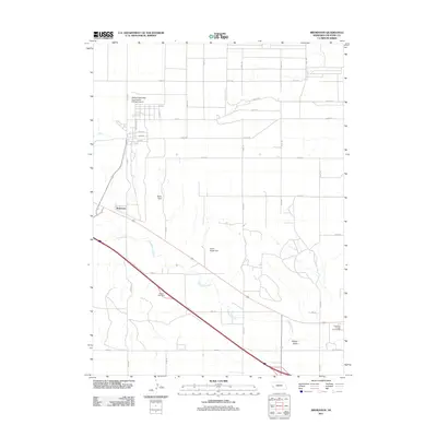
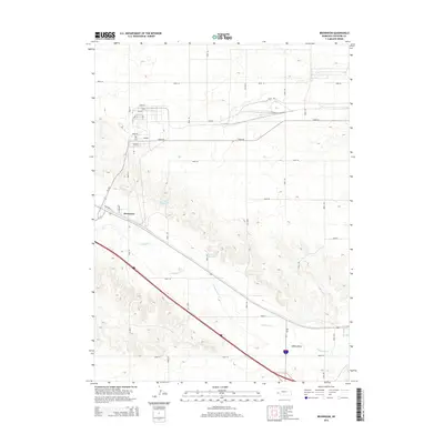
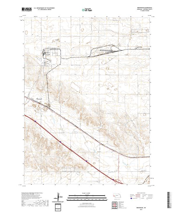 2021 Brownson2021 Print · USGSCheyenne County at the start of the 2020s shows a landscape of expansive rural grids and isolated settlements like Potter and Brownson. Genealogists and researchers can trace local routes and water features including Lodgepole Cr and Sidney Draw.
End of results
Showing maps 1-8 of 8
Top cities near Brownson
- Sidney historical maps
- Potter historical maps
- Dalton historical maps
- Peetz historical maps
- Gurley historical maps
- Lorenzo historical maps
Frequently asked questions
- What are the different types of historical maps available for Brownson?
- What is the oldest map of Brownson?
- Where can I purchase historical maps of Brownson for my home or office?
- Where can I download high-res historical maps of Brownson?
- Are there historical topographic maps available for Brownson?
- Is there historical aerial imagery available for Brownson?
- Where are historical maps of Brownson sourced from?