Old Maps of Mount Vernon, Nebraska for Hiking & Exploration
Hike through history with 9 historic maps of Mount Vernon. Explore old trails, ghost towns, and forgotten backroads — perfect for outdoor adventurers and local explorers.
- Rediscover forgotten places: Map out old mining camps, roads, and footpaths that no longer exist on modern maps.
- Layer with modern tools: Combine with LiDAR or satellite views to plan hikes through historical terrain.
- Made for exploration: Popular among hikers, overlanders, and local history lovers.
Use these maps to find adventure and explore the hidden past of Mount Vernon.
Mount Vernon, NE maps
(9)- 1954 Map of Scottsbluff, 1958 Print
 1954 Scottsbluff1958 Print · USGSThe Nebraska Panhandle's iconic landmarks and rail corridors are captured here during the mid-1950s. Researchers can trace the path of the North Platte River past Chimney Rock or locate the sprawling Sioux Ordnance Depot and the historic streets of Sidney.3 unique versions available
 - 1958 Map of Scottsbluff
 1958 Scottsbluff1958 Print · USGSThe Nebraska panhandle in the late fifties was a vital corridor of rail-and-river transport defined by the North Platte River and the Union Pacific. Genealogists and historians can trace rail stops like Reddus Station, explore the grounds of the Sioux Ordnance Depot, or locate landmarks like Chimney Rock.2 unique versions available
 - 1972 Map of Easterly Airport, 1975 Print
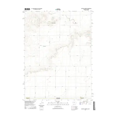
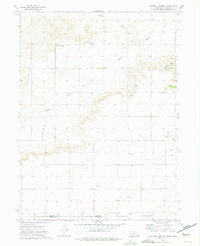 1972 Easterly Airport1975 Print · USGSThe Nebraska-Colorado state line is captured here in the early 1970s, showcasing a landscape of high plains ranching and active oil exploration. Researchers can locate the Mount Vernon Community Center, the Easterly Airport, and the seasonal paths of Sand Draw.
 - 1985 Map of Kimball
 1985 Kimball1985 Print · USGSThe Nebraska-Colorado borderlands in the mid-1980s show a landscape of oil production and transcontinental rail. Trace the rail corridor through Bushnell, Dix, and Potter or locate the sprawling Ammunition Depot (Abandoned) near Brownson.2 unique versions available
 - 2010 Map of Easterly Airport, 2010 Print
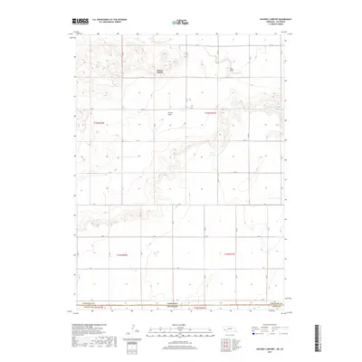
 2010 Easterly Airport2010 Print · USGSCovers Mount Vernon, including Logan County, Cheyenne County, and other nearby areas
 - 2011 Map of Easterly Airport, 2011 Print
 2011 Easterly Airport2011 Print · USGSCovers Mount Vernon, including Logan County, Cheyenne County, and other nearby areas
 - 2014 Map of Easterly Airport, 2014 Print
 2014 Easterly Airport2014 Print · USGSCovers Mount Vernon, including Logan County, Cheyenne County, and other nearby areas
 - 2017 Map of Easterly Airport, 2017 Print
 2017 Easterly Airport2017 Print · USGSCovers Mount Vernon, including Logan County, Cheyenne County, and other nearby areas
 - 2021 Map of Easterly Airport, 2021 Print
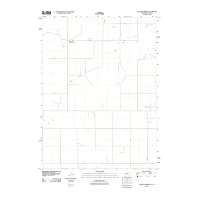
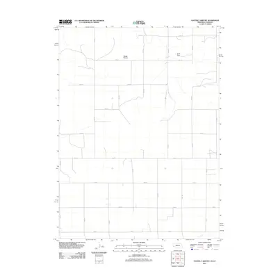
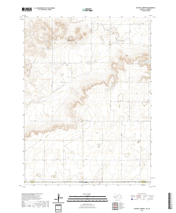 2021 Easterly Airport2021 Print · USGSThe high plains of the Nebraska-Colorado border are documented here in the early twenty-first century. Genealogists and land researchers can trace property boundaries and road networks near Mount Vernon, Chambers Spring, and the winding path of Sidney Draw.
End of results
Showing maps 1-9 of 9
Top cities near Mount Vernon
- Sidney historical maps
- Potter historical maps
- Peetz historical maps
- Gurley historical maps
- Lorenzo historical maps
Frequently asked questions
- What are the different types of historical maps available for Mount Vernon?
- What is the oldest map of Mount Vernon?
- Where can I purchase historical maps of Mount Vernon for my home or office?
- Where can I download high-res historical maps of Mount Vernon?
- Are there historical topographic maps available for Mount Vernon?
- Is there historical aerial imagery available for Mount Vernon?
- Where are historical maps of Mount Vernon sourced from?