2020s Maps of Cuming County, Nebraska
Explore 20 historic maps of Cuming County from the 2020s. These maps offer a rare glimpse into what life looked like during the 2020s — showing old roads, neighborhoods, homes, and landmarks that have changed or disappeared over time.
Whether you're researching your family's past, planning a metal detecting trip, or studying how Cuming County's landscape evolved across the 2020s, these high-resolution maps are a powerful tool for exploring the history of this region.
- Focus on a specific era: All maps on this page are from the 2020s, giving you a focused view of this time period.
- See what’s changed: Compare century-old streets, trails, and buildings to today's modern landscape using overlays and satellite layers.
- Research with precision: Use these maps for genealogy, historical research, land use analysis, or educational projects.
- View, download, or print: Maps are fully viewable online in high resolution, and can be downloaded or printed for your own records.
Start exploring Cuming County's history through authentic maps from the 2020s. This is your window into the past.
Cuming County, NE maps
(20)- 2021 Map of Pender, 2021 Print
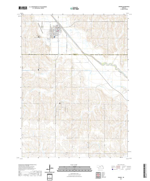 2021 Pender2021 Print · USGSPender and the surrounding Nebraska farmland are captured here in the early twenty-first century, showing the region's managed waterways. Researchers can locate the Thurston County Courthouse and family plots at Rose Hill Cem or Covenant Cem.
 - 2021 Map of Altona, 2021 Print
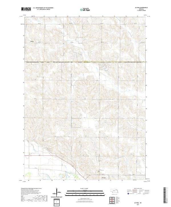 2021 Altona2021 Print · USGSAgricultural life in Wayne and Cuming counties is documented here in the early twenty-first century. Genealogists and historians can trace the rural grid between Altona and Wisner, finding local landmarks like the Norwegian Cemetery and Plum Creek.
 - 2021 Map of Altona SE, 2021 Print
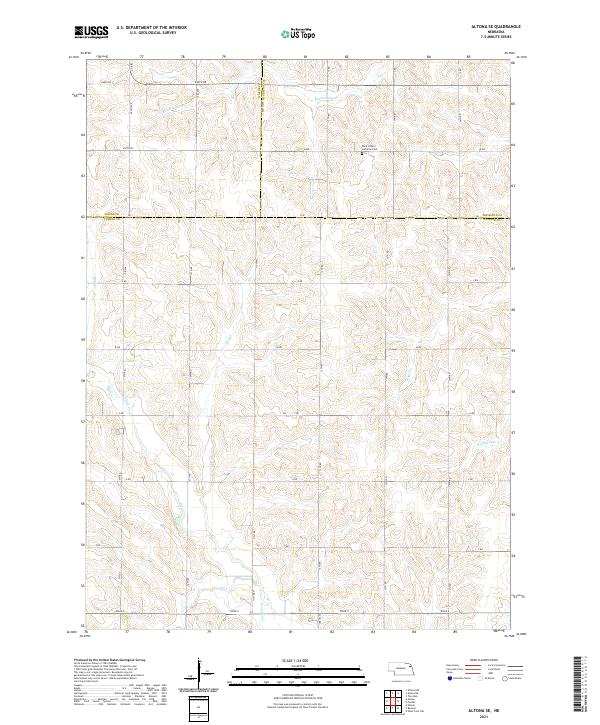 2021 Altona SE2021 Print · USGSNortheastern Nebraska farm country is captured here in the early twenty-first century as it spans the Cuming and Wayne county lines. Researchers can locate the Saint Peter's Lutheran Cem and trace the drainage of Rattlesnake Cr and Plum Cr.
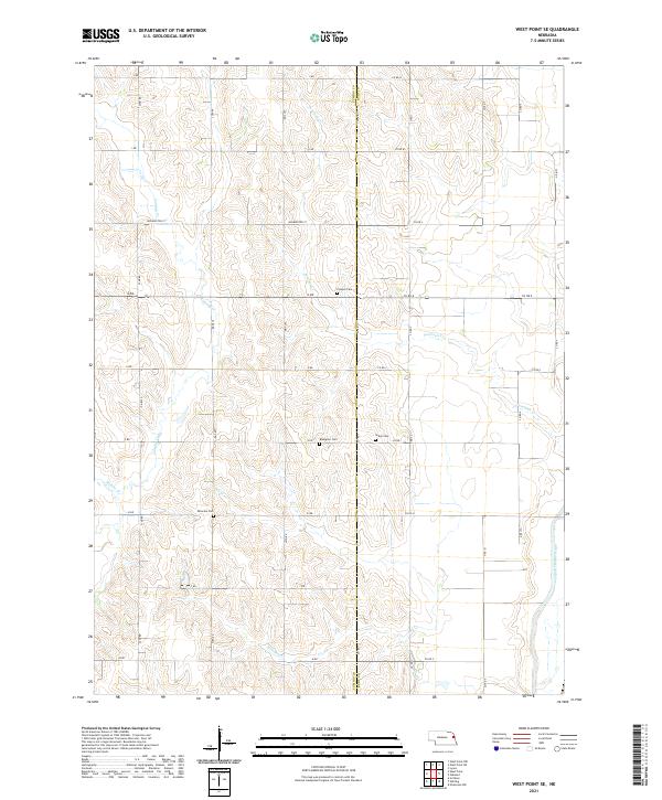
 - 2021 Map of West Point NE, 2021 Print
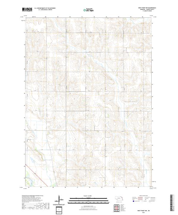
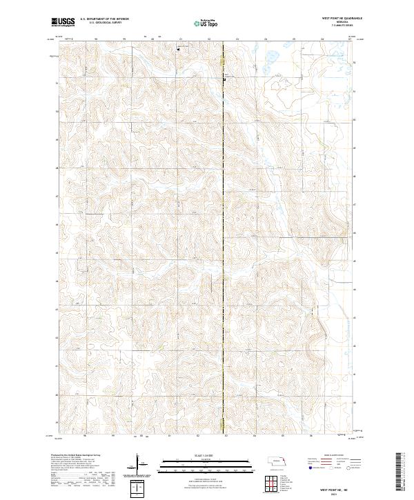 2021 West Point NE2021 Print · USGSCuming and Burt counties are captured here in the early 2020s, showing a landscape of structured section lines and winding waterways. Genealogists can pinpoint burial sites at Saint Josephs Cem and Bancroft Cem or trace the path of Little Logan Cr.
 - 2021 Map of Monterey, 2021 Print
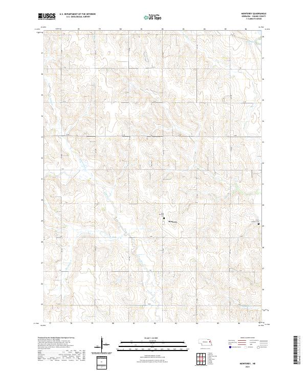 2021 Monterey2021 Print · USGSCuming County farmland is captured here in the early twenty-first century, showing the enduring grid of section roads and rural prairie drainages. Researchers can locate specific family sites and burial grounds like Saint Boniface Cem, Saint Anthony Cem, and the settlement at Monterey.
 - 2021 Map of West Point SE, 2021 Print
 2021 West Point SE2021 Print · USGSCuming and Burt counties in eastern Nebraska maintain their deep agricultural character in this contemporary survey. Family historians can locate several rural burial grounds, including Blomgren Cemetery and Salem Cemetery, alongside the distinctive Logan Creek Dredge.
 - 2021 Map of Beemer, 2021 Print
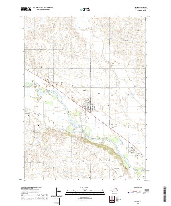 2021 Beemer2021 Print · USGSBeemer and the winding Elkhorn River valley are shown in detail during the early 2020s. Genealogists and local historians can trace family sites at Beemer Cem, Rock Creek Cem, and along the Upper Elkhorn River Trl.
 - 2021 Map of Uehling, 2021 Print
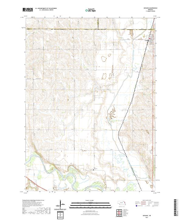 2021 Uehling2021 Print · USGSIn the fertile corridor between the Elkhorn River and Logan Creek, this modern survey shows the village of Uehling and the surrounding farm lands. Family historians and researchers can trace local landmarks like Saint Johns Cem and the distinctive route of the Logan Creek Dredge.
 - 2021 Map of West Point NW, 2021 Print
 2021 West Point NW2021 Print · USGSCuming County farmland is captured here in the early twenty-first century, showing the enduring grid of rural Nebraska life. Genealogists and local historians can locate Dewitt Cem and trace the paths of Cuming Cr and the Elkhorn River.
 - 2021 Map of West Point, 2021 Print
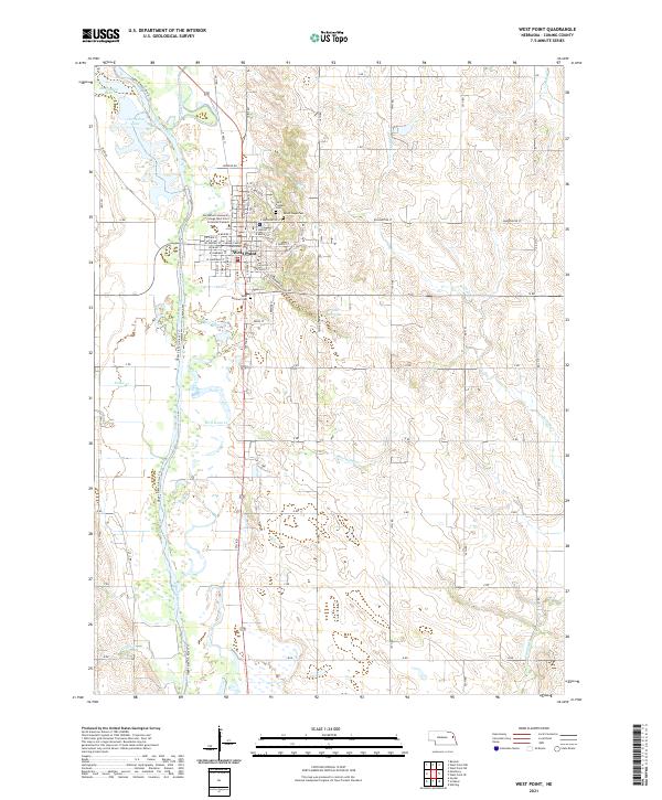 2021 West Point2021 Print · USGSCuming County, Nebraska, shows a well-established riverfront community in the 2020s, centered on the bend of the Elkhorn River. Genealogists and local researchers can locate civic landmarks like the Cuming County Courthouse or trace families at Mount Hope Cem and Saint Josephs Cem.
 - 2021 Map of Aloys, 2021 Print
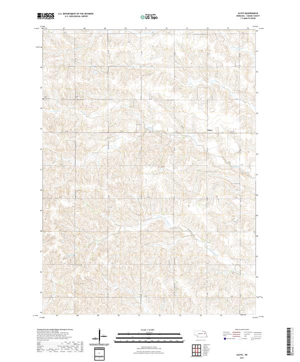 2021 Aloys2021 Print · USGSCuming County farming life is captured here in the early twenty-first century, showing the rural landscape around Aloys. Genealogists and local historians can trace the section-line roads and creek systems that define this area, finding landmarks like Saint Peters Cem and the winding course of Pebble Cr.
 - 2021 Map of Scribner, 2021 Print
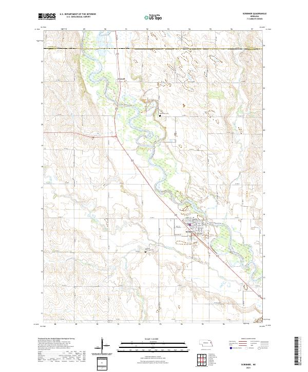 2021 Scribner2021 Print · USGSDodge County's river valley comes into sharp focus during this recent survey, showcasing the meandering path of the Elkhorn River. Genealogists and researchers can trace the streets of Scribner or locate local burials at Manhattan Cem and the Scribner Municipal Cem.
 - 2021 Map of Wisner, 2021 Print
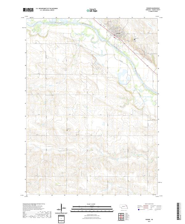 2021 Wisner2021 Print · USGSWisner and the surrounding Cuming County countryside are captured here in the early twenty-first century as the town sits nestled against the Elkhorn River. Researchers can locate specific family plots at Salem Cem or trace the winding waters of Kanes Lake and Sand Creek.
 - 2021 Map of Bancroft, 2021 Print
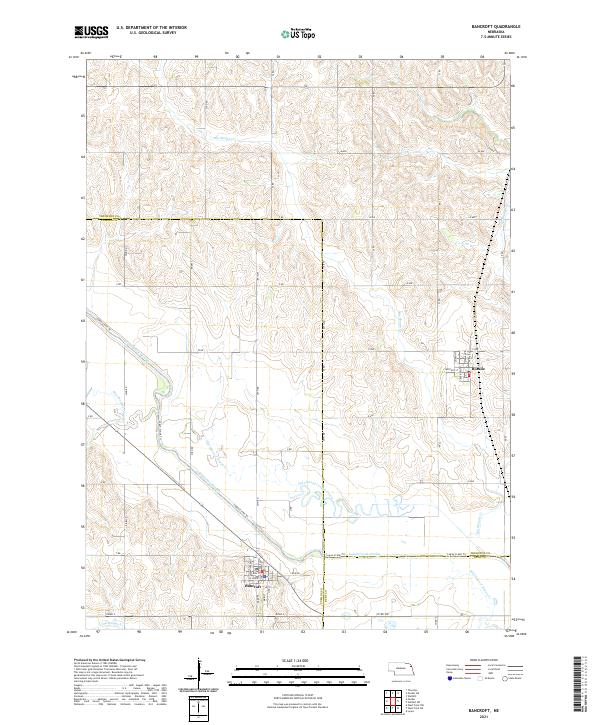 2021 Bancroft2021 Print · USGSThe prairie landscape around Bancroft and Rosalie comes into focus in this recent survey, showcasing a region defined by agricultural engineering. Genealogists and researchers can trace the modern town grids and the distinct path of the Logan Creek Dredge as it bypasses the Old Channel Logan Cr.
 - 2021 Map of Snyder, 2021 Print
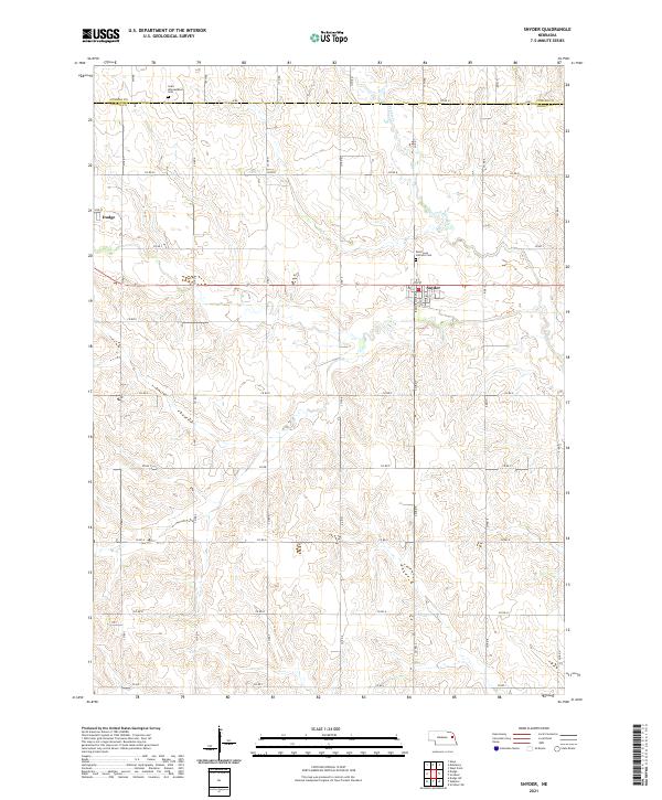 2021 Snyder2021 Print · USGSDodge County agricultural life in the early 2020s is centered on the village of Snyder and the nearby creek bottoms. Genealogists and local historians can trace family plots at Saint Leos Catholic Cemetery and Saint Wenceslaus Cemetery.
 - 2021 Map of Dodge, 2021 Print
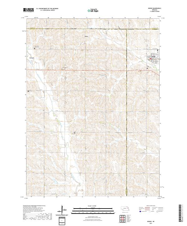 2021 Dodge2021 Print · USGSThe tri-county borderlands of Cuming, Colfax, and Dodge counties appear here in the early twenty-first century. Genealogists can trace family footprints across rural landscapes punctuated by Saints Peter and Paul Cem, Olean, and the streets of Dodge.
 - 2021 Map of Stanton SE, 2021 Print
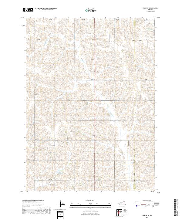 2021 Stanton SE2021 Print · USGSNortheastern Nebraska farm country is captured here in the early twenty-first century as a landscape of section lines and stream valleys. Genealogists can locate Saint Peters Cem or trace the watercourses of E Fork Maple Cr and Kucera Reservoir.
 - 2021 Map of Stanton NE, 2021 Print
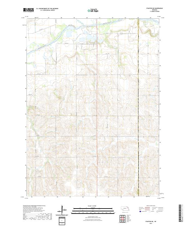 2021 Stanton NE2021 Print · USGSIn the Nebraska plains during the early 2020s, the river valley landscape is shaped by the winding Elkhorn River and a precise grid of rural roads. Researchers can trace land boundaries and local waterways like Humbug Creek, Cedar Cr, and the historical path of Old Hwy 8.
 - 2021 Map of Clarkson, 2021 Print
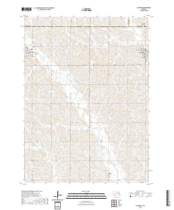 2021 Clarkson2021 Print · USGSNortheastern Nebraska farming communities appear in detail during the early 2020s, showing the settled grid between the forks of Maple Creek. Genealogists and local historians can trace family locations near Heun or the Saint John's Nepomucene Catholic Cem.
 - 2021 Map of Pilger, 2021 Print
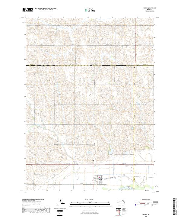 2021 Pilger2021 Print · USGSThe village of Pilger sits at the heart of this agricultural landscape as it appeared in the early 2020s. Genealogists and local historians can trace family ties at Pilger Cem or follow the route of the Old Hwy 8 Black Hills Trail Rd.
End of results
Showing maps 1-20 of 20
Top cities of Cuming County
- West Point historical maps
- Wisner historical maps
- Beemer historical maps
- Bancroft historical maps
- Monterey historical maps
Frequently asked questions
- What are the different types of historical maps available for Cuming County?
- What is the oldest map of Cuming County?
- Where can I purchase historical maps of Cuming County for my home or office?
- Where can I download high-res historical maps of Cuming County?
- Are there historical topographic maps available for Cuming County?
- Is there historical aerial imagery available for Cuming County?
- Where are historical maps of Cuming County sourced from?