Old Maps of Cuming County, Nebraska for Hiking & Exploration
Hike through history with 50 historic maps of Cuming County. Explore old trails, ghost towns, and forgotten backroads — perfect for outdoor adventurers and local explorers.
- Rediscover forgotten places: Map out old mining camps, roads, and footpaths that no longer exist on modern maps.
- Layer with modern tools: Combine with LiDAR or satellite views to plan hikes through historical terrain.
- Made for exploration: Popular among hikers, overlanders, and local history lovers.
Use these maps to find adventure and explore the hidden past of Cuming County.
Cuming County, NE maps
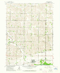
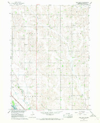
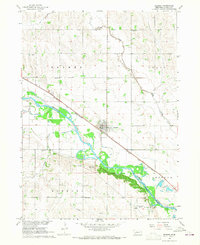
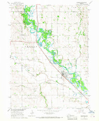
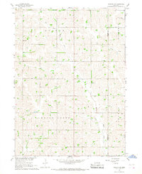
(50)- 1955 Map of Sioux City, 1959 Print
 1955 Sioux City1959 Print · USGSCovers Cuming County, including Sioux City, Norfolk, and other nearby areas4 unique versions available
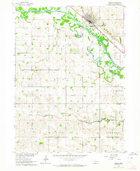
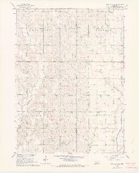
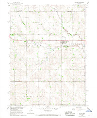
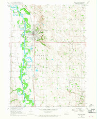
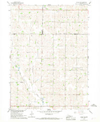
 - 1955 Map of Fremont, 1966 Print
 1955 Fremont1966 Print · USGSCovers Cuming County, including Omaha, Bellevue, and other nearby areas3 unique versions available
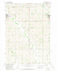
 - 1957 Map of Fremont
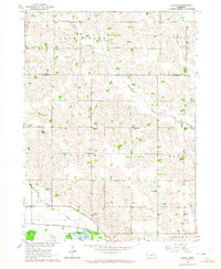
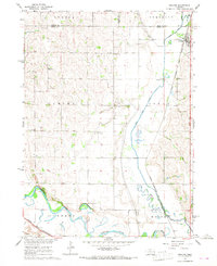
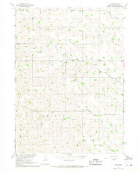
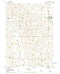
 1957 Fremont1957 Print · USGSCovers Cuming County, including Omaha, Bellevue, and other nearby areas
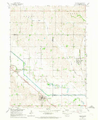
 - 1958 Map of Sioux City
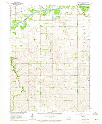
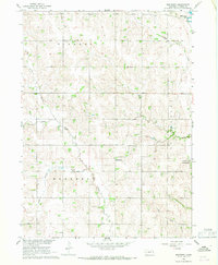
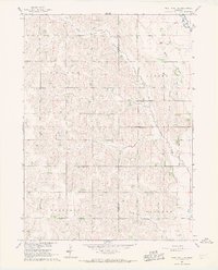
 1958 Sioux City1958 Print · USGSCovers Cuming County, including Sioux City, Norfolk, and other nearby areas
 - 1958 Map of Fremont
 1958 Fremont1958 Print · USGSCovers Cuming County, including Omaha, Bellevue, and other nearby areas
 - 1959 Map of Sioux City
 1959 Sioux City1959 Print · USGSCovers Cuming County, including Sioux City, Norfolk, and other nearby areas
 - 1963 Map of Pilger, 1964 Print
 1963 Pilger1964 Print · USGSCovers Cuming County, including Pilger, Wayne County, and other nearby areas
 - 1963 Map of Wisner, 1964 Print
 1963 Wisner1964 Print · USGSCovers Cuming County, including Wisner, United States, and other nearby areas
 - 1963 Map of Altona, 1964 Print
 1963 Altona1964 Print · USGSCovers Cuming County, including Wisner, Altona, and other nearby areas
 - 1963 Map of Stanton NE, 1964 Print
 1963 Stanton NE1964 Print · USGSCovers Cuming County, including Stanton County, United States, and other nearby areas
 - 1966 Map of West Point NW, 1967 Print
 1966 West Point NW1967 Print · USGSCovers Cuming County, including United States, Nebraska, and other nearby areas
 - 1966 Map of West Point SE, 1967 Print
 1966 West Point SE1967 Print · USGSCovers Cuming County, including Burt County, United States, and other nearby areas
 - 1966 Map of Uehling, 1967 Print
 1966 Uehling1967 Print · USGSCovers Cuming County, including Uehling, Dodge County, and other nearby areas
 - 1966 Map of Monterey, 1967 Print
 1966 Monterey1967 Print · USGSCovers Cuming County, including Monterey, United States, and other nearby areas
 - 1966 Map of Beemer, 1967 Print
 1966 Beemer1967 Print · USGSCovers Cuming County, including Beemer, Bismarck, and other nearby areas
 - 1966 Map of Snyder, 1967 Print
 1966 Snyder1967 Print · USGSCovers Cuming County, including Dodge, Snyder, and other nearby areas
 - 1966 Map of Aloys, 1967 Print
 1966 Aloys1967 Print · USGSCovers Cuming County, including Aloys, United States, and other nearby areas
 - 1966 Map of West Point NE, 1967 Print
 1966 West Point NE1967 Print · USGSCovers Cuming County, including Burt County, United States, and other nearby areas
 - 1966 Map of Scribner, 1967 Print
 1966 Scribner1967 Print · USGSCovers Cuming County, including Scribner, Crowell, and other nearby areas
 - 1966 Map of West Point, 1968 Print
 1966 West Point1968 Print · USGSCovers Cuming County, including West Point, Saint Charles, and other nearby areas2 unique versions available
 - 1966 Map of Clarkson, 1968 Print
 1966 Clarkson1968 Print · USGSCovers Cuming County, including Clarkson, Howells, and other nearby areas
 - 1966 Map of Bancroft, 1968 Print
 1966 Bancroft1968 Print · USGSCovers Cuming County, including Bancroft, Rosalie, and other nearby areas
 - 1966 Map of Stanton SE, 1968 Print
 1966 Stanton SE1968 Print · USGSCovers Cuming County, including Stanton County, United States, and other nearby areas
 - 1966 Map of Altona SE, 1968 Print
 1966 Altona SE1968 Print · USGSCovers Cuming County, including Wayne County, Thurston County, and other nearby areas
 - 1966 Map of Dodge, 1968 Print
 1966 Dodge1968 Print · USGSCovers Cuming County, including Dodge, Howells, and other nearby areas
Showing maps 1-25 of 50
Top cities of Cuming County
- West Point historical maps
- Wisner historical maps
- Beemer historical maps
- Bancroft historical maps
- Monterey historical maps
Frequently asked questions
- What are the different types of historical maps available for Cuming County?
- What is the oldest map of Cuming County?
- Where can I purchase historical maps of Cuming County for my home or office?
- Where can I download high-res historical maps of Cuming County?
- Are there historical topographic maps available for Cuming County?
- Is there historical aerial imagery available for Cuming County?
- Where are historical maps of Cuming County sourced from?