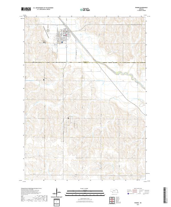
2021 Map of Pender
USGS Topo · Published 2021About this map
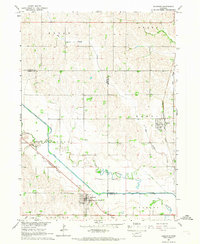
Pender serves as the focal point of this northeastern Nebraska landscape, situated near the intersection of several local waterways. The town layout is clearly defined by its residential grid, containing the Thurston County Courthouse and providing a look at the civic heart of Thurston Co. The surrounding agricultural terrain is deeply etched by a complex drainage network, including the Logan Creek Dredge and the winding Old Channel Logan Cr, which illustrate the region's historical efforts to manage water and land for farming.
Find a feature on this map
53 named features on this map. Tap any name to fly to it.
Don’t see what you’re looking for? This feature index may not catch every label — zoom into the map to look around manually.
Map Details
Editions of this 2021 Pender Map
This is the sole edition of this map. No revisions or reprints were ever made.
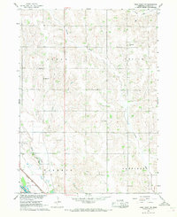
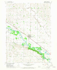
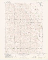
Other maps of this area

1955 · Sioux City
USGS Topo · 1:250,000

1955 · Fremont
USGS Topo · 1:250,000

1957 · Fremont
USGS Topo · 1:250,000

1958 · Sioux City
USGS Topo · 1:250,000

1958 · Fremont
USGS Topo · 1:250,000

1959 · Sioux City
USGS Topo · 1:250,000
1966 · West Point NW
USGS Topo · 1:24,000
1966 · Beemer
USGS Topo · 1:24,000
1966 · West Point NE
USGS Topo · 1:24,000
1966 · Bancroft
USGS Topo · 1:24,000