2000s (21st Century) Maps of Covington Precinct, Nebraska
Explore 14 historic maps of Covington Precinct from the 2000s (21st Century). These maps offer a rare glimpse into what life looked like during the 2000s — showing old roads, neighborhoods, homes, and landmarks that have changed or disappeared over time.
Whether you're researching your family's past, planning a metal detecting trip, or studying how Covington Precinct's landscape evolved across the 2000s, these high-resolution maps are a powerful tool for exploring the history of this region.
- Focus on a specific era: All maps on this page are from the 2000s, giving you a focused view of this time period.
- See what’s changed: Compare century-old streets, trails, and buildings to today's modern landscape using overlays and satellite layers.
- Research with precision: Use these maps for genealogy, historical research, land use analysis, or educational projects.
- View, download, or print: Maps are fully viewable online in high resolution, and can be downloaded or printed for your own records.
Start exploring Covington Precinct's history through authentic maps from the 2000s. This is your window into the past.
Covington Precinct, NE maps
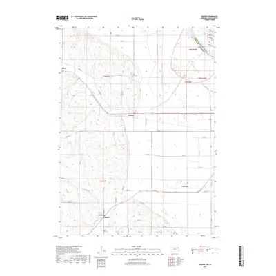
(14)- 2011 Map of Jackson, 2011 Print
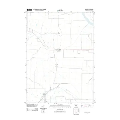 2011 Jackson2011 Print · USGSCovers Covington Precinct, including Dakota Dunes, Hubbard, and other nearby areas
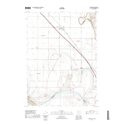
 - 2011 Map of Jefferson, 2011 Print
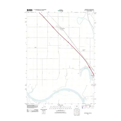 2011 Jefferson2011 Print · USGSCovers Covington Precinct, including Dakota Dunes, North Sioux City, and other nearby areas
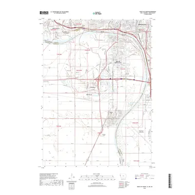
 - 2012 Map of Sioux City South, 2012 Print
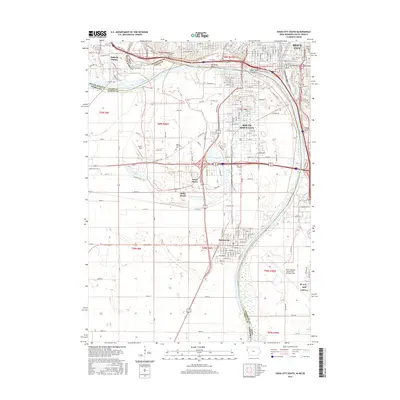
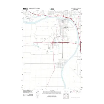 2012 Sioux City South2012 Print · USGSCovers Covington Precinct, including Sioux City, South Sioux City, and other nearby areas
 - 2012 Map of Jefferson, 2012 Print
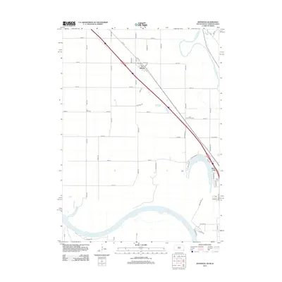 2012 Jefferson2012 Print · USGSCovers Covington Precinct, including Dakota Dunes, North Sioux City, and other nearby areas
 - 2013 Map of Sioux City South, 2013 Print
 2013 Sioux City South2013 Print · USGSCovers Covington Precinct, including Sioux City, South Sioux City, and other nearby areas
 - 2014 Map of Jackson, 2014 Print
 2014 Jackson2014 Print · USGSCovers Covington Precinct, including Dakota Dunes, Hubbard, and other nearby areas
 - 2015 Map of Jefferson, 2015 Print
 2015 Jefferson2015 Print · USGSCovers Covington Precinct, including Dakota Dunes, North Sioux City, and other nearby areas
 - 2015 Map of Sioux City South, 2015 Print
 2015 Sioux City South2015 Print · USGSCovers Covington Precinct, including Sioux City, South Sioux City, and other nearby areas
 - 2017 Map of Jackson, 2017 Print
 2017 Jackson2017 Print · USGSCovers Covington Precinct, including Dakota Dunes, Hubbard, and other nearby areas
 - 2017 Map of Jefferson, 2017 Print
 2017 Jefferson2017 Print · USGSCovers Covington Precinct, including Dakota Dunes, North Sioux City, and other nearby areas
 - 2018 Map of Sioux City South, 2018 Print
 2018 Sioux City South2018 Print · USGSCovers Covington Precinct, including Sioux City, South Sioux City, and other nearby areas
 - 2021 Map of Jackson, 2021 Print
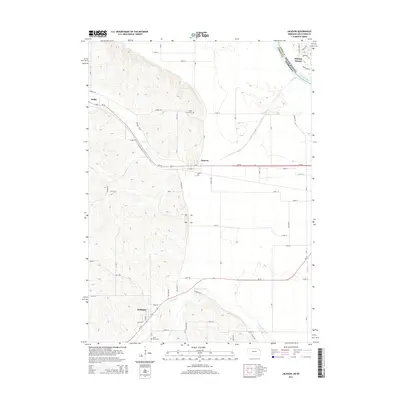
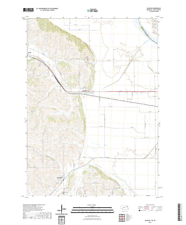 2021 Jackson2021 Print · USGSDakota County, Nebraska, and the edge of South Dakota are shown here in the early 2020s, where the Missouri River valley meets the western bluffs. Genealogists can locate family burial sites at Saint Johns Cemetery and Saint Marys Cemetery or trace the rural routes around Jackson and Hubbard.
 - 2021 Map of Jefferson, 2021 Print
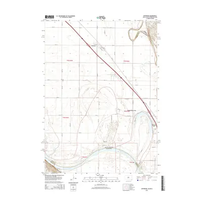
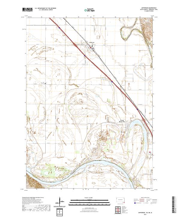 2021 Jefferson2021 Print · USGSJefferson and North Sioux City appear in this 2021 study of the tri-state border region. Genealogists and hikers can trace the shoreline of McCook Lake, find Saint Peter's Cem, or follow the River Loop Trl along the Missouri.
 - 2022 Map of Sioux City South, 2022 Print
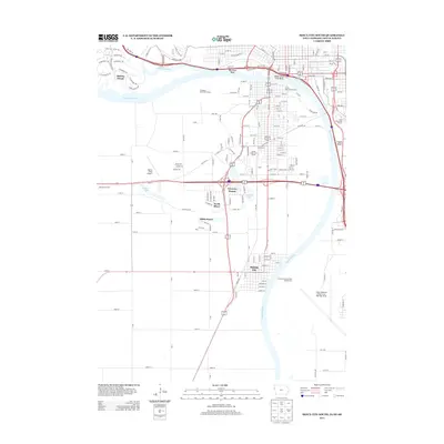
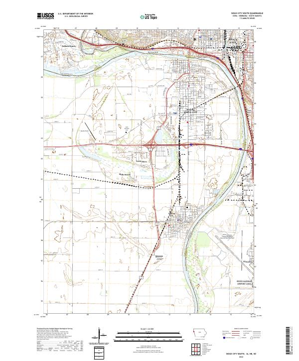 2022 Sioux City South2022 Print · USGSThe confluence of the Missouri and Big Sioux Rivers defines this modern landscape at the Iowa, Nebraska, and South Dakota border. Researchers can trace local history from the Woodbury County Courthouse to family sites near Saint Michaels Cem and the riverfront at Millis Beach.
End of results
Showing maps 1-14 of 14
Top cities near Covington Precinct
- Sioux City historical maps
- South Sioux City historical maps
- Sergeant Bluff historical maps
- Dakota Dunes historical maps
- North Sioux City historical maps
- Elk Point historical maps
See more
Top neighborhoods of Covington Precinct
Frequently asked questions
- What are the different types of historical maps available for Covington Precinct?
- What is the oldest map of Covington Precinct?
- Where can I purchase historical maps of Covington Precinct for my home or office?
- Where can I download high-res historical maps of Covington Precinct?
- Are there historical topographic maps available for Covington Precinct?
- Is there historical aerial imagery available for Covington Precinct?
- Where are historical maps of Covington Precinct sourced from?