2000s (21st Century) Maps of Gothenburg, Nebraska
Explore 8 historic maps of Gothenburg from the 2000s (21st Century). These maps offer a rare glimpse into what life looked like during the 2000s — showing old roads, neighborhoods, homes, and landmarks that have changed or disappeared over time.
Whether you're researching your family's past, planning a metal detecting trip, or studying how Gothenburg's landscape evolved across the 2000s, these high-resolution maps are a powerful tool for exploring the history of this region.
- Focus on a specific era: All maps on this page are from the 2000s, giving you a focused view of this time period.
- See what’s changed: Compare century-old streets, trails, and buildings to today's modern landscape using overlays and satellite layers.
- Research with precision: Use these maps for genealogy, historical research, land use analysis, or educational projects.
- View, download, or print: Maps are fully viewable online in high resolution, and can be downloaded or printed for your own records.
Start exploring Gothenburg's history through authentic maps from the 2000s. This is your window into the past.
Gothenburg, NE maps
(8)- 2011 Map of Willow Island, 2011 Print
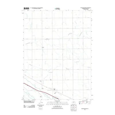 2011 Willow Island2011 Print · USGSCovers Gothenburg, including Cozad, Willow Island, and other nearby areas
 - 2011 Map of Gothenburg, 2011 Print
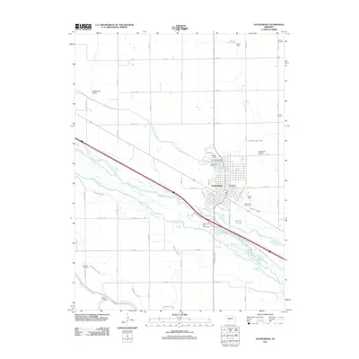 2011 Gothenburg2011 Print · USGSCovers Gothenburg, including Lincoln County, Dawson County, and other nearby areas
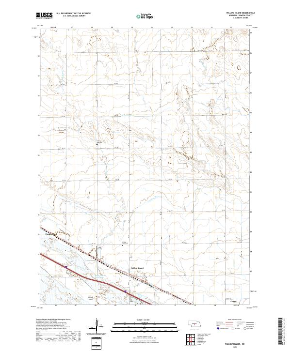
 - 2014 Map of Willow Island, 2014 Print
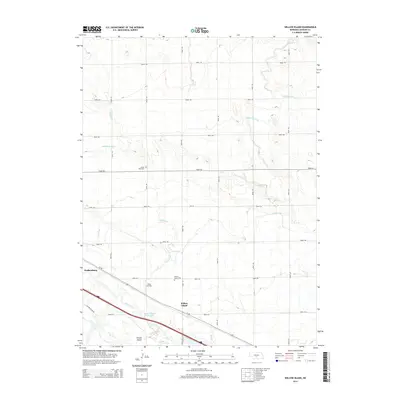 2014 Willow Island2014 Print · USGSCovers Gothenburg, including Cozad, Willow Island, and other nearby areas
 - 2014 Map of Gothenburg, 2014 Print
 2014 Gothenburg2014 Print · USGSCovers Gothenburg, including Lincoln County, Dawson County, and other nearby areas
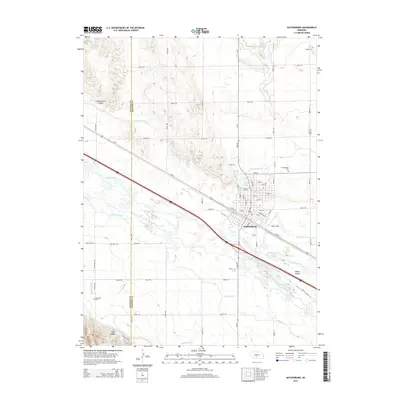
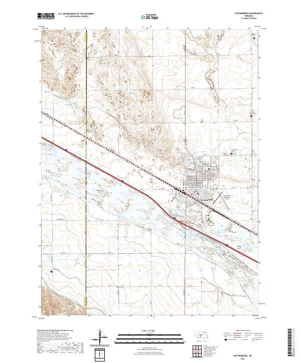
 - 2017 Map of Gothenburg, 2017 Print
 2017 Gothenburg2017 Print · USGSCovers Gothenburg, including Lincoln County, Dawson County, and other nearby areas
 - 2017 Map of Willow Island, 2017 Print
 2017 Willow Island2017 Print · USGSCovers Gothenburg, including Cozad, Willow Island, and other nearby areas
 - 2021 Map of Gothenburg, 2021 Print
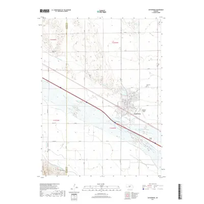
 2021 Gothenburg2021 Print · USGSThe Platte River valley in the early 2020s remains defined by its historic water works and agricultural heritage. Researchers can trace family plots at Salem Presbyterian Cem or study the irrigation network of the Gothenburg Canal and Cozad Canal.
 - 2021 Map of Willow Island, 2021 Print
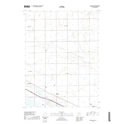
 2021 Willow Island2021 Print · USGSDawson County, Nebraska, is seen here during the early 2020s, dominated by the vital waters of the Platte River. Genealogists and local historians can trace rural landmarks like the Willow Island Cem and Grand View Cem alongside irrigation works like the Cozad Canal.
End of results
Showing maps 1-8 of 8
Top cities near Gothenburg
Frequently asked questions
- What are the different types of historical maps available for Gothenburg?
- What is the oldest map of Gothenburg?
- Where can I purchase historical maps of Gothenburg for my home or office?
- Where can I download high-res historical maps of Gothenburg?
- Are there historical topographic maps available for Gothenburg?
- Is there historical aerial imagery available for Gothenburg?
- Where are historical maps of Gothenburg sourced from?