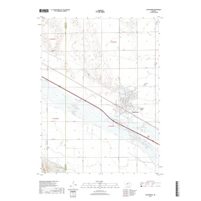
2017 Map of Gothenburg
USGS Topo · Published 2017About this map
The Gothenburg city grid and its surrounding agricultural landscape are defined by an intricate network of irrigation and water management systems. The Platte River and its North Channel dominate the central valley, flanked by the Gothenburg Canal, Cozad Canal, and the Sixmile Canal. These waterways, along with the larger Tri-County Supply Canal to the south, illustrate the engineering required to sustain Nebraska's Platte Valley farming. To the north, the terrain shifts into the Wild Horse Valley, while the southeastern corner is marked by Willow Island. Local history is anchored by several burial sites, including Gothenburg Cem, Salem Cem, and Christ Cem. The local infrastructure is further supported by the Gothenburg Municipal Airport and the recreational waters of Lake Helen, providing a clear look at the intersection of transportation, agriculture, and civic life in Dawson County.
Find a feature on this map
59 named features on this map. Tap any name to fly to it.
Don’t see what you’re looking for? This feature index may not catch every label — zoom into the map to look around manually.
Map Details
Editions of this 2017 Gothenburg Map
This is the sole edition of this map. No revisions or reprints were ever made.
Other maps of this area
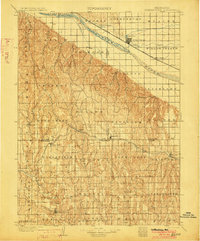
1902 · Gothenburg
USGS Topo · 1:125,000
1954 · McCook
USGS Topo · 1:250,000
1954 · North Platte
USGS Topo · 1:250,000
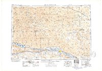
1956 · North Platte
USGS Topo · 1:250,000
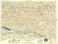
1957 · North Platte
USGS Topo · 1:250,000
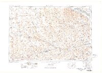
1957 · McCook
USGS Topo · 1:250,000
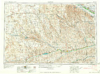
1958 · McCook
USGS Topo · 1:250,000
1967 · North Platte
USGS Topo · 1:250,000
1970 · Gothenburg
USGS Topo · 1:24,000
1970 · Jeffrey Reservoir SE
USGS Topo · 1:24,000