Old Maps of Concord Township, Nebraska for Academic Research
Study the evolution of Concord Township with 25 high-resolution historic maps. Whether you're teaching, researching, or modeling changes in land use, these maps provide essential visual documentation of urban, environmental, and geographic change.
- Analyze long-term change: Track patterns in development, transportation, and natural features.
- Ideal for environmental or urban studies: Support academic projects with primary historical map data.
- Use in the classroom or lab: Educators and researchers rely on these maps to bring historical context to life.
These maps are a powerful tool for teaching, research, and visualizing how Concord Township has changed over the decades.
Concord Township, NE maps
(25)- 1955 Map of Sioux City, 1959 Print
 1955 Sioux City1959 Print · USGSThe Missouri River valley in the mid-fifties is captured here during a time of major engineering and social transition. Genealogists and historians can trace the foundations of Gavins Point Dam, tribal boundaries on the Santee Sioux Indian Reservation, and local landmarks like the Norfolk State Hospital.4 unique versions available
 - 1958 Map of Sioux City
 1958 Sioux City1958 Print · USGSThe Missouri River valley in the late fifties was a bustling intersection of tribal lands, rail corridors, and river towns. Genealogists can trace family roots through specific rural sites like Daisy Valley School, St Johns Church and School, and Yankton State Hospital.
 - 1959 Map of Sioux City
 1959 Sioux City1959 Print · USGSThe tri-state region surrounding the Missouri River is captured here in the late fifties, showing the convergence of Nebraska, South Dakota, and Iowa. Researchers can trace rural lineages through numerous country schoolhouses like Cemetery School and the many numbered Washington School districts.
 - 1967 Map of Wakefield SW, 1969 Print
 1967 Wakefield SW1969 Print · USGSDixon and Wayne Counties were defined by a robust rail-and-water network in the late sixties. Genealogists and local historians can locate rural landmarks like Cozy Nest Sch, Immanuel Ch, and the Wakefield Cem along Logan Creek.
 - 1967 Map of Concord, 1969 Print
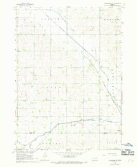
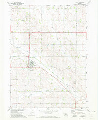
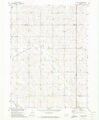
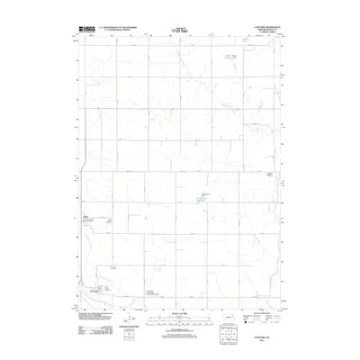
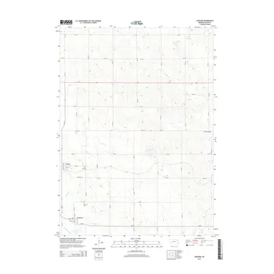
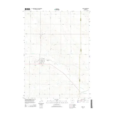
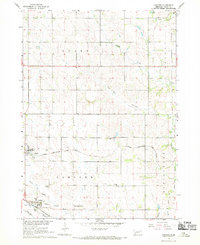 1967 Concord1969 Print · USGSDixon County farmland is mapped here in the late sixties, showing the rural structure of the Nebraska plains. You can trace early burial sites at St Annes Cem and Concord Cem, or follow the rail lines of the Chicago and North Western.
 - 1971 Map of Laurel, 1973 Print
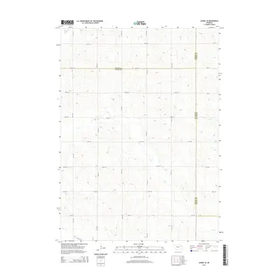
 1971 Laurel1973 Print · USGSNortheastern Nebraska agricultural lands are captured here in the early seventies as the rail lines still converged at Laurel. Genealogists and local historians can locate rural landmarks like Golden Prairie Sch, Logan Center Ch, and the Laurel Cem.
 - 1971 Map of Laurel SE, 1973 Print
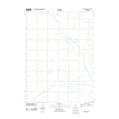
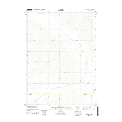
 1971 Laurel SE1973 Print · USGSThe tri-county boundary of Wayne, Cedar, and Dixon counties is shown in the early 1970s, capturing a traditional Nebraska farming landscape. Researchers can trace the Old RR Grade and locate rural landmarks like Mount Hope Cem and Sunny Slope Sch.
 - 1985 Map of Norfolk, 1986 Print
 1985 Norfolk1986 Print · USGSNortheast Nebraska in the mid-eighties shows a landscape shaped by the Elkhorn River and established rail corridors. Trace the growth of towns like Norfolk and Wayne, locating institutional landmarks such as Wayne State College and Norfolk Regional Center.2 unique versions available
 - 1986 Map of Sioux City South
 1986 Sioux City South1986 Print · USGSThe tri-state borderlands of Iowa, Nebraska, and South Dakota come into focus in the mid-1980s as a landscape of tribal lands and rail corridors. Researchers can trace the extensive boundaries of the Winnebago Indian Reservation and find local landmarks like Morningside College and Martin Field.2 unique versions available
 - 2011 Map of Concord, 2011 Print
 2011 Concord2011 Print · USGSCovers Concord Township, including Concord, Dixon, and other nearby areas
 - 2011 Map of Wakefield SW, 2011 Print
 2011 Wakefield SW2011 Print · USGSCovers Concord Township, including Wakefield, Springbank Township, and other nearby areas
 - 2011 Map of Laurel, 2011 Print
 2011 Laurel2011 Print · USGSCovers Concord Township, including Laurel, Clark Township, and other nearby areas
 - 2011 Map of Laurel SE, 2011 Print
 2011 Laurel SE2011 Print · USGSCovers Concord Township, including Wayne, Logan Township, and other nearby areas
 - 2014 Map of Laurel SE, 2014 Print
 2014 Laurel SE2014 Print · USGSCovers Concord Township, including Wayne, Logan Township, and other nearby areas
 - 2014 Map of Concord, 2014 Print
 2014 Concord2014 Print · USGSCovers Concord Township, including Concord, Dixon, and other nearby areas
 - 2014 Map of Laurel, 2014 Print
 2014 Laurel2014 Print · USGSCovers Concord Township, including Laurel, Clark Township, and other nearby areas
 - 2014 Map of Wakefield SW, 2014 Print
 2014 Wakefield SW2014 Print · USGSCovers Concord Township, including Wakefield, Springbank Township, and other nearby areas
 - 2017 Map of Wakefield SW, 2017 Print
 2017 Wakefield SW2017 Print · USGSCovers Concord Township, including Wakefield, Springbank Township, and other nearby areas
 - 2017 Map of Concord, 2017 Print
 2017 Concord2017 Print · USGSCovers Concord Township, including Concord, Dixon, and other nearby areas
 - 2017 Map of Laurel SE, 2017 Print
 2017 Laurel SE2017 Print · USGSCovers Concord Township, including Wayne, Logan Township, and other nearby areas
 - 2017 Map of Laurel, 2017 Print
 2017 Laurel2017 Print · USGSCovers Concord Township, including Laurel, Clark Township, and other nearby areas
 - 2021 Map of Wakefield SW, 2021 Print
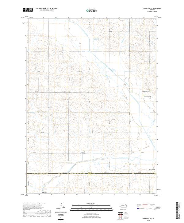 2021 Wakefield SW2021 Print · USGSAgricultural lands along the Dixon and Wayne county line are captured here in the early twenty-first century. Researchers can trace rural property access and water management through the Logan Creek Dredge and the historic Old Channel Logan Creek.
 - 2021 Map of Concord, 2021 Print
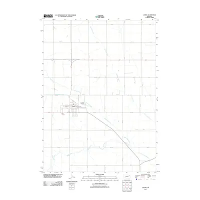
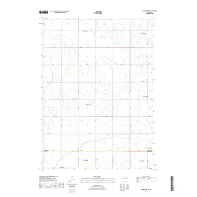
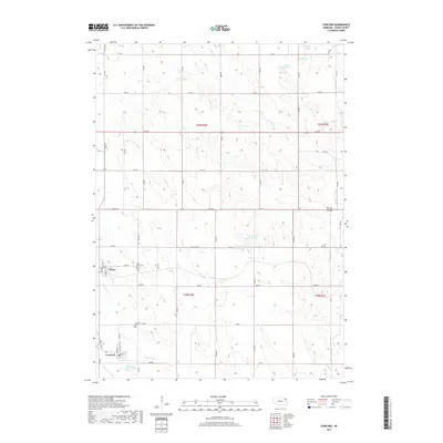
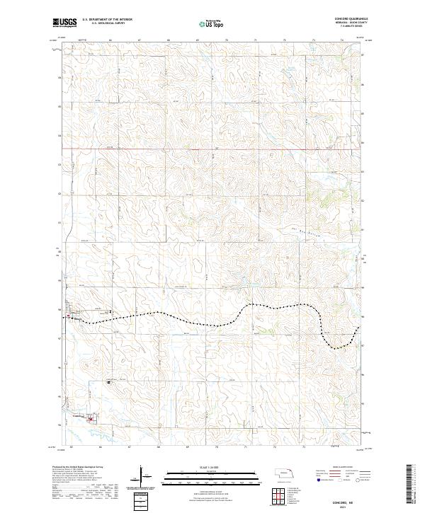 2021 Concord2021 Print · USGSDixon and Concord serve as the primary settlements in this rural Dixon County region during the early twenty-first century. Genealogists can locate Saint Annes Cem and Concord Cem, while historians can trace the paths of Jordan Cr and the Old Channel Logan Creek.
 - 2021 Map of Laurel SE, 2021 Print
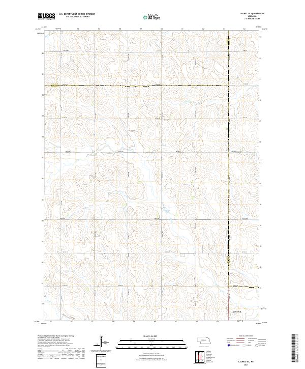 2021 Laurel SE2021 Print · USGSNortheast Nebraska's rural landscape is captured here in the early 2020s, where the borders of Wayne, Cedar, and Dixon counties meet. Genealogists and land researchers can trace property layouts along Dog Cr and historical section lines like 864th Rd and 576th Ave.
 - 2021 Map of Laurel, 2021 Print
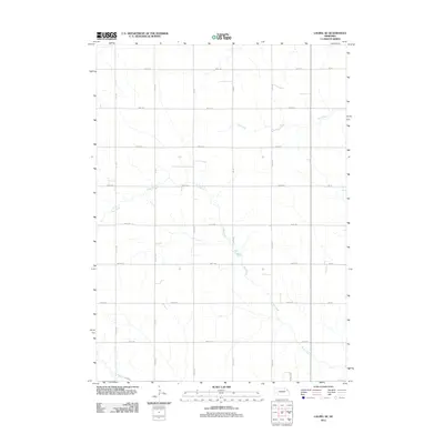
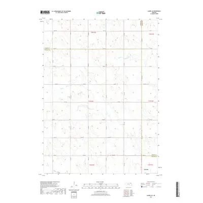
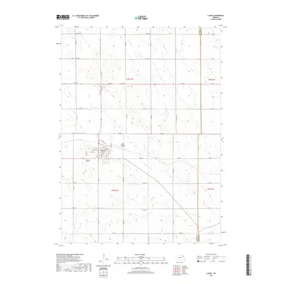
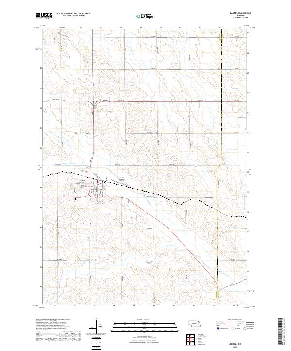 2021 Laurel2021 Print · USGSThe agricultural landscape around Laurel appears in high detail during the early 2020s, showing a region shaped by modern irrigation and water management. Researchers can trace the town’s growth near Laurel Cem or follow the path of the Logan Cr Dredge and Baker Cr.
End of results
Showing maps 1-25 of 25
Top cities near Concord Township
- Wayne historical maps
- Wakefield historical maps
- Laurel historical maps
- Winside historical maps
- Allen historical maps
- Concord historical maps
See more
Top neighborhoods of Concord Township
Frequently asked questions
- What are the different types of historical maps available for Concord Township?
- What is the oldest map of Concord Township?
- Where can I purchase historical maps of Concord Township for my home or office?
- Where can I download high-res historical maps of Concord Township?
- Are there historical topographic maps available for Concord Township?
- Is there historical aerial imagery available for Concord Township?
- Where are historical maps of Concord Township sourced from?